Cyclone Batsirai in the South Indian Ocean

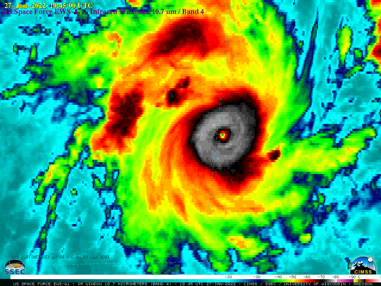
US Space Force EWS-G1 Infrared Window (10.7 µm) images [click to play animated GIF | MP4]
US Space Force EWS-G1 (formerly GOES-13) Infrared Window (10.7 µm) images (above) showed Cyclone Batsirai in the South Indian Ocean as it rapidly intensified from a Tropical Storm at 06 UTC to Category 2 storm (at 12 UTC on 27 January) and briefly exhibited a pinhole eye — and then rapidly collapsed back to Tropical Storm intensity by 00 UTC on 28 January 2022 (SATCON).
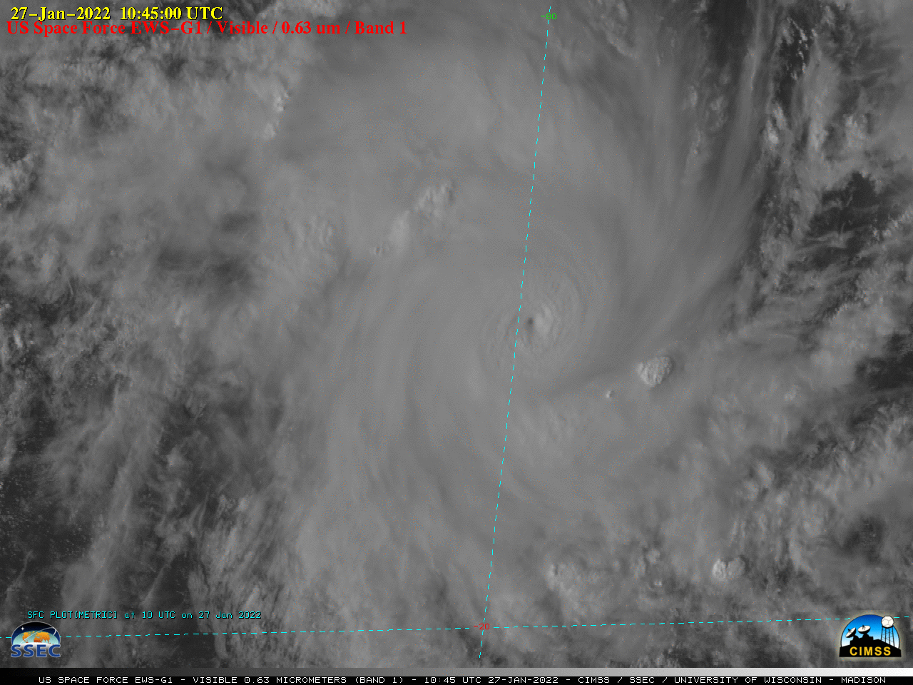
EWS-G1 Visible (0.63 µm) images (below) also displayed the rapid formation of a pinhole eye.

US Space Force EWS-G1 Visible (0.63 µm) images [click to play animated GIF | MP4]
A map of Sea Surface Temperature from the CIMSS Tropical Cyclones site (below) showed that Batsirai had been moving over relatively warm water during its period of rapid intensification.


