Other blog posts showing examples of hole punch features can be found at this link.
Hole punch cloud features over Wisconsin and Illinois
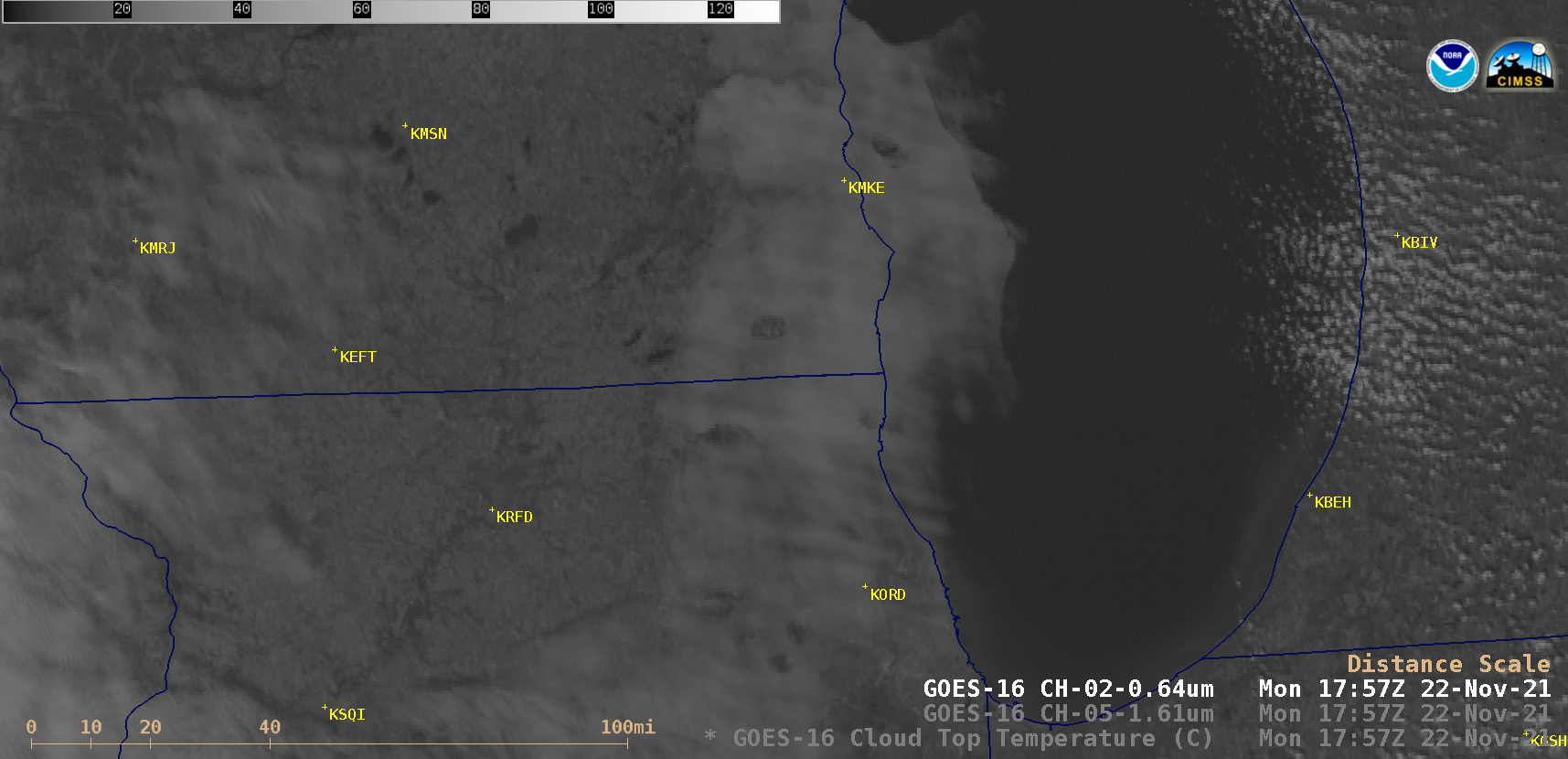
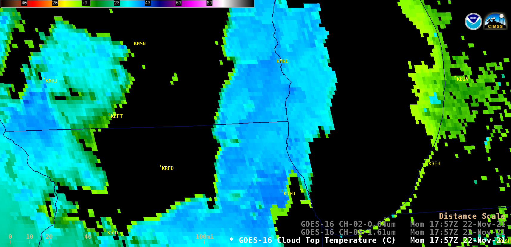
GOES-16 (GOES-East) “Red” Visible (0.64 µm) and Near-Infrared “Snow/Ice” (1.61 µm) images (above) revealed the formation of several “hole punch” features across southeastern Wisconsin, northeastern Illinois and Lake Michigan on 22 November 2021 . These cloud features were caused by aircraft that were either ascending or descending through a relatively thin layer of clouds composed of supercooled water droplets — cooling from wake turbulence (reference) and/or particles from the jet engine exhaust acted as ice condensation nuclei, causing the small supercooled water droplets to turn into larger ice crystals (many of which then fall from the cloud layer, creating “fallstreak holes“). The ice crystal clouds appear as darker shades of gray on the 1.61 µm Snow/Ice images.The GOES-16 Cloud Top Temperature derived product (below) showed that values were generally in the -30 to -35ºC range.
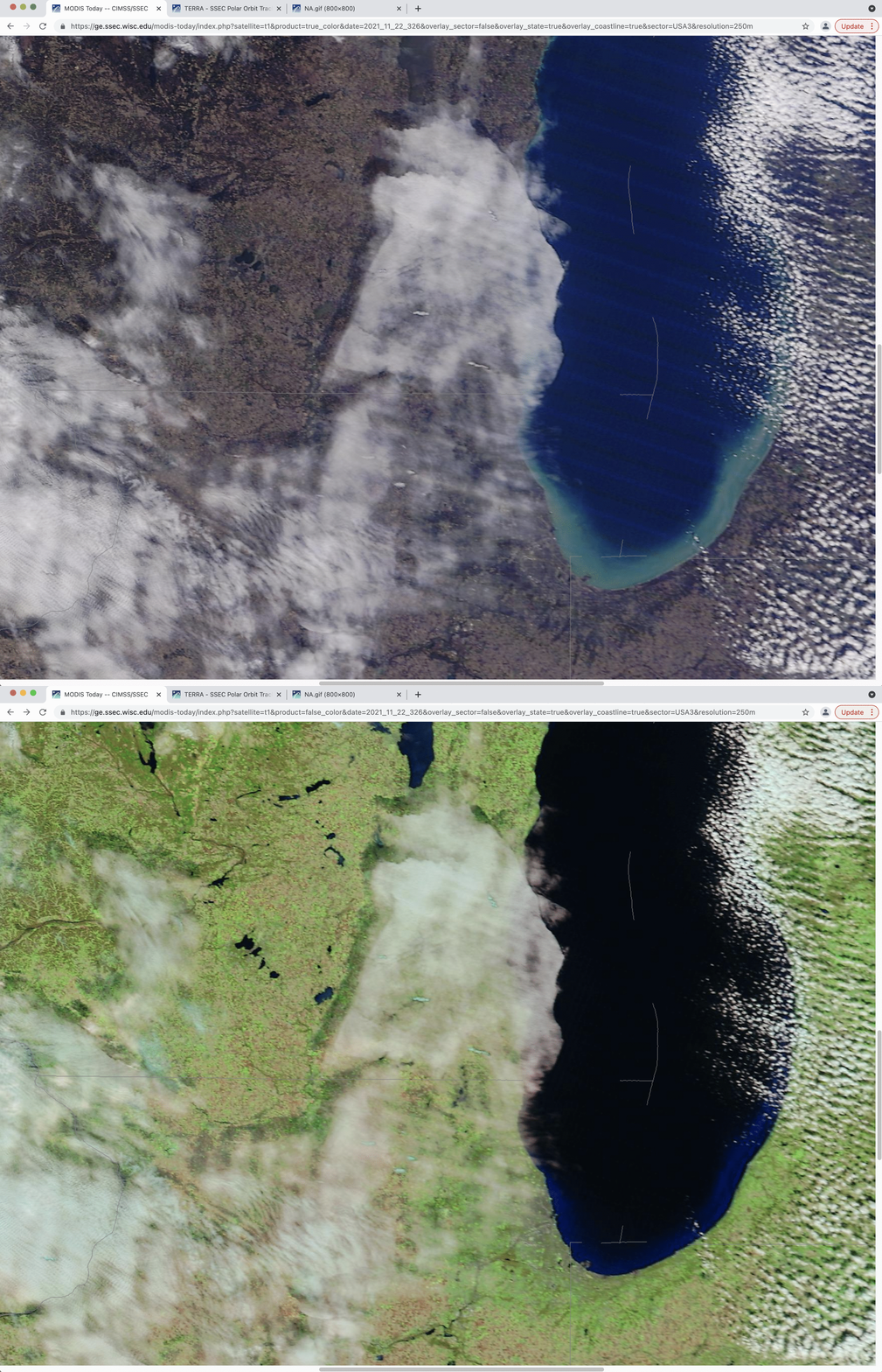
A toggle between 250-meter resolution Terra MODIS True Color and False Color RGB images from the MODIS Today site (below) provided a more detailed view of the numerous hole punch features at 1730 UTC, including a better depiction of the glaciated fallstreak clouds (shades of cyan) within the middle of each hole punch.