Actinoform cloud in the East Pacific

GOES-17 True Color RGB images [click to play animated GIF | MP4]
GOES-17 (GOES-West) True Color RGB images created using Geo2Grid (above) showed a cyclonically-rotating actinoform cloud feature that was moving west-southwestward across the East Pacific Ocean (about midway between Hawai’i and California) on 16 November 2021.
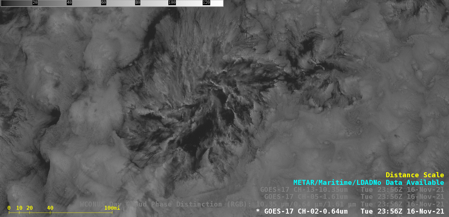
In GOES-17 Day Cloud Phase Distinction RGB images (below), the increasing shades of green exhibited by the curved bands of shallow convection suggested that those features were likely mixed-phase clouds — composed of a combination of liquid/supercooled water droplets and ice particles.

GOES-17 Day Cloud Phase Distinction RGB images [click to play animated GIF | MP4]
Similarly, in a toggle between NOAA-20 VIIRS True Color and False Color RGB images viewed using RealEarth (below), darker shades of cyan suggested the presence of mixed-phase banded cloud elements within the core of the actinoform feature.
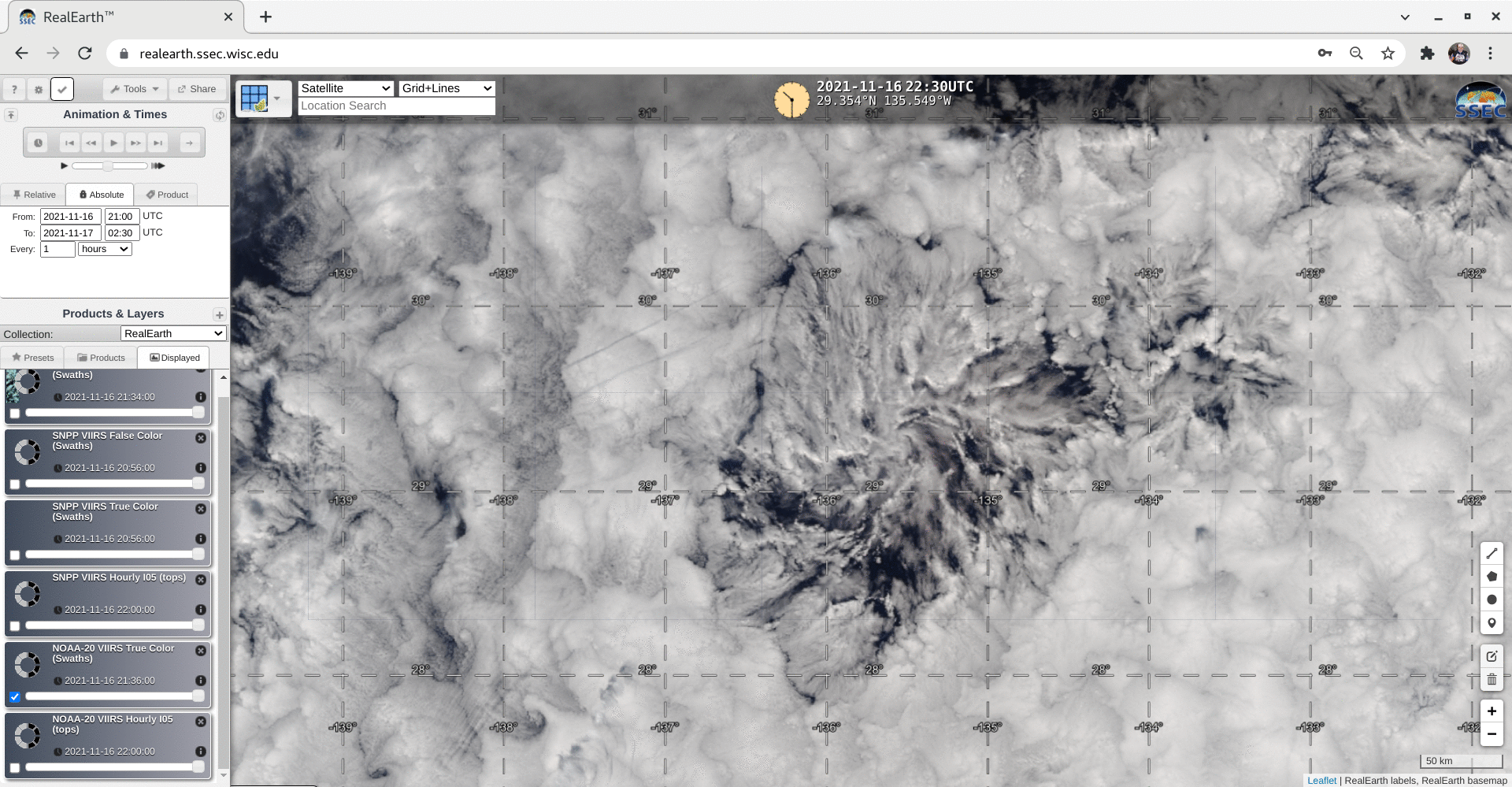
NOAA-20 VIIRS True Color and False Color images at 2218 UTC [click to enlarge]
Other examples of actinoform clouds can be examined by scrolling through this link.