Eruption of Manam in Papua New Guinea
Himawari-8 True Color RGB images [click to play animated GIF | MP4]
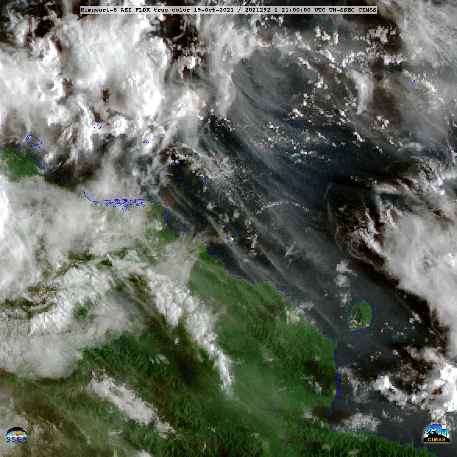
The Manam volcano in Papua New Guinea erupted around 2200 UTC on 19 October 2021. JMA Himawari-8 True Color RGB images created using Geo2Grid (above) showed lower- to middle-altitude ash clouds (shades of tan to brown) moving westward and northward, while the main eruptive cloud — composed of a mixture of ash, SO2 and ice particles — spread out at high altitudes to the east and north. (Side note: brief flashes of sun glint off some of the island rivers were also seen.)
Retrieved values of Ash Height from the NOAA/CIMSS Volcanic Cloud Monitoring site (below) indicated that the Manam eruption cloud reached maximum altitudes within the 16-18 km range.

Himawari-8 Ash Height [click to play animated GIF | MP4]