Hurricane Larry makes landfall in Newfoundland, then affects Greenland

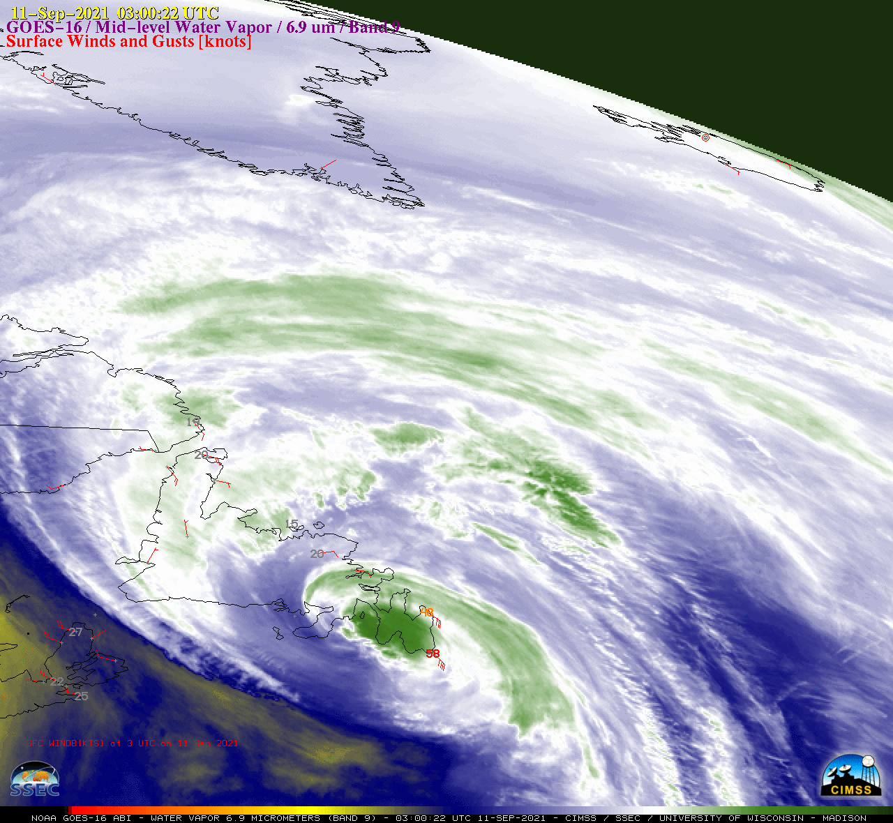
GOES-16 Mid-level Water Vapor (6.9 µm) images [click to play animation | MP4]
GOES-16 (GOES-East) Mid-level Water Vapor (6.9 µm) images (above) showed Hurricane Larry as it made landfall in Newfoundland at 0345 UTC on 11 September 2021 (causing wind gusts to 73 knots at Cape Race and 78 knots at St. Johns) — maintained hurricane intensity until 1500 UTC over the Labrador Sea — then was quickly absorbed by a large extratropical low as it progressed toward the southeast coast of Greenland on 12 September. Along the coast of Greenland, the merged remnants of Larry caused wind gusts to 63 knots at Narsarsuaq and 88 knots at Kulusuk.
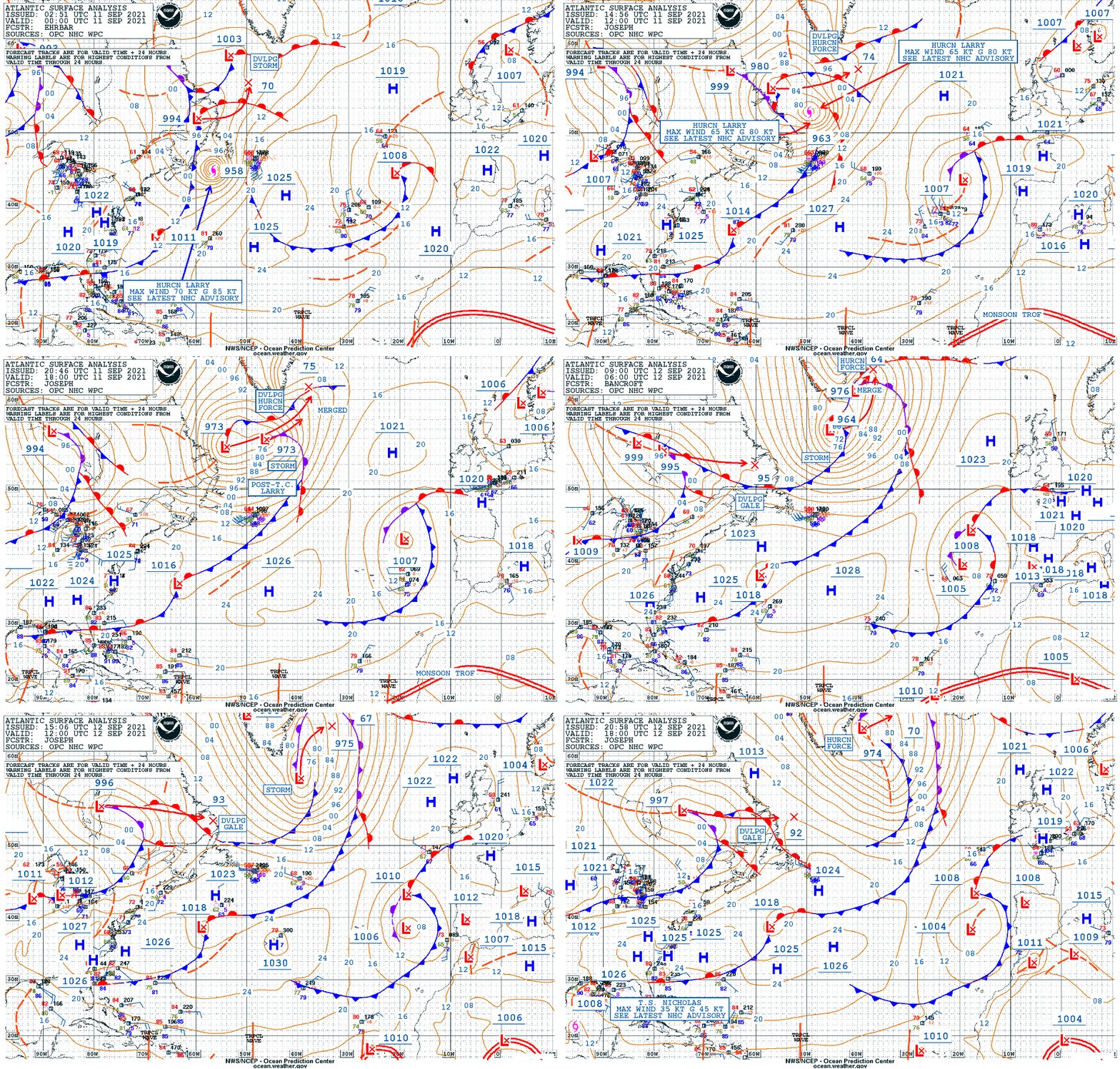
Surface analyses during this period (source) are shown below.

Surface analyses [click to enlarge | MP4]
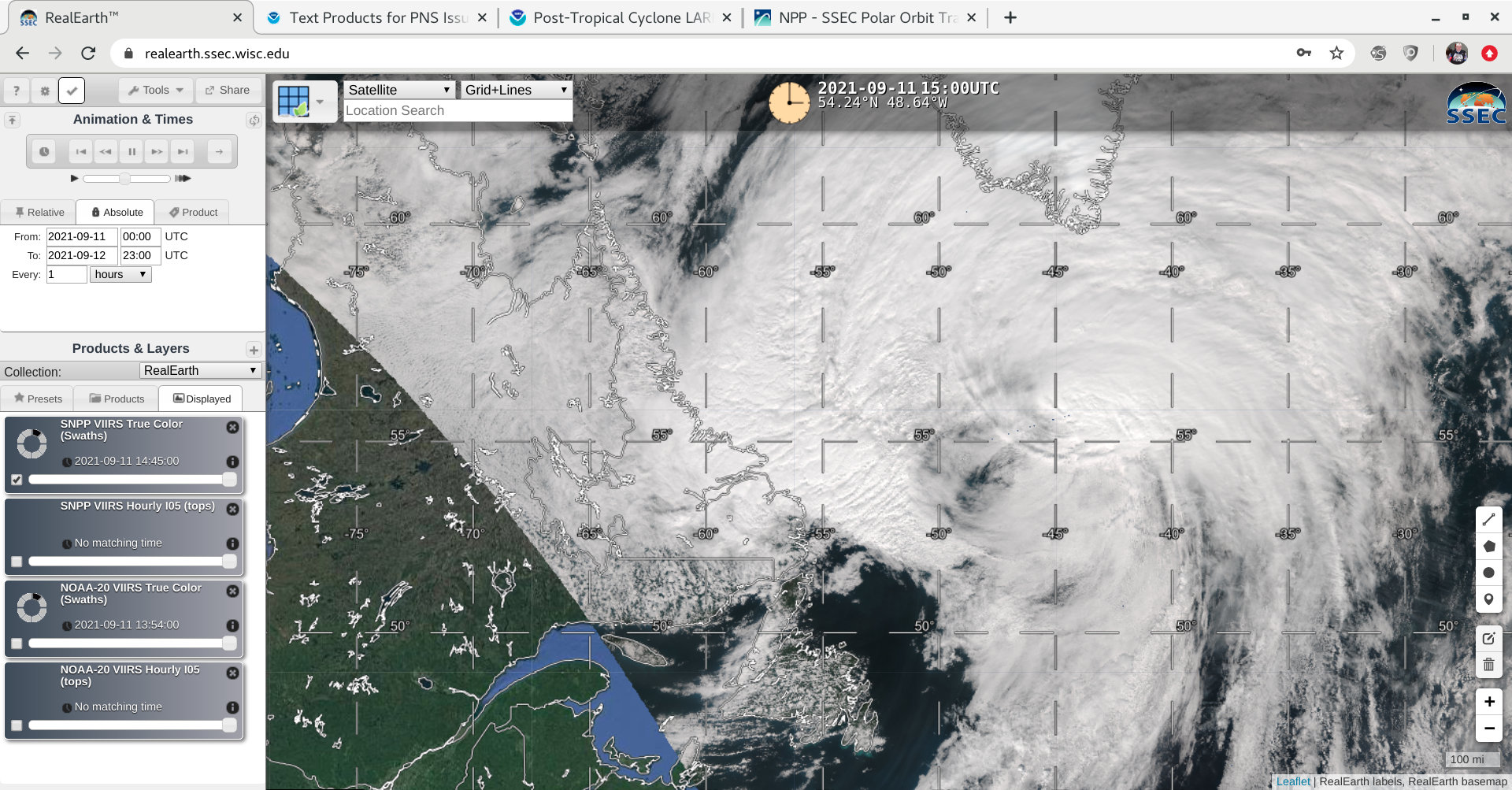
A VIIRS True Color RGB image from Suomi NPP as viewed using RealEarth (below) showed clouds associated with Post-Tropical Cyclone Larry at 1530 UTC on 11 September, when the system was centered at 54.0 N latitude, 48.2 W latitude over the Labrador Sea.
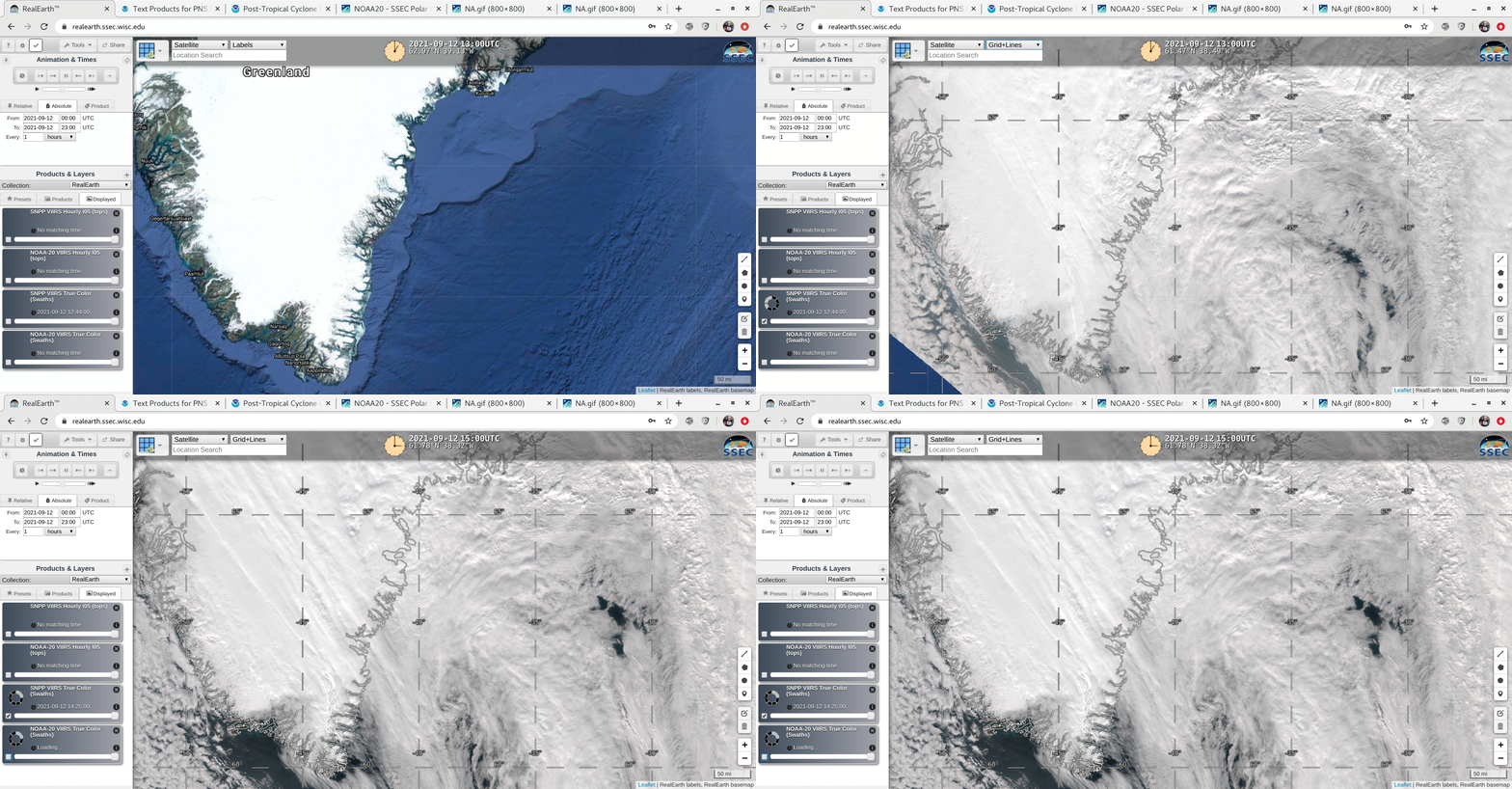
VIIRS True Color RGB images from Suomi NPP on 12 September (below) show the merged remnants of Larry as the large extratropical low was off the southeast coast of Greenland.


