Wildfires in South Dakota
![GOES-16 Shortwave Infrared images, with hourly surface wind barbs (cyan) and gusts (in knots, red); Interstate 90 is plotted in red [click to play animation | MP4]](https://cimss.ssec.wisc.edu/satellite-blog/images/2021/03/210329_goes16_shortwaveInfrared_winds_SD_fires_anim.gif)
GOES-16 Shortwave Infrared (3.9 µm) images, with hourly surface wind barbs (cyan) and gusts (in knots, red); Interstate 90 is plotted in red [click to play animation | MP4]
Taking a closer look at the fire just west of Rapid City, a 4-panel comparison of GOES-16 Fire Temperature RGB, Shortwave Infrared, Fire Power and Fire Temperature Characterization products (below) showed that this was not a particularly large or hot fire, whose signature was sometimes obscured by clouds moving overhead.
![GOES-16 Fire Temperature RGB (top left), Shortwave Infrared (top right), Fire Power (bottom left) and Fire Temperature (bottom right) [click to play animation | MP4]](https://cimss.ssec.wisc.edu/satellite-blog/images/2021/03/210329_goes16_4panel_Rapid_City_SD_fire_anim.gif)
GOES-16 Fire Temperature RGB (top left), Shortwave Infrared (3.9 µm, top right), Fire Power (bottom left) and Fire Temperature (bottom right) [click to play animation | MP4]
===== 30 March Update =====
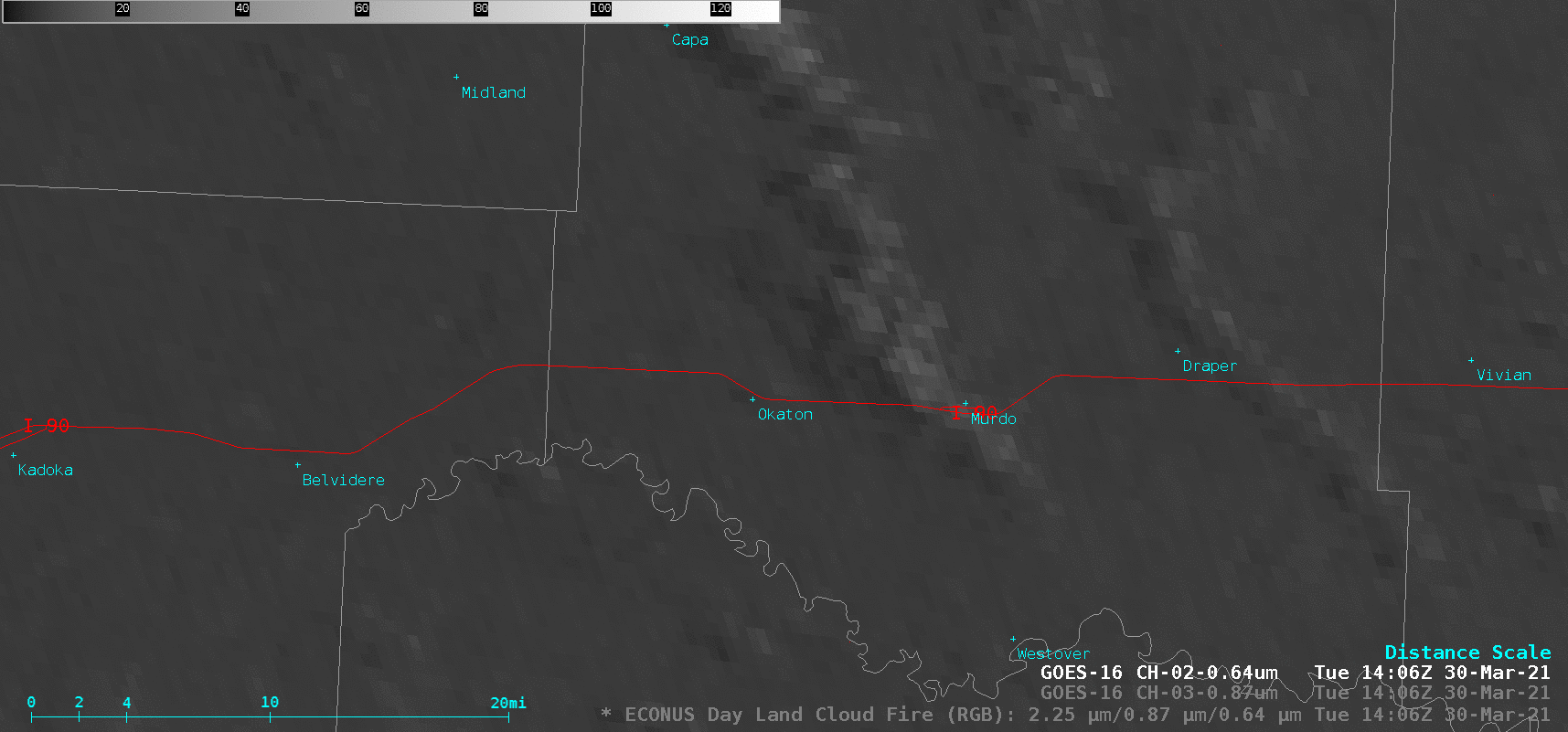
GOES-16 “Red” Visible (0.64 µm), Near-Infrared “Vegetation” (0.86 µm) and Day Land Cloud Fire RGB images [click to play animation | MP4]