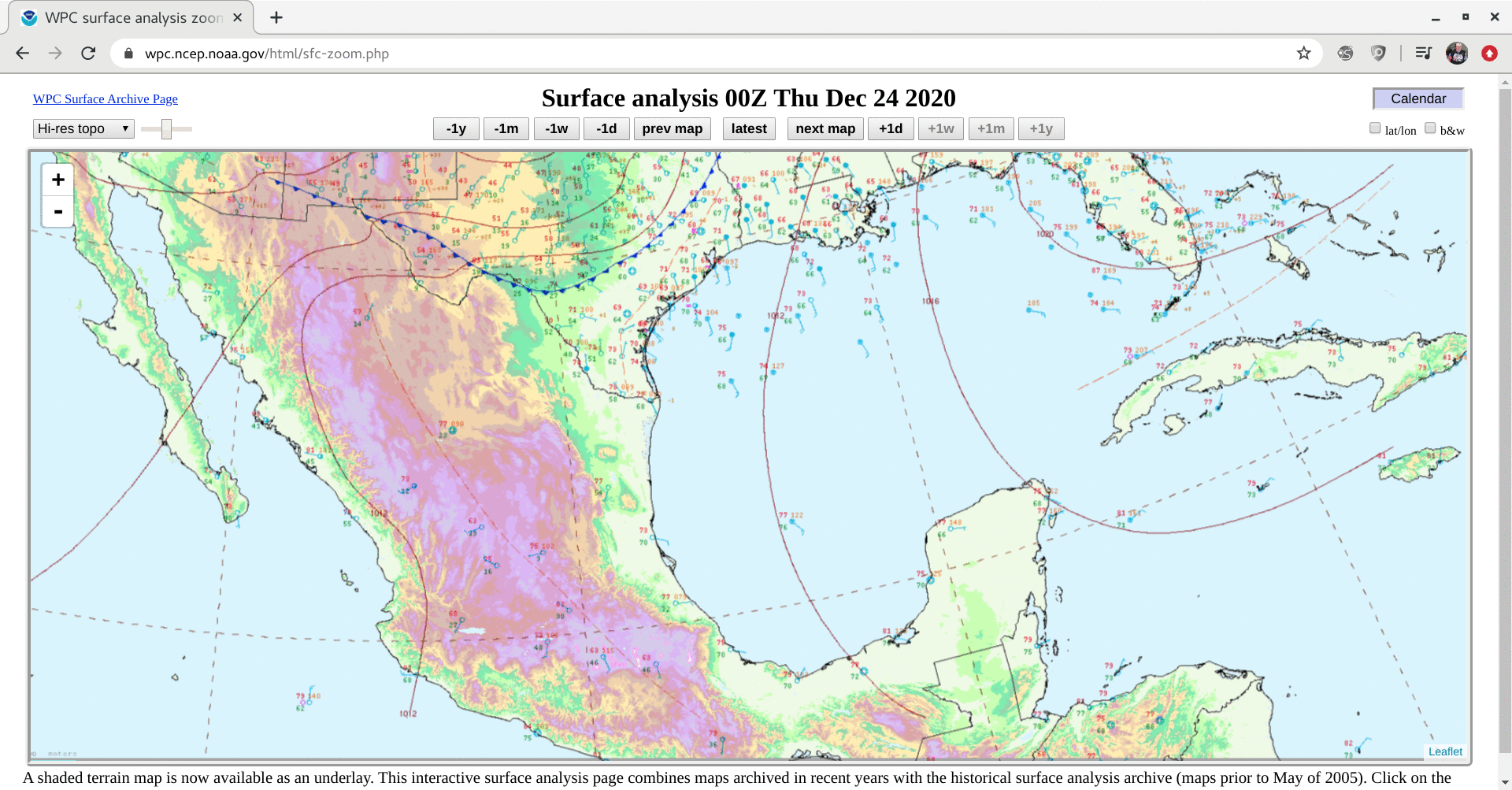
Tehuano wind event
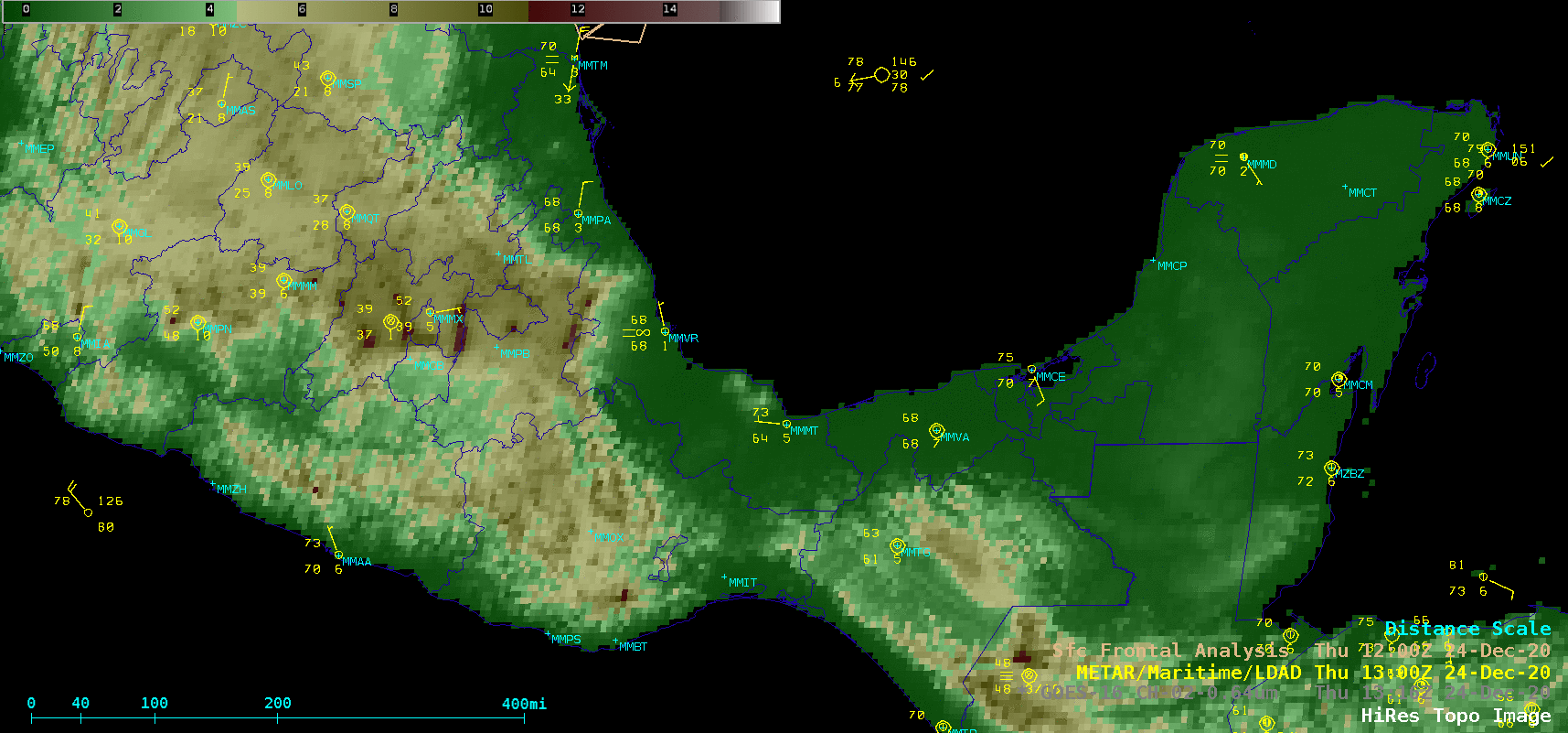
Topography + GOES-16 “Red” Visible (0.64 µm) images [click to play animation | MP4]
GOES-16 True Color RGB images created using Geo2Grid (below) showed the hazy signature of blowing dust/sand as it was transported off the south coast of Mexico and spread out across the Gulf of Tehuantepec.
![GOES-16 True Color RGB images [click to play animation | MP4]](https://cimss.ssec.wisc.edu/satellite-blog/images/2020/12/201224_goes16_trueColorGB_Tehuano_anim.gif)
GOES-16 True Color RGB images [click to play animation | MP4]
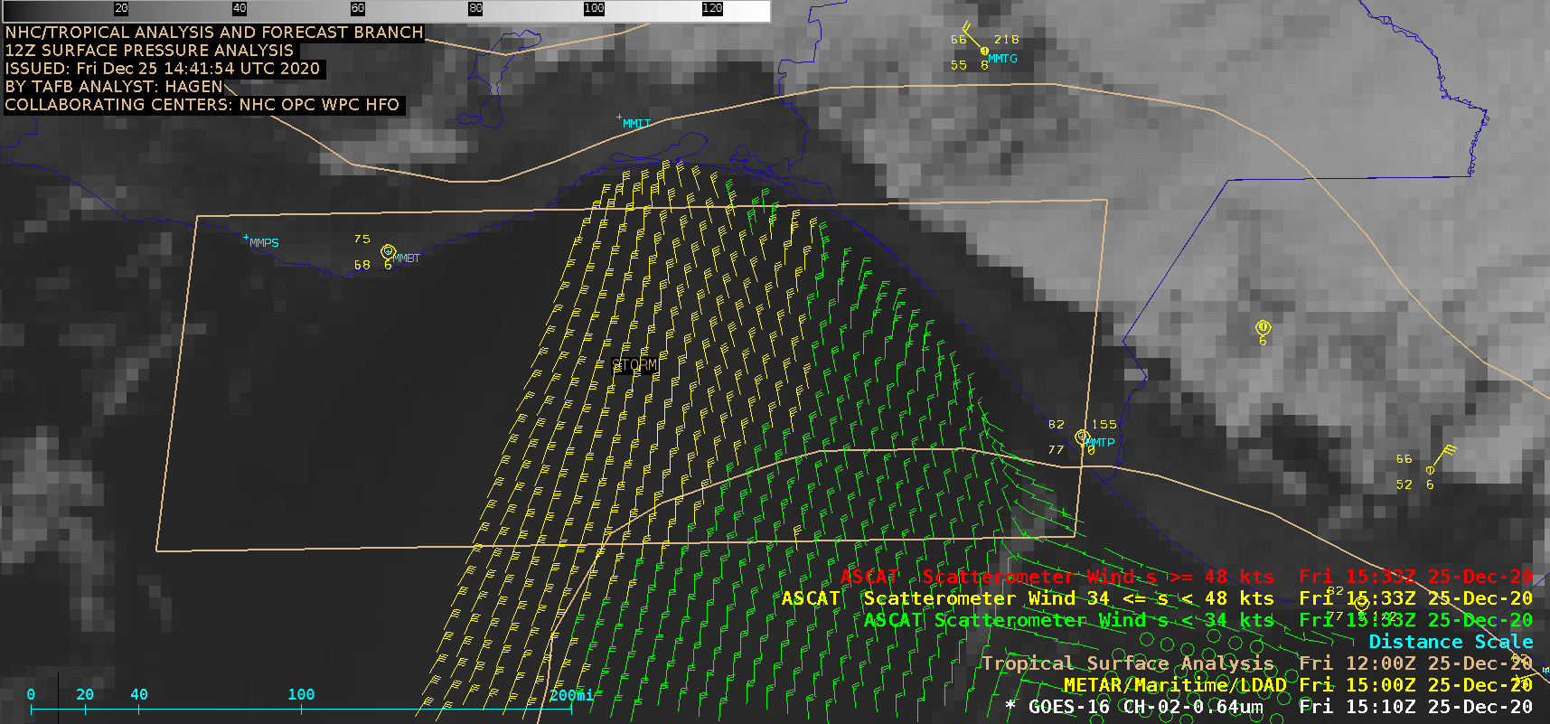
===== 25 December Update =====
![GOES-16 "Red" Visible (0.64 µm) images [click to play animation | MP4]](https://cimss.ssec.wisc.edu/satellite-blog/images/2020/12/201225_goes16_visible_Tehuano_anim.gif)
GOES-16 “Red” Visible (0.64 µm) images [click to play animation | MP4]
GOES-16 True Color RGB images (below) showed the hazy signature of blowing dust from Mexico as it spread out across the Pacific Ocean.
![GOES-16 True Color RGB images [click to play animation | MP4]](https://cimss.ssec.wisc.edu/satellite-blog/images/2020/12/201225_goes16_trueColorRGB_Tehuano_anim.gif)
GOES-16 True Color RGB images [click to play animation | MP4]
![GOES-17 True Color RGB images [click to play animation | MP4]](https://cimss.ssec.wisc.edu/satellite-blog/images/2020/12/201225_goes17_trueColorRGB_Tehuano_anim.gif)
GOES-17 True Color RGB images [click to play animation | MP4]