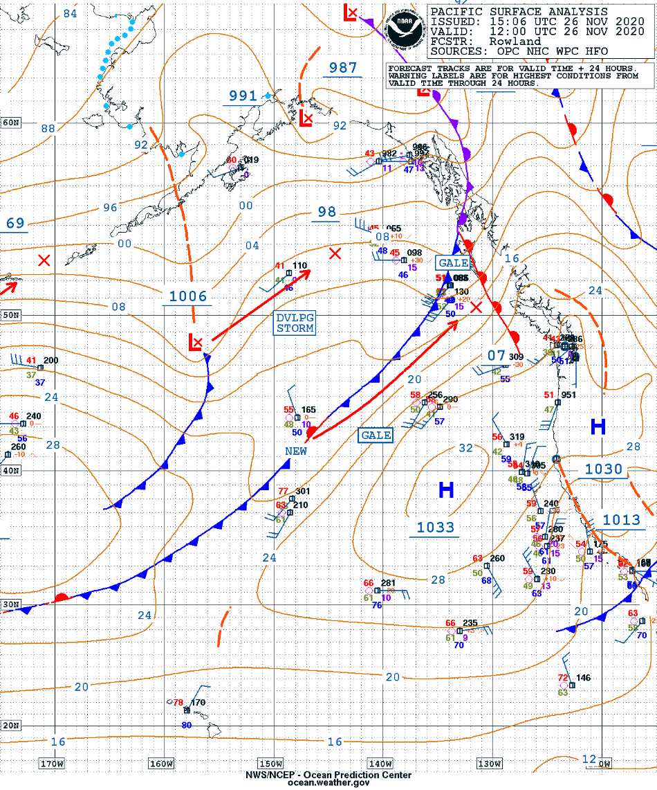
Low pressure over the Gulf of Alaska

GOES-17 “Red” Visible (0.64 µm), Mid-level Water Vapor (6.9 µm) and Air Mass RGB images [click to play animation | MP4]
A toggle between Suomi NPP VIIRS Visible (0.64 µm) and Infrared Window (11.45 µm) images (below) showed the storm at 2228 UTC.
![Suomi NPP VIIRS Visible (0.64 µm) and Infrared Window (11.45 µm) images [click to enlarge]](https://cimss.ssec.wisc.edu/satellite-blog/images/2020/11/201126_2228utc_suomiNPP_viirs_visible_infrared_Gulf_of_Alaska_anim.gif)
Suomi NPP VIIRS Visible (0.64 µm) and Infrared Window (11.45 µm) images [click to enlarge]