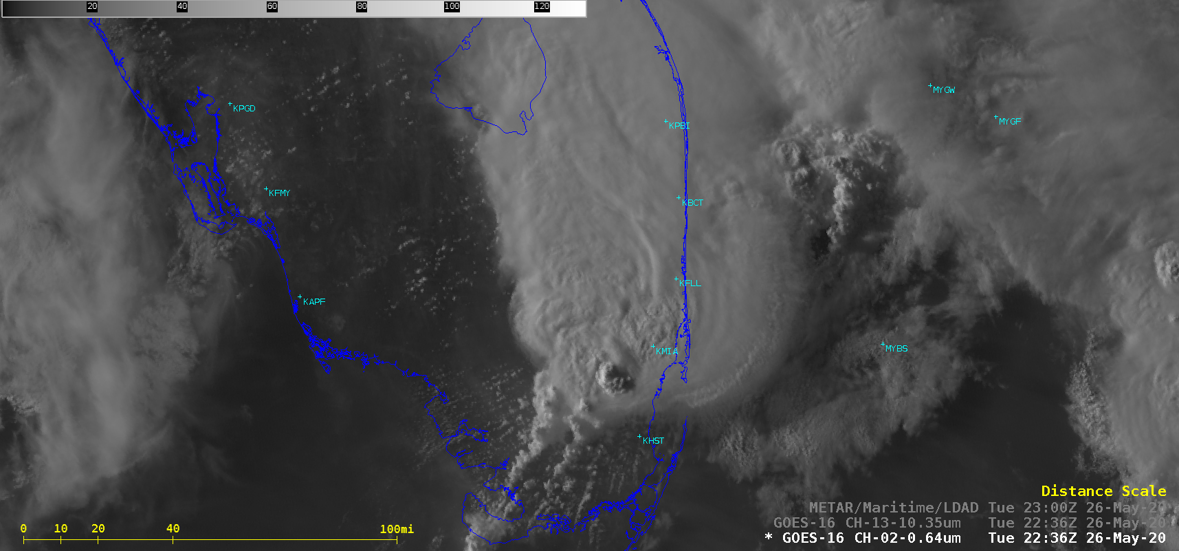
Heavy rainfall and flash flooding in South Florida

GOES-16 “Red” Visible (0.64 µm) and “Clean” Infrared Window (10.35 µm) images [click to play animation | MP4]
The GOES-16 Total Precipitable Water product (below) revealed clear-sky TPW values as high as 2.2 inches (lighter shades of magenta).
![GOES-16 Total Precipitable Water product [click to play animation | MP4]](https://cimss.ssec.wisc.edu/satellite-blog/images/2020/05/mia_tpw-20200526_192612.png)
GOES-16 Total Precipitable Water product [click to play animation | MP4]
AMAZING #Miami rainfall!
6.61″ in just over the past 2 hours
7.22″ so far today = 3rd wettest May calendar day
18.70″ so far in May = WETTEST May on record since 1896.
And the training continues across Miami-Dade County. Flash Flood Warning until 9:30 PM. pic.twitter.com/PjTv0V5u1U— Mike Seidel (@mikeseidel) May 26, 2020


![MIMIC Total Precipitable Water product [click to enlarge]](https://cimss.ssec.wisc.edu/satellite-blog/images/2020/05/200526_mimicTPW_anim.gif)