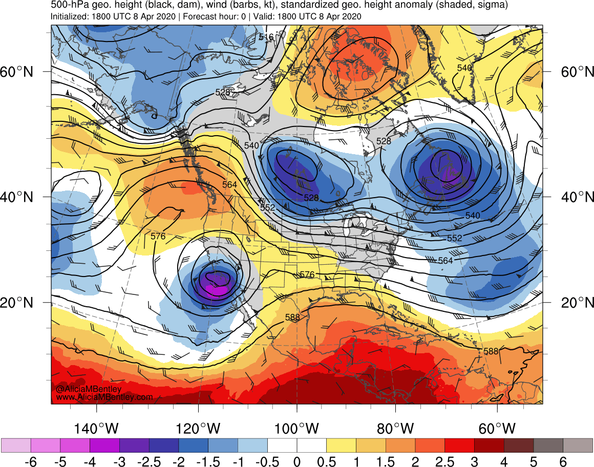
Cutoff low off the Southern California coast
![GOES-17 Mid-level Water Vapor (6.9 µm) images [click to play animation | MP4]](https://cimss.ssec.wisc.edu/satellite-blog/images/2020/04/200408_goes17_waterVapor_Southwest_US_anim.gif)
GOES-17 Mid-level Water Vapor (6.9 µm) images [click to play animation | MP4]
Overlapping 1-minute Mesoscale Domain Sectors provided GOES-17 “Red” Visible (0.64 µm) images at 30-second intervals (below) — which revealed the southeastward propagation of a compact circulation of clouds west of San Nicholas Island.

GOES-17 “Red” Visible (0.64 µm) images [click to play animation | MP4]