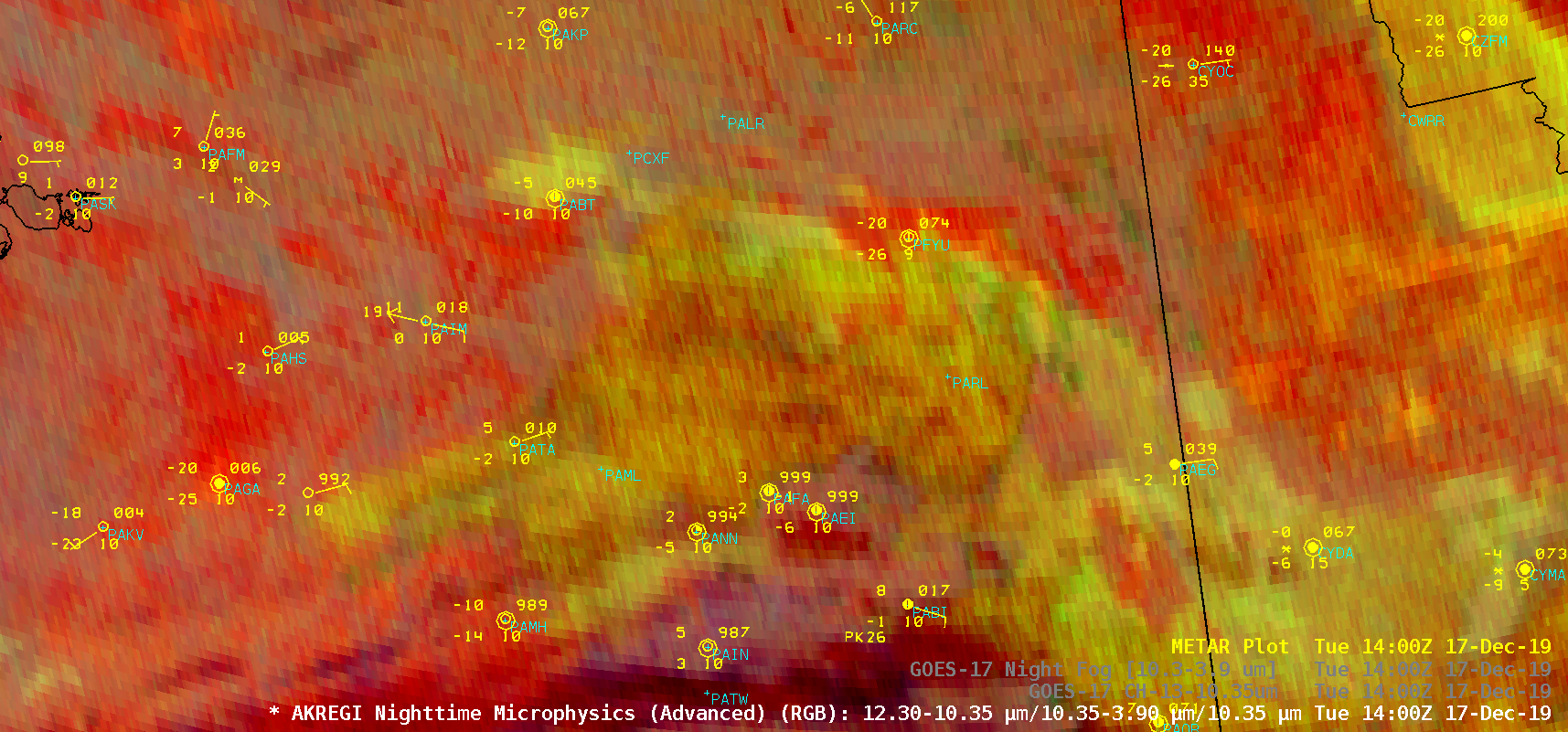
Stratus clouds affecting surface temperatures in Alaska

GOES-17 Nighttime Microphysics RGB and “Clean” Infrared Window (10.35 µm) images [click to play animation | MP4]
Plots of surface data from Bettles (PABT) and Fort Yukon (PFYU) (below) showed that the stratus cloud deck — with bases in the 6,000-10,000 feet range — had an impact on surface air temperature trends, with warming occurring as radiational cooling was slowed and/or reversed as the clouds moved overhead. Temperatures continued to rise at Bettles as the cloud coverage remained broken to overcast, while the temperature briefly dropped again at Fort Yukon as the cloud coverage thinned to scattered.


![Plot of surface data from Bettles, Alaska [click to enlarge]](https://cimss.ssec.wisc.edu/satellite-blog/images/2019/12/191217_PABT_SFCMG.GIF)
![Plot of surface data from Fort Yukon, Alaska [click to enlarge]](https://cimss.ssec.wisc.edu/satellite-blog/images/2019/12/191217_PFYU_SFCMG.GIF)