Snowfall across northern Alaska
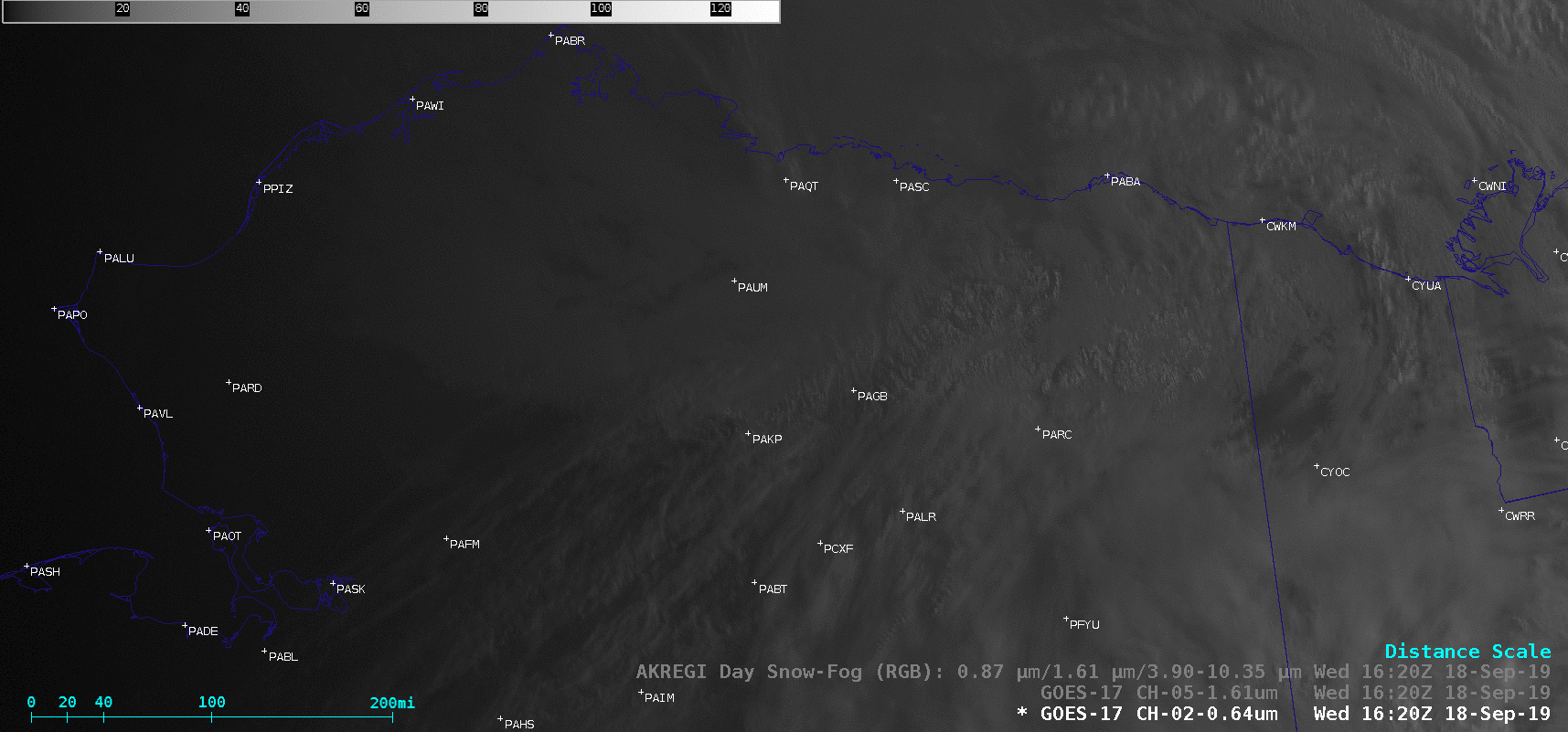
GOES-17 “Red” Visible (0.64 µm), Near-Infrared “Snow/Ice” (1.61 µm), Day Snow-Fog RGB and Day Cloud Phase Distinction RGB images [click to play animation | MP4]
Snow cover appeared brighter white in the Visible images, and darker shades of gray in the Snow/Ice images; in the RGB images, snow was darker shades of red in the Day Snow-Fog, vs brighter shades of green in the Day Cloud Phase Distinction. Note that the Day Cloud Phase Distinction RGB provided sharper images than the Day Snow-Fog RGB (below), since the former makes use of higher spatial resolution 0.64 µm data for its Green component.
![GOES-17 Day Cloud Phase Distinction RGB and Day Sow-Fog RGB images at 2030 UTC [click to enlarge]](https://cimss.ssec.wisc.edu/satellite-blog/wp-content/uploads/sites/5/2019/09/190918_2030utc_dayCloudPhaseDistinctionRGB_daySnowFogRGB_AK_anim.gif)
GOES-17 Day Cloud Phase Distinction RGB and Day Sow-Fog RGB images at 2030 UTC [click to enlarge]
![Time series of surface data from Bettles, Alaska on 17 September [click to enlarge]](https://cimss.ssec.wisc.edu/satellite-blog/wp-content/uploads/sites/5/2019/09/190917_PABT_SFCMG.GIF)
Time series of surface observation data from Bettles, Alaska on 17 September [click to enlarge]
Here are a few snow totals from the Brooks Range area. Did you get snow where you are? Comment below how much you received and where and we will add it to the list! pic.twitter.com/2Z5VN8mt6g
— NWS Fairbanks (@NWSFairbanks) September 18, 2019