GOES-14 sounder Derived Product Imagery
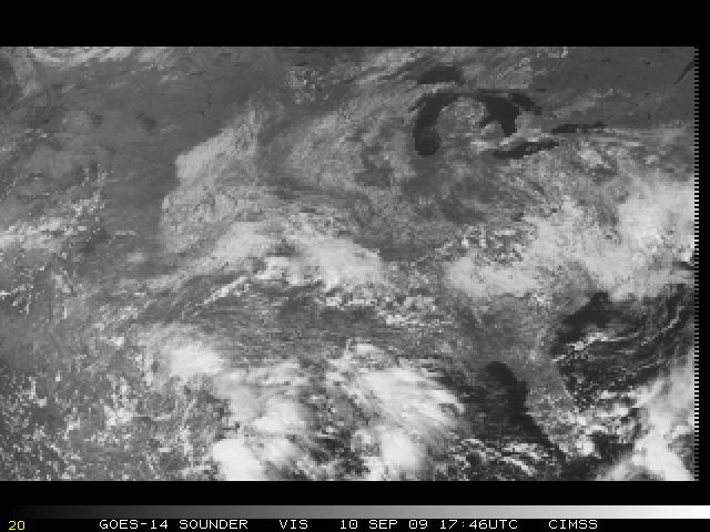
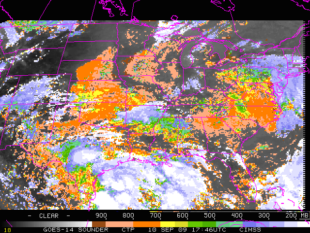
GOES-14 (launched on 27 June 2009) is currently undergoing its Post Launch Test during the Summer and Fall of 2009. A GOES-14 sounder visible image (above) displayed a variety of cloud systems across the eastern US at 17:46 UTC on 10 September 2009. A preliminary version of the GOES-14 sounder Cloud Top Pressure derived product (below) indicated a wide range of cloud tops, from clusters of high (cold) clouds over the Gulf Coast region (blue to white color enhancement), to patches of low (warm) clouds over areas such as eastern Virginia/North Carolina and central Nebraska (orange to peach color enhancement).
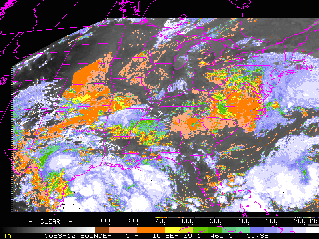
Qualitatively, the GOES-14 sounder Cloud Top Pressure values (above) agreed well with those derived using GOES-12 sounder data (below). Note that both images are displayed using their respective native satellite projections.
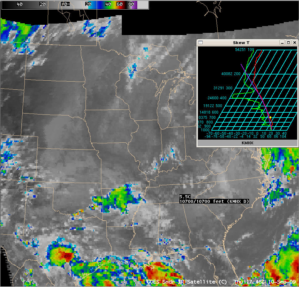
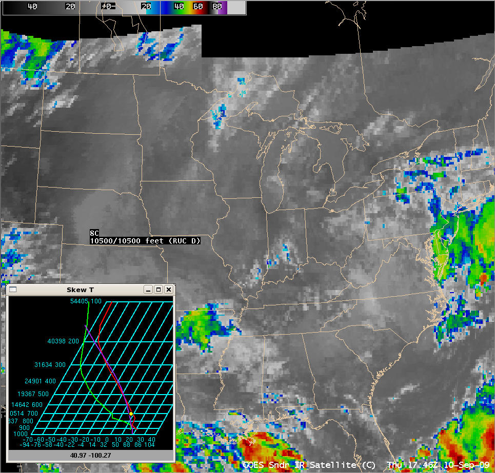
Focusing on the aforementioned low cloud top features seen over eastern Virginia/North Carolina and over central Nebraska, both the GOES-12 and the GOES-14 Cloud Top Pressure (CTP) derived products indicated that those cloud tops were generally in the 700-800 mb range (orange color enhancement). Using the AWIPS cursor “Skew-T cloud height sampling” functionality, there was good agreement with the sounder CTP values: both the Moorhead City NC rawinsonde and the RUC model sounding over central Nebraska suggested that the GOES sounder IR brightness temperatures over those locations existed near the 700 mb pressure level (below).


