Ship tracks in the East Pacific, and eddy circulations near the California coast
![GOES-17 "Red" Visible (0.64 µm) and Shortwave Infrared (3.9 µm) images [click to play animation | MP4]](https://cimss.ssec.wisc.edu/satellite-blog/wp-content/uploads/sites/5/2019/04/190424_goes17_visible_shortwaveInfrared_East_Pacific_ship_tracks_anim.gif)
GOES-17 “Red” Visible (0.64 µm) and Shortwave Infrared (3.9 µm) images [click to play animation | MP4]
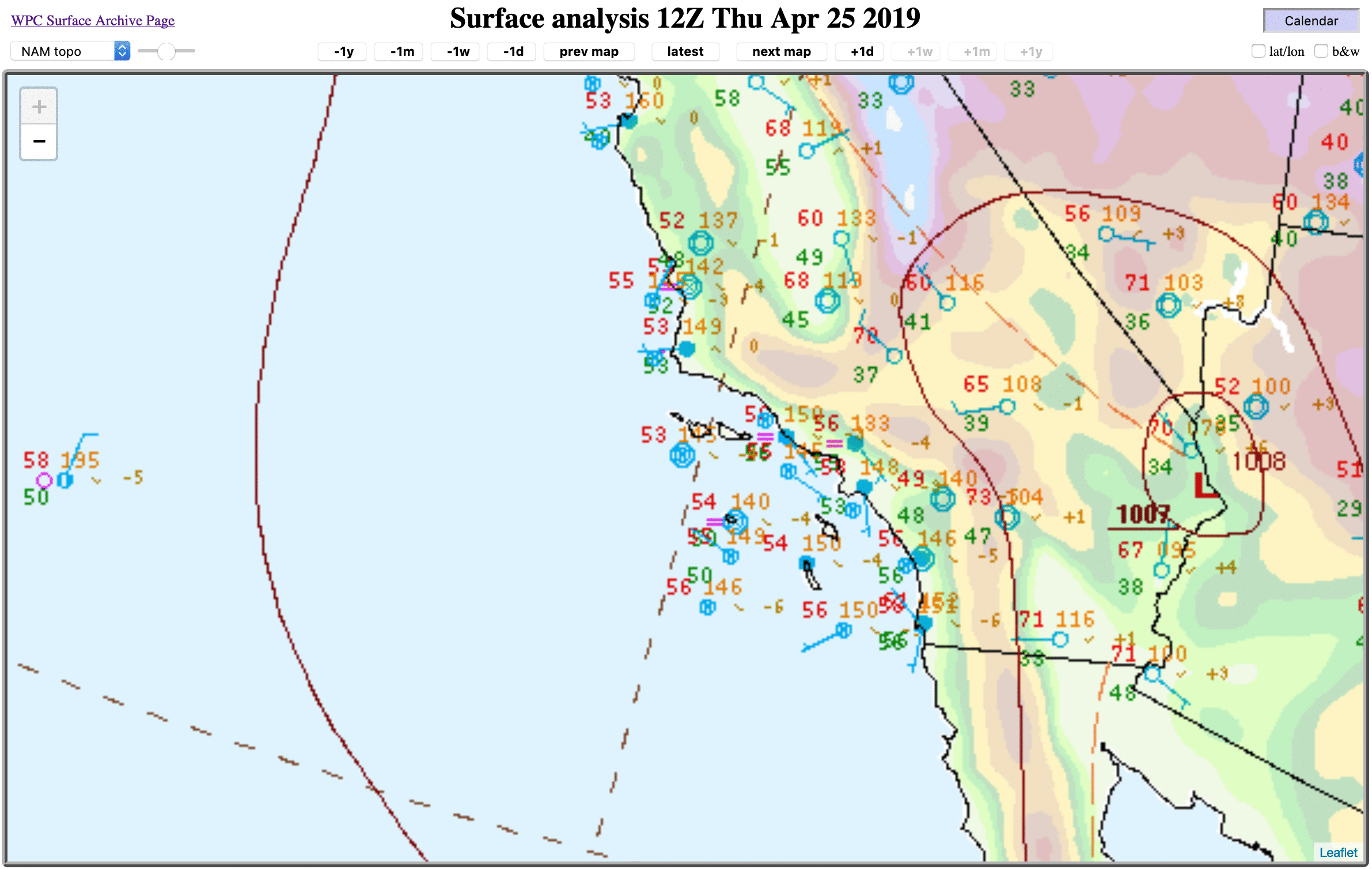
GOES-17 Visible images (below) revealed a few eddy circulations within the marine boundary layer stratocumulus off the coast of southern California, along with other interesting Channel Island cloud interactions — some of the eddy circulations exhibited a small cloud-free center. Surface winds were light and variable over the Channel Islands (surface analyses), with a thermal low situated well inland over the Desert Southwest (the national high temperature on 24 April was 106ºF at Death Valley, California).

GOES-17 “Red” Visible (0.64 µm) images [click to play animation | MP4]