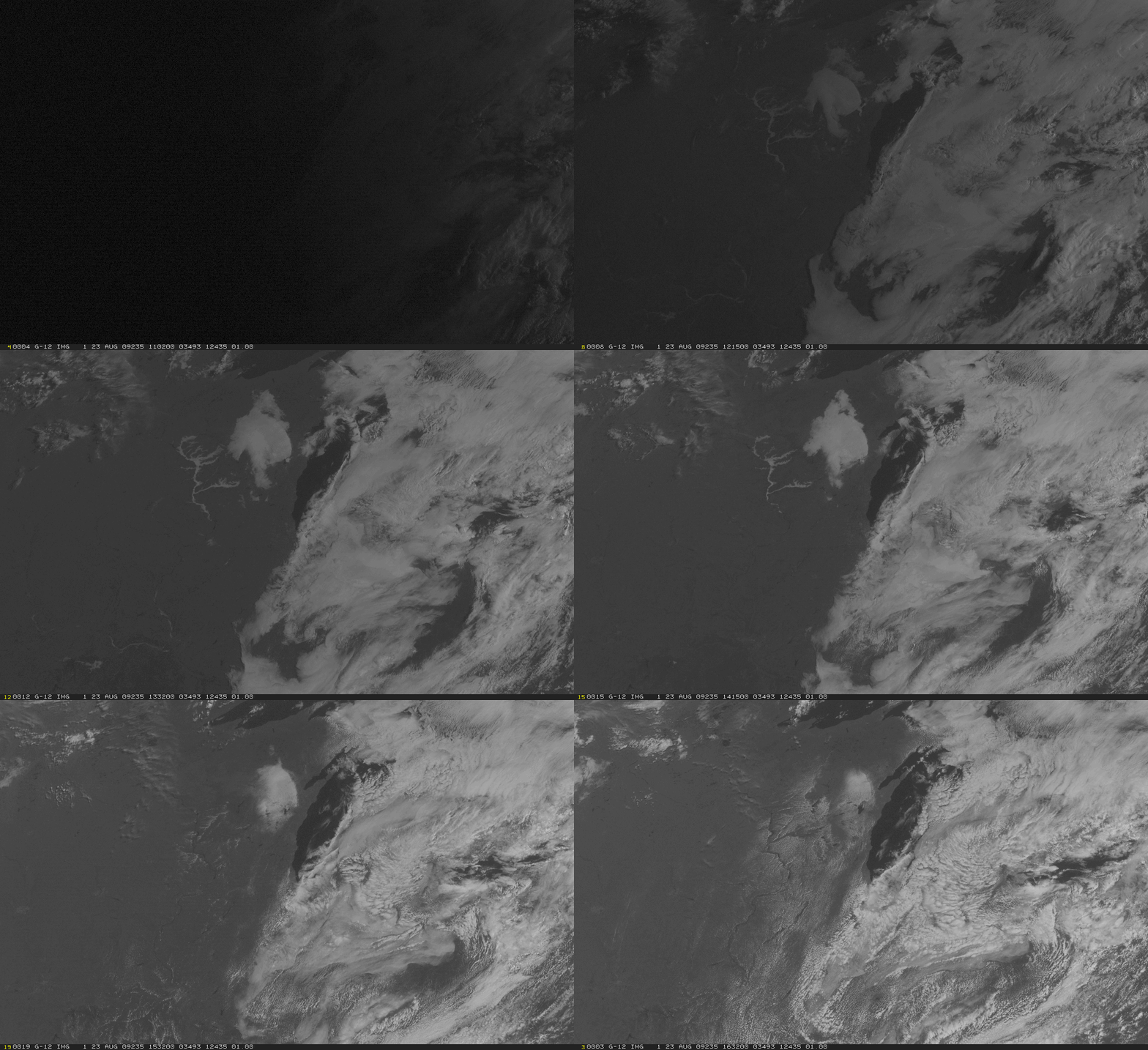
Lake-effect Showers in August
Unseasonably cool air over the Midwest combined with warm late-Summer lake surface temperatures to sustain a line of lake-effect showers that came ashore over southern Lake Michigan on Sunday Morning. A very sharp-edged narrow cloud feature extended north-northeastward from southern Lake Michigan towards northwestern lower Michigan. Lake surface temperatures temperatures in this region, as observed by MODIS, were in the 60s. At the same time, very cool temperatures prevailed in the lower troposphere (see the plotted sounding from Gaylord, MI, from 1200 UTC 23 August here showing temperatures near 5 C at 850 hPa). The resultant temperature difference of about 13 C over the lowest 1-2 kilometers of the atmosphere helped sustain showers as shown on the Chicago (LOT) radar here. Peak dbZ values in this loop were around 24. Expect the lake-effect cloudiness to become more common in the coming months as cooler and cooler airmasses move over the relatively warm Great Lakes.
Note also the widespread valley fog over the Wisconsin River in southwestern Wisconsin and the upper Mississippi River at the beginning of the satellite imagery loop. Daytime heating is suppressed over the river valleys because energy is lost to evaporating cloud droplets, and the environment closest to the River therefore is cooler than surroundings later in the loop. For that reason, cumulus development over the rivers is delayed, and the river valleys are clear later in the loop.
Added: This case was also mentioned in Tom Skilling’s WGN Weather Center blog.


