Severe Aircraft Turbulence in the tropical Atlantic
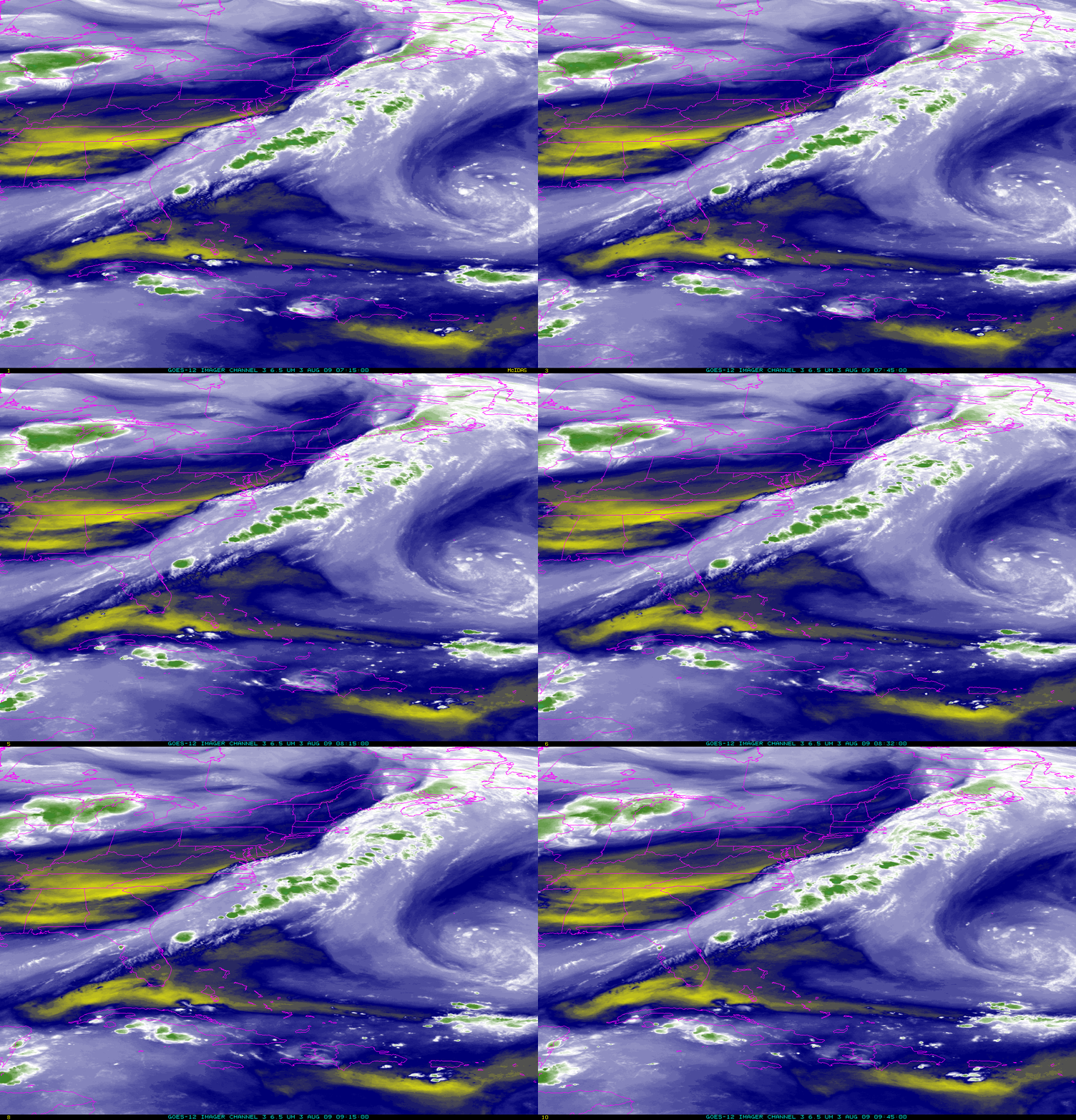
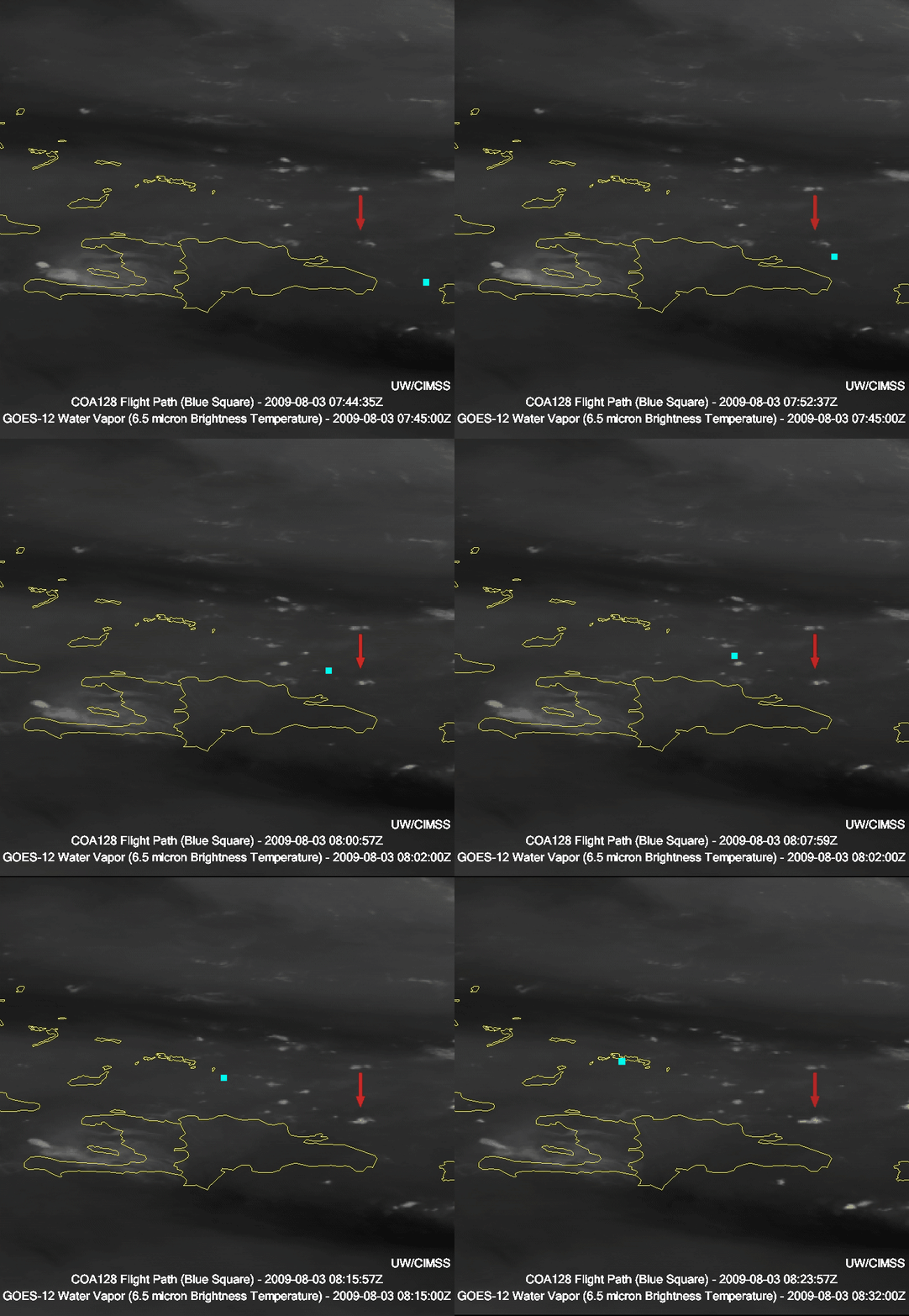
Continental Flight 128, en route from Rio de Janiero to Houston on 3 August, encountered severe turbulence over the Atlantic Ocean just north of Hispaniola, according to AP Press reports. Other press reports suggest the turbulence occurred southeast of Puerto Rico (see this one from Bloomberg, for example), but flight tracking software available online shows a flight path that changed north of Hispaniola, presumably in response to the turbulence encountered. The aircraft landed in Miami at 5:30 EDT, or 0930 UTC; according to press reports, the turbulence was encountered an hour before that, or around 0830 UTC. [UPDATE: on-board flight logs (courtesy of John Williams at RAP at NCAR) suggest the flight path change, presumably right after the encounter with turbulence, occurred around 0800 UTC; that data has been superimposed on GOES-12 Imager water vapor (shown above) and window channel imagery (linked below)] What was happening in the satellite imagery at the time?
MIMIC Total Precipitable water shows that the region of turbulence was moistening with time as a tropical wave approached from the east. However, GOES-12 satellite data show only modest convection in the region. For example, the 6.7 micron water vapor imagery from 08:02 UTC shows only scattered convection, although the presence of developing deep convection very near the location of the turbulence to the north of Hispaniola suggests a strong correlation. A loop of the water vapor imagery certainly suggests the presence of a leading edge to the convective development, which leading edge is very close to the region of severe turbulence. Perhaps the two are related, but at first glance this case demonstrates the challenges inherent in predicting damaging turbulence.
(Update on 10 August: two McIDAS-V image loops, courtesy of Joleen Feltz at CIMSS, show the flight position plotted on Water Vapor (6.5 micron) imagery and window channel (10.7 micrometers) imagery derived from GOES-12 Imager data, clearly showing the flight deviation just as the plane flies over deepening new convection just to the north of Hispaniola.)
Cloud-top cooling (below) estimated using the UW/CIMSS Convective Initiation algorithm indicate cooling of 13 K in 15 minutes. Assuming a moist adiabatic atmosphere with a lapse rate of 6.5 K/km, this is vertical growth of 2 km in 15 minutes, equivalent to upward motion exceeding 200 cm per second. The flight data (the dashed line in the figure below) suggest that the airplane flew very close to this developing cumulus tower.


