Subtropical cyclone formation off the coast of Chile
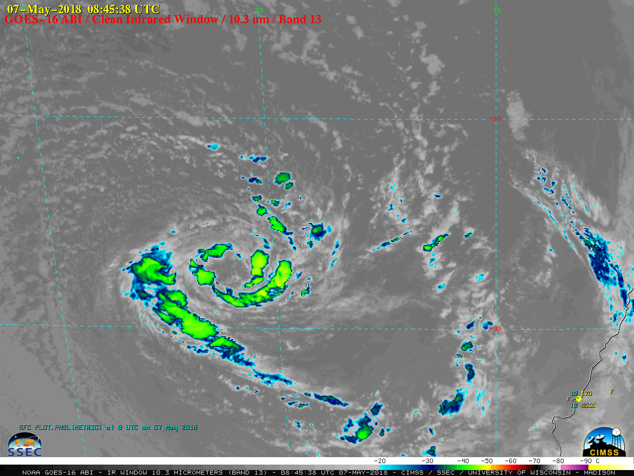
GOES-16 “Clean” Infrared Window (10.3 µm) images, with hourly plots of surface weather [click to play MP4 animation]
A Suomi NPP VIIRS True-color Red-Green-Blue (RGB) image viewed using RealEarth (below) depicted the circulation once it had drifted to a position northwest of Santiago, Chile at 1839 UTC on 08 May.
![Suomi NPP VIIRS Ttue-color RGB image [click to enlarge]](https://cimss.ssec.wisc.edu/satellite-blog/wp-content/uploads/sites/5/2018/05/180508_1839utc_suomi_npp_viirs_truecolor.jpeg)
Suomi NPP VIIRS Ttue-color RGB image [click to enlarge]
![MIMIC Total Precipitable Water product [click to play animation | MP4]](https://cimss.ssec.wisc.edu/satellite-blog/wp-content/uploads/sites/5/2018/05/180505_180509_mimic_tpw_Chile_STS_anim.gif)
MIMIC Total Precipitable Water product [click to play animation | MP4]