Wildfires in northeastern Oklahoma
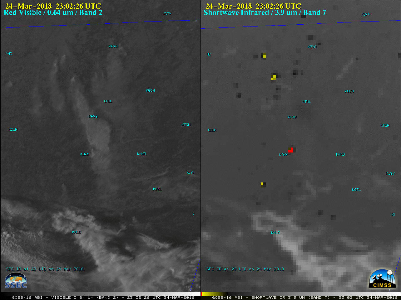
GOES-16 “Red” Visible (0.64 µm, left) and Shortwave Infrared (3.9 µm, right) images, with surface airport identifiers plotted in cyan [click to play MP4 animation)
A comparison of Terra/Aqua MODIS and Suomi NPP VIIRS Shortwave Infrared images (below) showed higher-resolution view of the fire hot spots.
![Terra/Aqua MODIS and Suomi NPP VIIRS Shortwave Infrared images with surface observations plotted in cyan [click to enlarge]](https://cimss.ssec.wisc.edu/satellite-blog/wp-content/uploads/sites/5/2018/03/180324_modis_viirs_OK_fires_anim.gif)
Terra/Aqua MODIS and Suomi NPP VIIRS Shortwave Infrared images with surface observations plotted in cyan [click to enlarge]