GOES-16 GLM data now available in RealEarth™
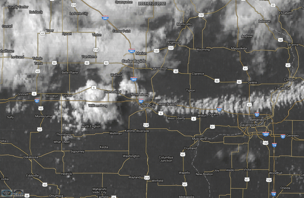
![GOES-16 Infrared Window (103 µm) images, with GLM Group data points plotted as white dots [click to play animation]](https://cimss.ssec.wisc.edu/satellite-blog/wp-content/uploads/sites/5/2017/07/170721_2030_2200_goes16_mesoscale_infrared_glm_Iowa_City_IA_anim.gif)
GOES-16 Infrared Window (10.3 µm) images, with GLM Group data points plotted as white dots [click to play animation]
Real-time GOES-16 Geostationary Lightning Mapper (GLM) data are now available for viewing using RealEarth™ (real-time GLM link). An example from 21 July 2017 is shown above, for an isolated thunderstorm that developed during the afternoon hours along a residual convective outflow boundary — which was evident on an animation of “Red” Visible (0.64 µm) imagery — draped across eastern Iowa. This storm produced 1.0-inch diameter hail and damaging winds within 7-22 minutes after the 2200 UTC end of the animation (SPC storm reports). Both the GOES-16 “Clean” Infrared Window (10.3 µm) images and the GLM Group (GLM Events clustered by proximity; see this blog post) data points were available at 1-minute intervals, since the region was within the domain of one of the Mesoscale Sectors.
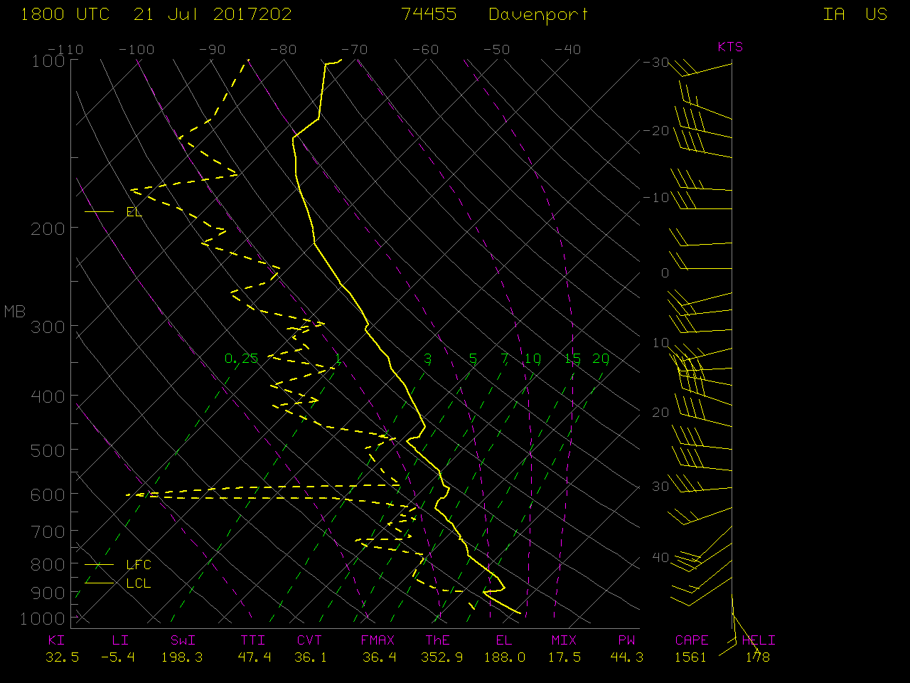
Note that during the early portion of the animation, a number of GLM Group points were located south of the rapidly-expanding cold cloud top shield — GLM data are parallax-corrected, assuming a cloud-top height of 12.5 km. The 18 UTC tropopause height was 15.0 km on the 18 UTC sounding at Davenport, Iowa.