Hurricane Iselle weakens to a Tropical Storm as it nears Hawai’i
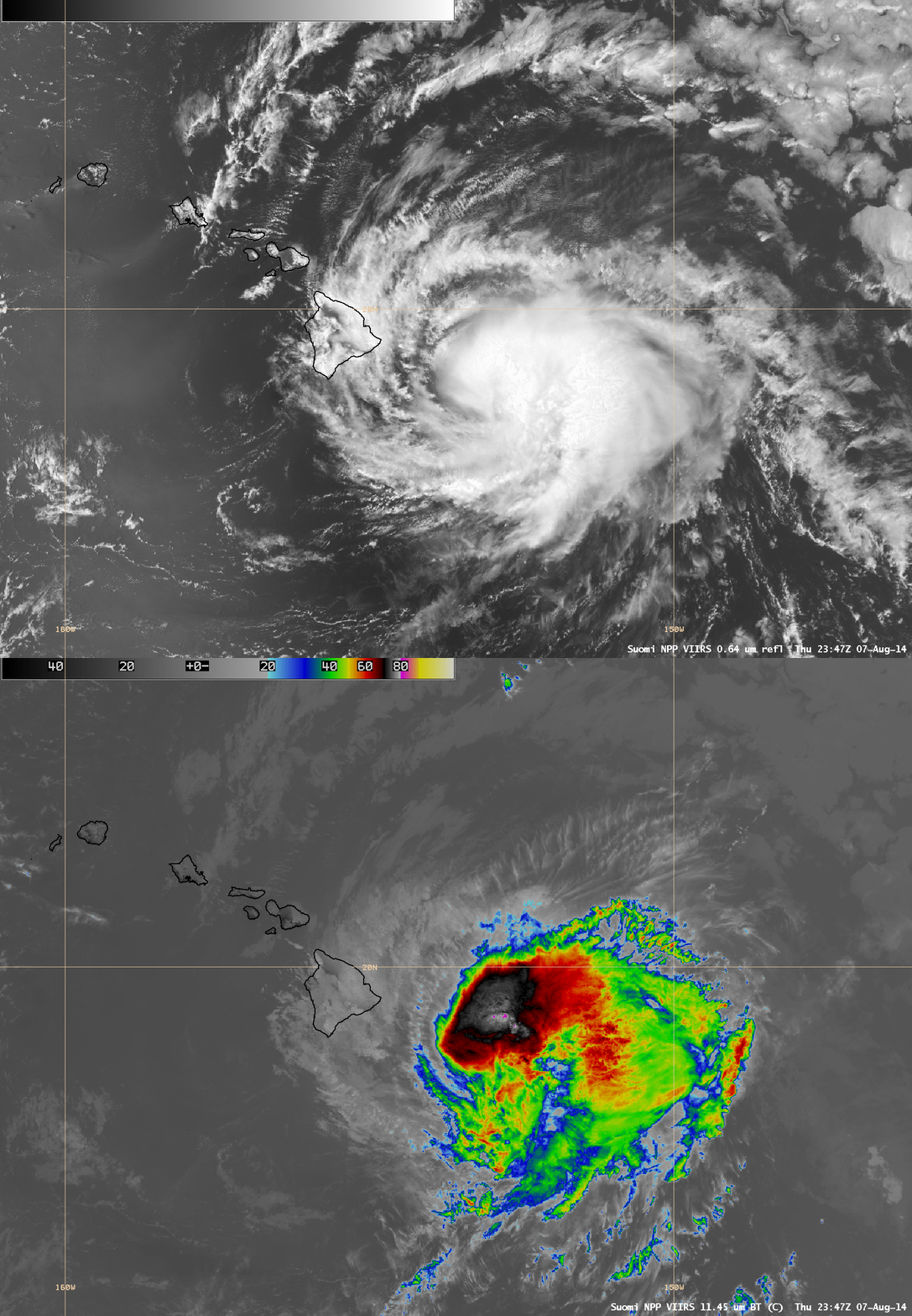
Suomi NPP VIIRS 0.64 µm visible channel and 11.45 µm IR channel images at 23:47 UTC on 07 August 2014 (above) showed Category 1 Hurricane Iselle just east of Hawai’i, exhibiting a convective burst within the northern semicircle and cloud-top IR brightness temperatures as cold as -82º C. With the approach of Iselle, the Central Pacific Hurricane Center issued its first Hurricane Warning for a portion of Hawai’i since 1993.
An animation of GOES-15 0.63 µm visible channel images during daylight and 10.7 µm IR images at night (below; click to play animation; also available as an MP4 movie file) revealed a deteriorating satellite signature as the hurricane approached the Big Island of Hawai’i — and Iselle was downgraded to a Tropical Storm around 08 UTC on 08 August. However, abundant moisture and orographic effects led to some locations receiving over 10 inches of rainfall in a 24-hour period. In fact, one final convective burst could be seen developing after about 11:00 UTC, moving over the southeastern portion of the Big Island after about 12:45 UTC.
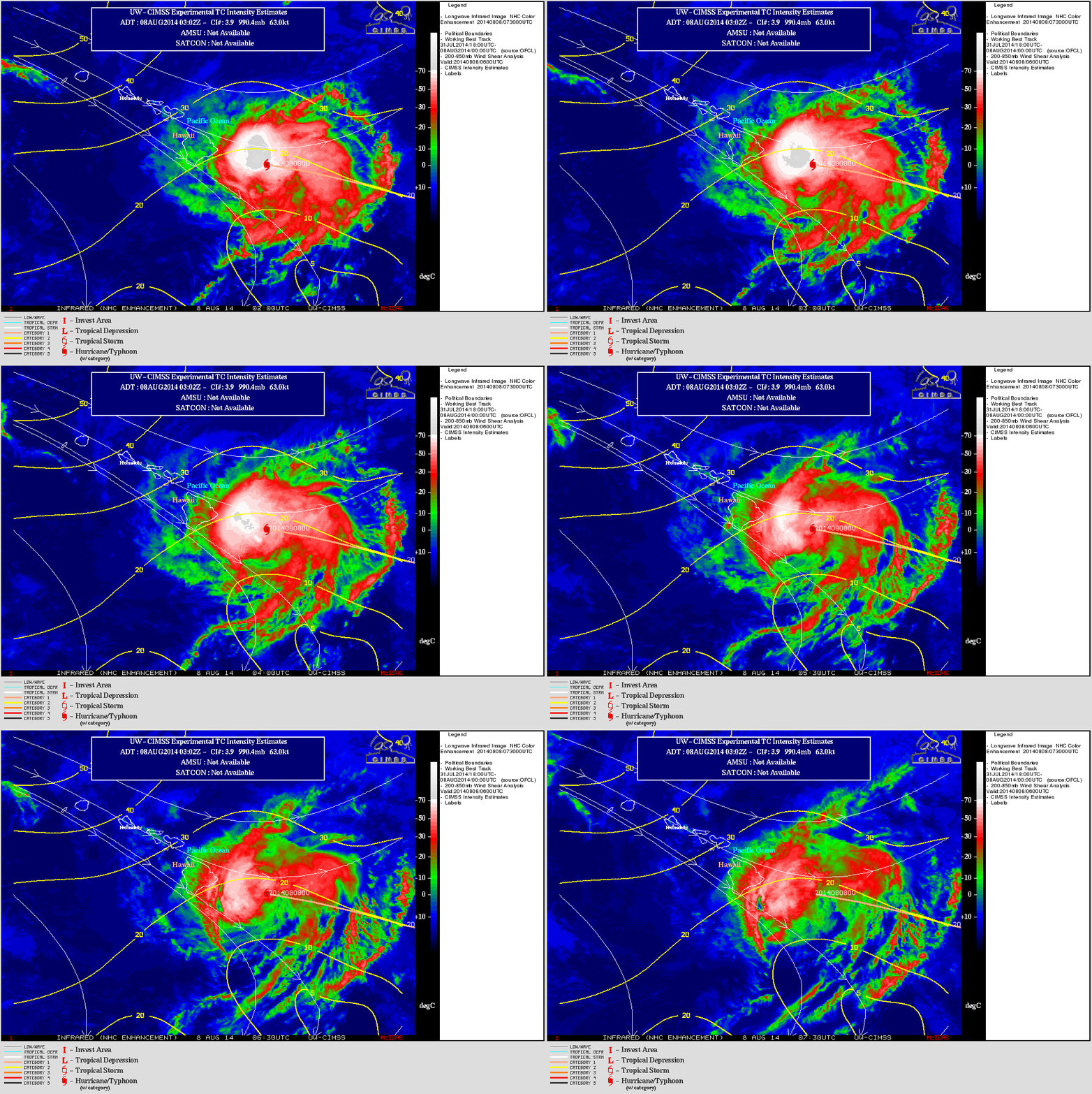
The period of deteriorating satellite signature and weakening intensification were due to the storm encountering increasing deep layer wind shear (below).


