Thunderstorms producing very large hail near Paris, France
Severe thunderstorms developed over parts of France on 09 June 2014, some of which produced very large hail (photos). EUMETSAT Meteosat-10 1-km resolution 0.7 µm visible channel images (above; click image to play animation; also available as an MP4 movie file) and 3-km resolution 10.8 µm IR channel images (below; click image to play animation; also available as an MP4 movie file) revealed some interesting details in the thunderstorm structure: a narrow flanking line was seen on the visible imagery, and the storms exhibited well-defined “enhanced-V” signatures and thermal couplets on the IR imagery. For reference, the asterisk marks the location of the Charles De Gaulle Airport in Paris.
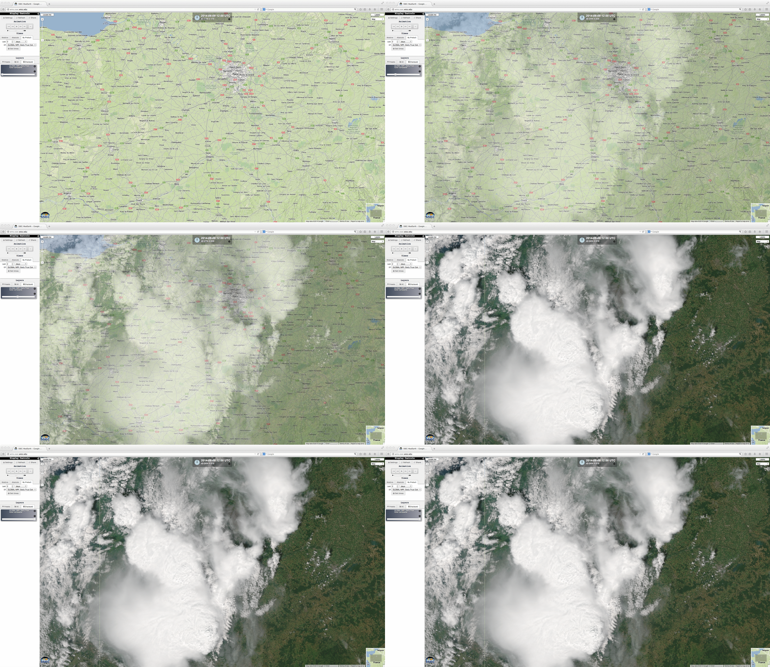
The Suomi NPP satellite overpass of the region occurred around 12:15 UTC, allowing the VIIRS instrument to provide a 375-meter resolution true-color Red/Green/Blue (RGB) image of the developing thunderstorms (below, visualized using the SSEC RealEarth web map server).


