Blowing dust in Nebraska, Kansas, and Colorado
McIDAS images of 1-km resolution GOES-13 (GOES-East) 0.63 µm visible channel data (above; click image to play animation) showed the development of widespread plumes of blowing dust across parts of southwestern Nebraska, northwestern Kansas, and eastern Colorado on 16 January 2014. Strong northerly to northwesterly winds in the wake of a morning cold frontal passage were gusting over 40 knots across the entire region, with a peak wind gust of 64 knots in Broken Bow, Nebraska. These strong winds easily lofted the dry soils (the area was experiencing extreme drought conditions), which reduced surface visibilities and caused multiple vehicle accidents in Colorado and Kansas.
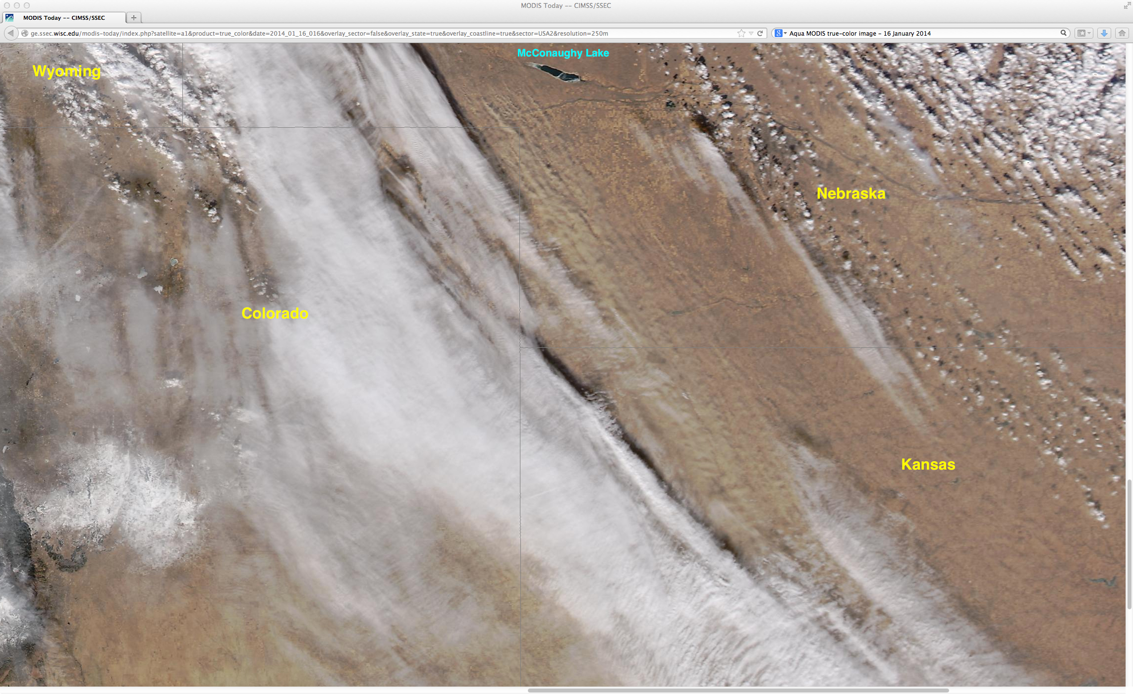
A closer view of the blowing dust using a 250-meter resolution Aqua MODIS true-color Red/Green/Blue (RGB) image from the SSEC MODIS Today site (below) clearly showed the source region of many of the dust plumes in southwestern Nebraska. The blowing dust plumes in eastern Colorado are not easily seen, due to patchy middle and high level clouds drifting over the region at that time.
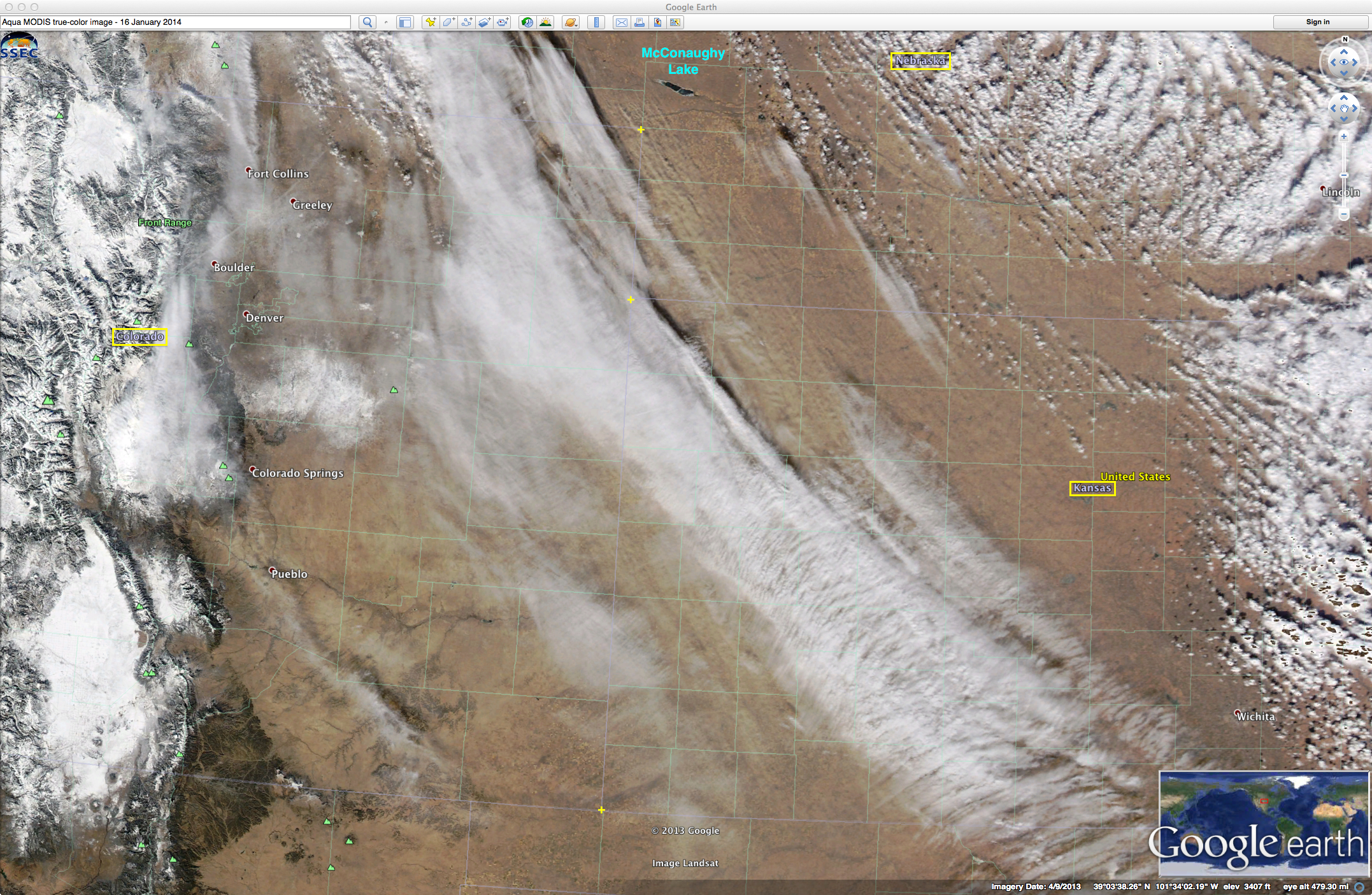
A larger-scale view of the MODIS true-color image can be seen below, visualized using Google Earth.
For additional information and imagery of this blowing dust event, see the RAMMB GOES-R Proving Ground blog.


