Snow, sleet and freezing rain across parts of Texas, Louisiana, and Mississippi
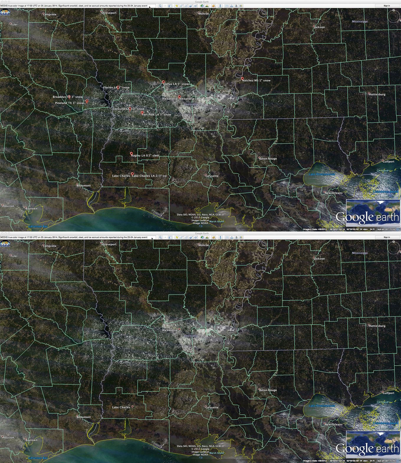
A relatively rare winter storm produced snowfall, sleet, and freezing rain (storm reports) across parts of far eastern Texas, central Louisiana, and southwestern Mississippi during the 23 January – 24 January 2014 time period. Numerous traffic accidents resulted from the ice-covered roads, with a few fatalities reported. A day after the event, a Terra MODIS true-color Red/Green/Blue (RGB) image from the SSEC MODIS Today site at 17:03 UTC on 25 January (above) showed the remaining swath of snow on the ground (including locations of some of the more significant reports of snowfall, sleet accumulation, and ice accrual from freezing rain). Also note the bands of “lake-effect” clouds streaming eastward from Lake Pontchartrain north of New Orleans.
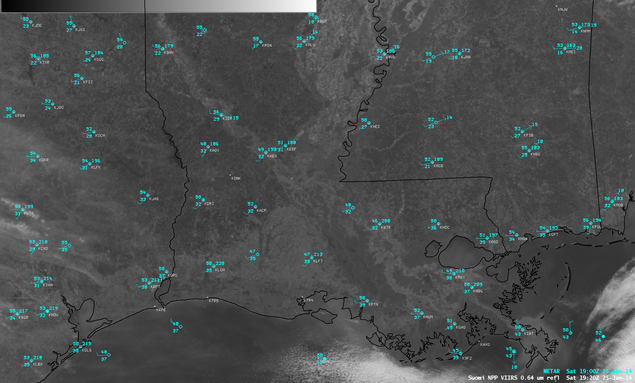
A little more than 2 hours after the MODIS image, there was no evidence of any snow cover seen on a Suomi NPP VIIRS 0.64 µm visible channel image at 19:20 UTC (above). In fact, GOES-13 0.63 µm visible channel images (below; click image to play animation) showed just how quickly the 1-2 inches of remaining snow cover melted away under full sun and daytime heating.


