Formation of an “Otter Eddy” in Monterey Bay, California
Strong northwesterly winds along the California coast interacted with the complex terrain and orientation of Monterey Bay to promote the formation of a cyclonic coastal eddy (known locally as an “Otter Eddy”) early in the day on 13 May 2013. McIDAS images of GOES-15 0.63 µm visible channel data (above; click image to play animation) showed the evolution of the eddy feature, which gradually dissipated by the early afternoon hours. “MRY” denotes the location of Monterey.
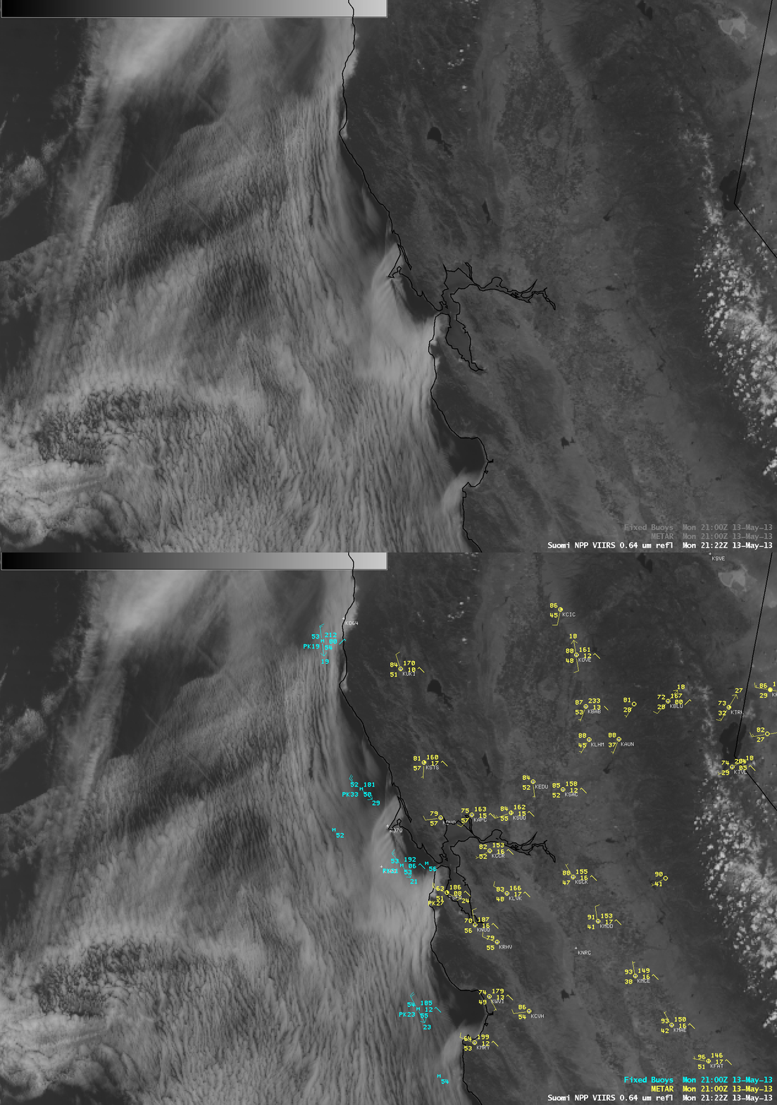
Farther to the north, an interesting type of “bow shock wave” formed downwind of Point Reyes (labelled “PR” on the images). Better detail of this feature could be seen in an AWIPS image of Suomi NPP VIIRS 0.64 µm visible channel data (below). At the time of this image, surface winds at the offshore buoy just to the north of Point Reyes were gusting to 33 knots (38 mph).


