Cyclone Evan in the Southwest Pacific Ocean
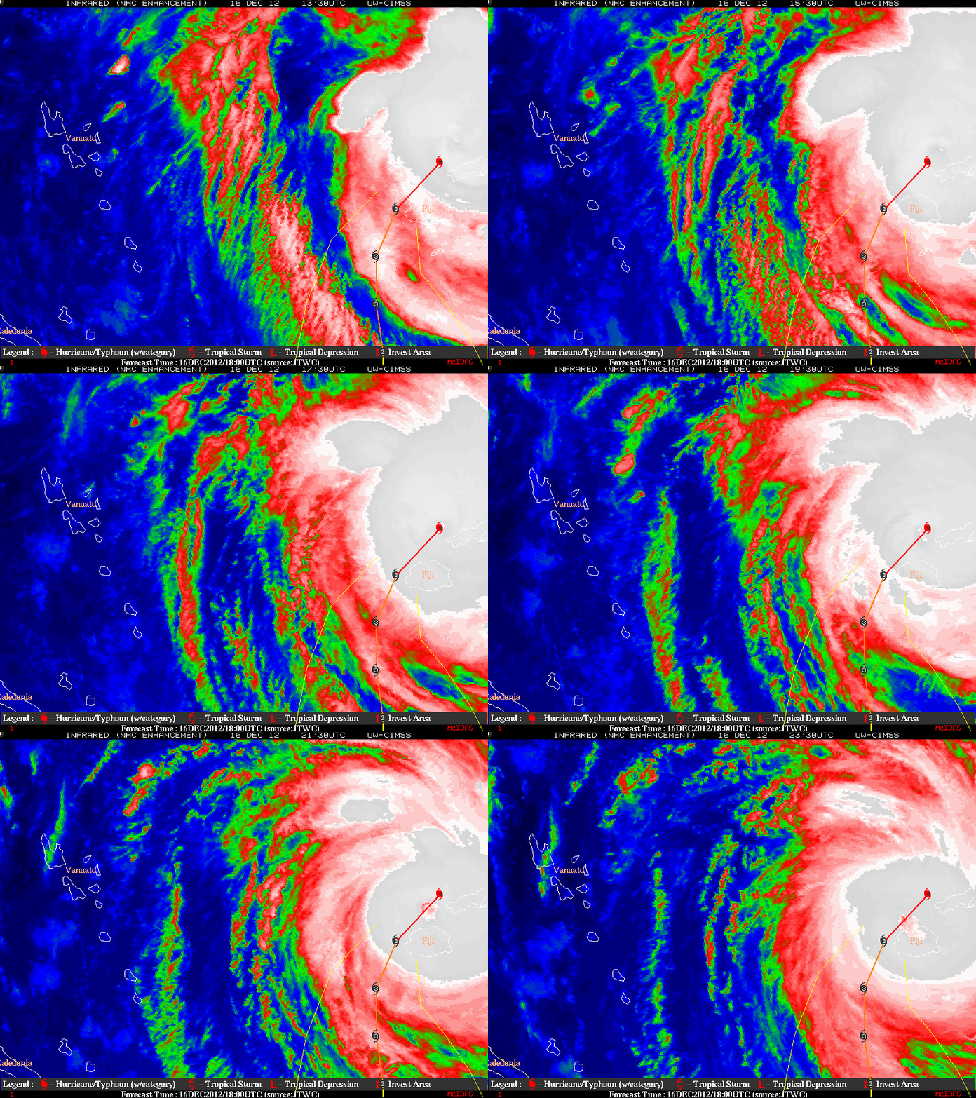
An animation of 4-km resolution MTSAT-1R 10.8 µm IR images from the CIMSS Tropical Cyclones site (above) showed Category 4 Cyclone Evan passing just to the northwest of the Fiji island of Vanue Levu on 16 December 2012.
A closer view using a McIDAS image of 375-meter resolution Suomi NPP VIIRS 11.45 µm IR channel data at 13:12 UTC (below) revealed a number of concentric cloud-top gravity waves that were likely propagating outward away from the center of the tropical cyclone. The minimum IR brightness temperature in the core of the large yellow-enhanced area northwest of the eye was -98º C.
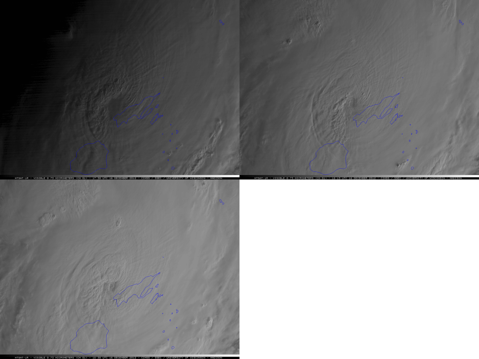
A subtle signature of these cloud-top gravity waves could also be seen on early-morning 1-km resolution MTSAT-1R 0.73 µm visible channel images (below).
===== 17 December Update =====
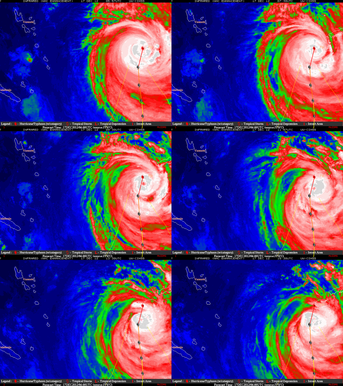
MTSAT-1R 10.8 µm IR images from 17 December (above) showed Cyclone Evan passing the western edge of the main isand of Fiji (Viti Levu), where it produced a wind gust to 90 knots (104 mph) at Nadi (station identifier NFFN).


