Subtropical Storm Laura
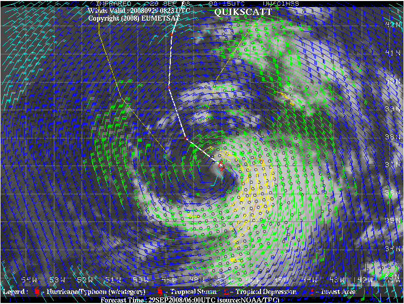
An image of the GOES-12 10.7 µm IR channel (with an overlay of QuikSCAT WindSat wind vectors) from the CIMSS Tropical Cyclones site (above) revealed that wind speeds were near 50 knots within a curved band of deep convection located just to the east of the center of Subtropical Storm Laura on 29 September 2008.
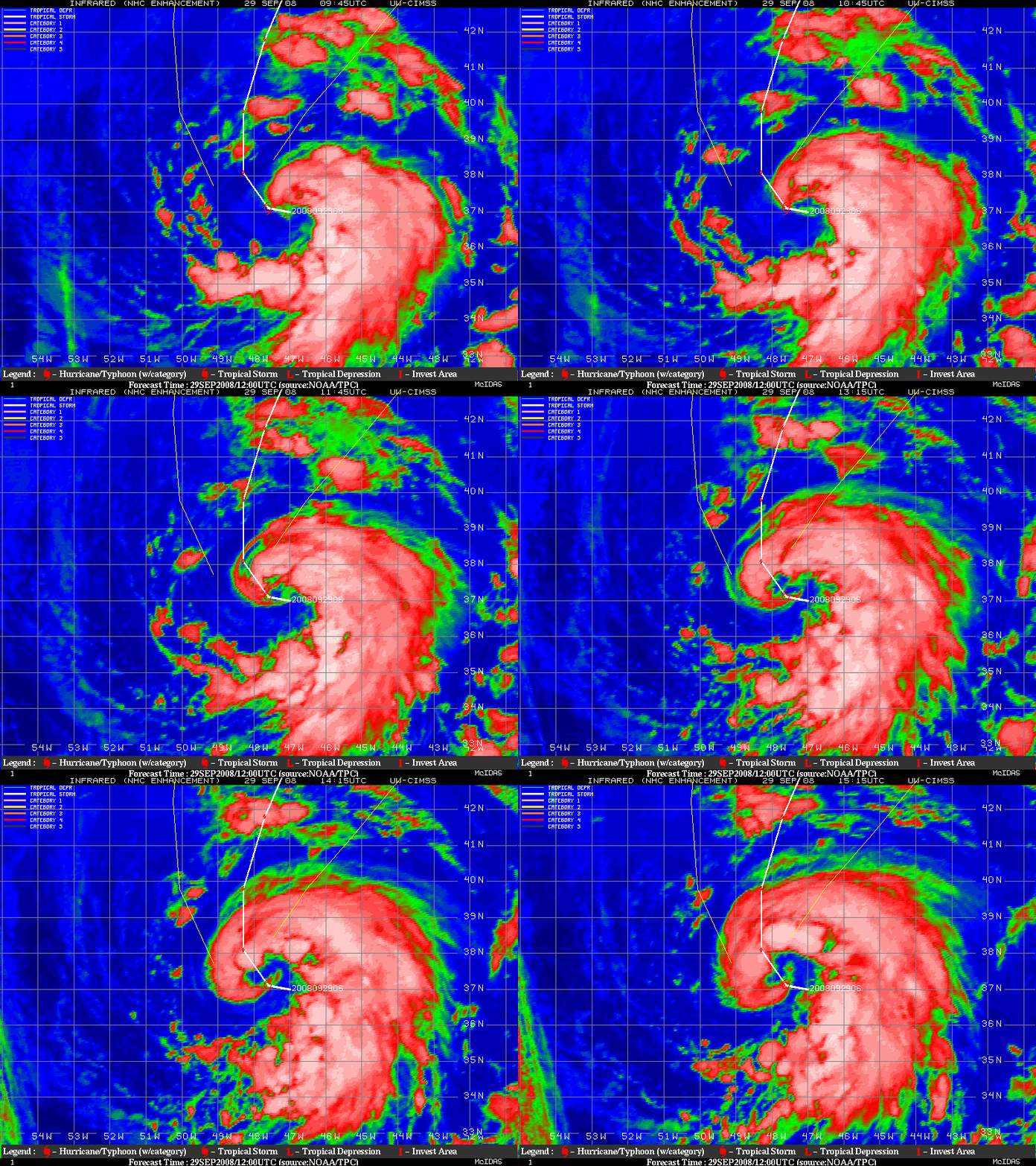
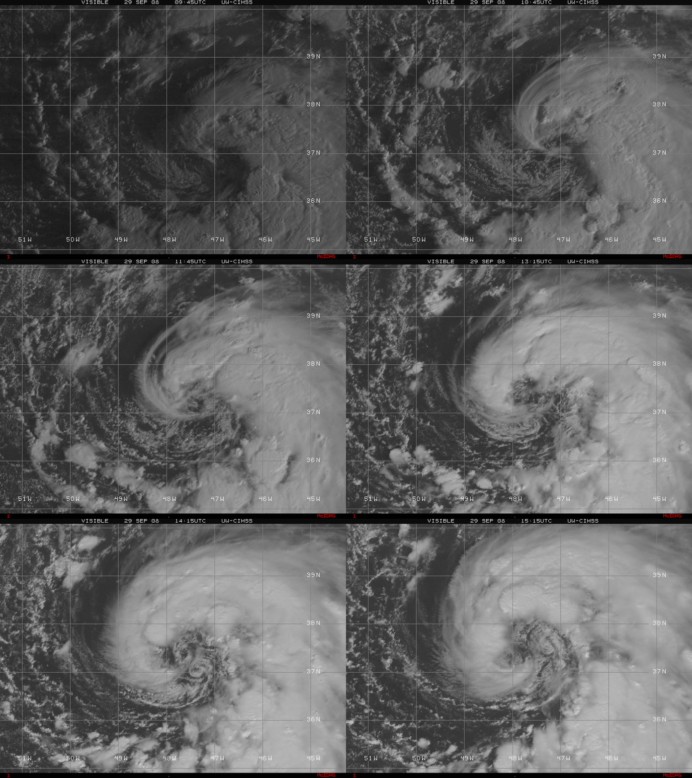
Animations of the GOES-12 10.7 µm IR channel and visible channel images (below) showed the curved band of deep convection developing further and wrapping around the northern and then the western quadrants of the storm during the hours that followed; small-scale swirls were also seen on the visible imagery, rotating around the low-level center of Laura.
Laura was eventually classified as a Tropical Storm on the following day (30 September).


