Tornado near Mt. Evans, Colorado
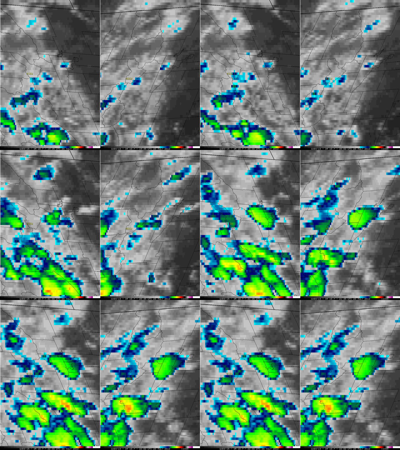
A tornado was observed and photographed near Mt. Evans in north-central Colorado around 2:51 PM local time or 20:51 UTC (Local Storm Report) on 28 July 2012. A comparison of McIDAS images of 4-km resolution GOES-15 (GOES-West) and GOES-13 (GOES-East) 10.7 µm IR channel data (above) showed that the thunderstorm which produced the tornado developed fairly rapidly just to the east of Copper Mountain (station identifier KCCU), but was relatively small in size and did not exhibit particularly cold cloud top IR brightness temperatures (-40º C at 20:45 UTC, and -52º C at 21:15 UTC).
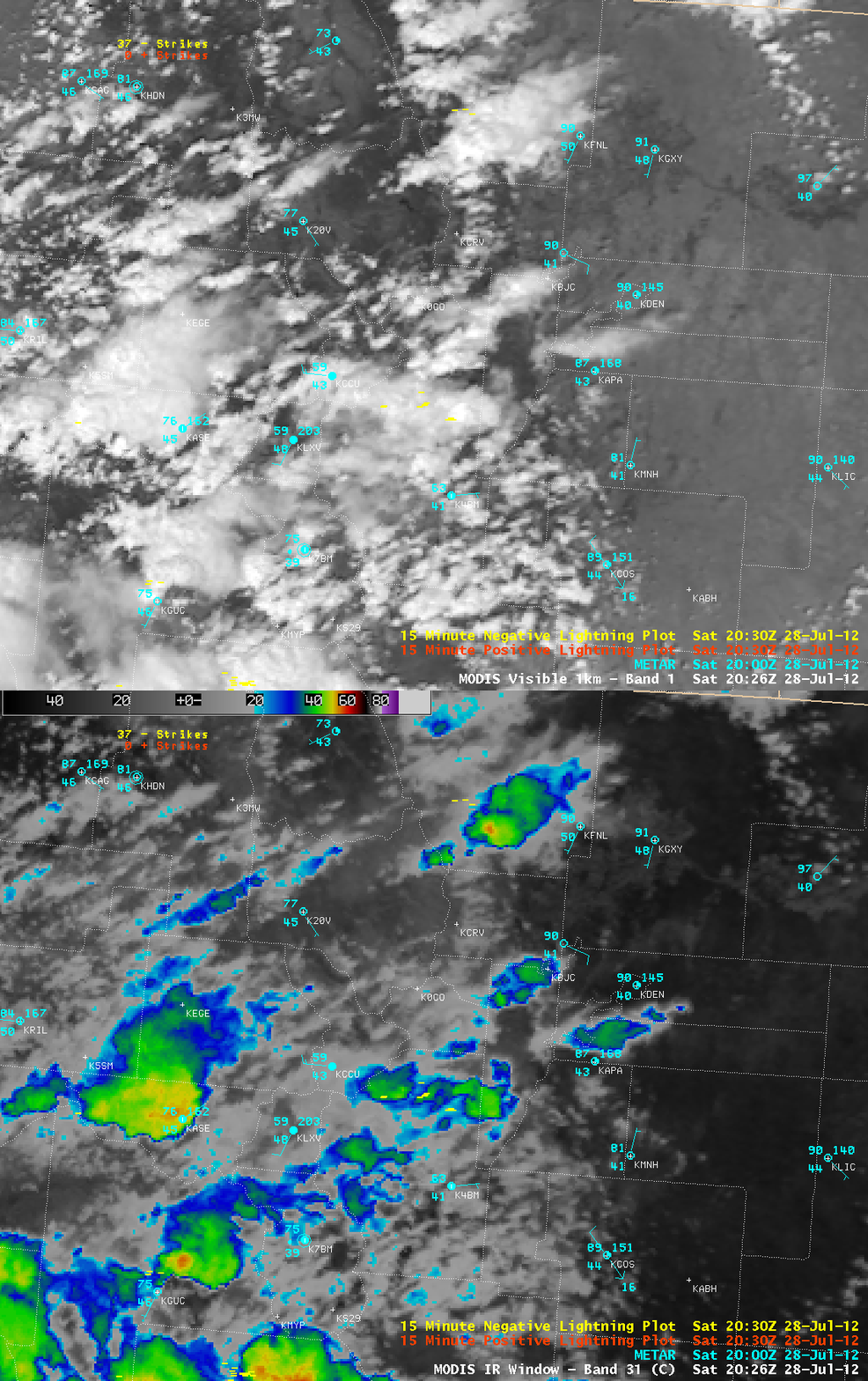
AWIPS images of 1-km resolution MODIS 0.6 µm visible channel and 11.0 µm IR channel data at 20:28 UTC (below) showed that the storm was beginnng to produce a few negative cloud-to-ground lightning strikes, with a minimum IR brightness temperature around -50º C at that time.
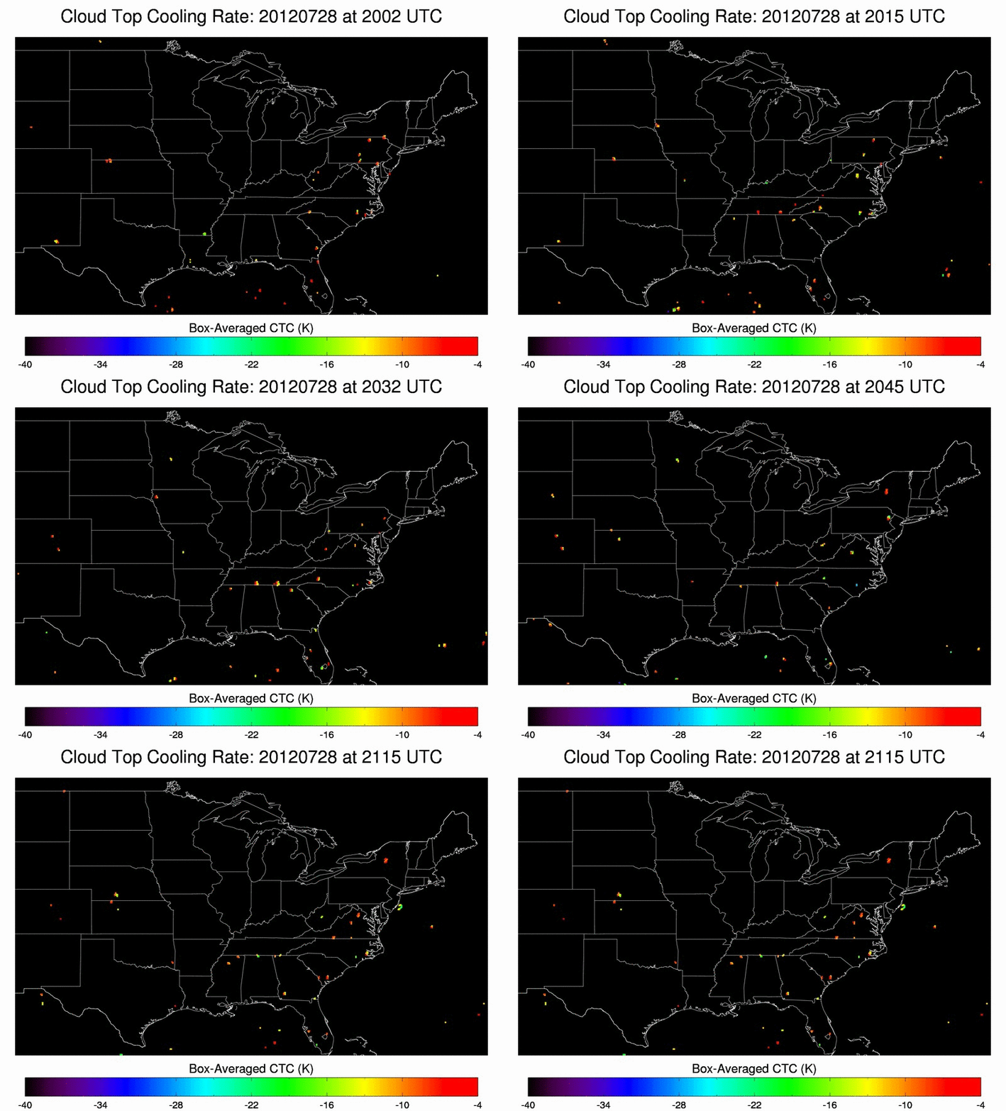
The CIMSS Cloud Top Cooling Rate product (below) did flag the storm at 20:32 UTC as it was beginning to develop in north-central Colorado.


