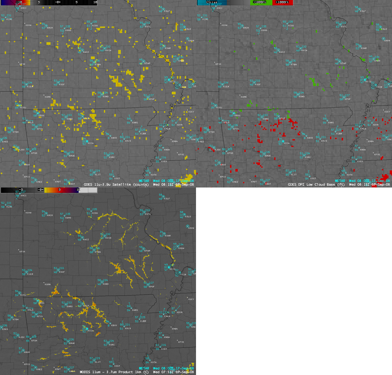
River valley fog over Missouri and Arkansas
AWIPS images of the 4-km resolution GOES-12 fog/stratus and Low Cloud Base products and the 1-km resolution MODIS fog/stratus product (above) showed fingers of river valley fog that had formed over parts of southern Missouri and northern Arkansas at around 08 UTC (3am local time) on 17 September 2008. The soil was moist across that particular region due to heavy rainfall associated with the passage of the remnants of Hurricane Ike 3 days earlier, creating an environment favorable for the formation of radiation fog. Many of the fingers of river valley fog had formed in areas located between the METAR surface reporting stations, so there were not a lot of reports of fog across the region at that time.


