Development of an unusal tropical cyclone in the Mediterranean Sea
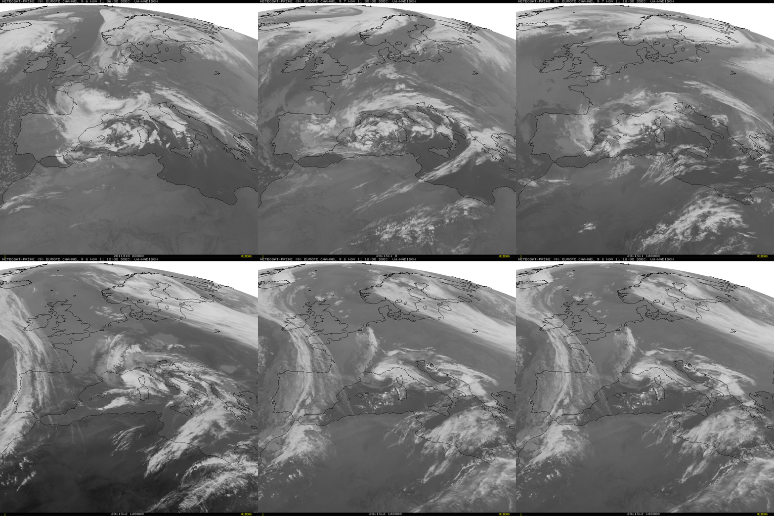
A sequence of EUMETSAT Meteosat-9 10.8 µm IR images at 6-hour intervals (above) showed the development of an unusual tropical cyclone over the western Mediterranean Sea during the 06 November – 08 November 2011 time period.
The tropical cyclone was designated “01M” in a bulletin issued by NOAA/NESDIS Satellie Analysis Branch at 18:19 UTC on 07 November:
TXMM21 KNES 071819
TCSMEDA. 01M (NONAME)
B. 07/1800Z
C. 41.1N
D. 5.3E
E. THREE/MET-9
F. T2.5/2.5/D1.5/24HRS
G. IR/EIR/SWIR
H. REMARKS…DT=2.5 BASED ON .5 BANDING ON LOG10 SPIRAL. PT=2.5. MET=2.0. FT IS BASED ON DT. DEEP CONVECTION HAS PERSISTED LONG ENOUGH AROUND THE LOW LEVEL CENTER FOR A TROPICAL CLASSIFICATION.
I. ADDL POSITIONS
NIL
…SCHWARTZ
Wind speeds were estimated to have reached 45 knots according to various satellite analysis techniques.
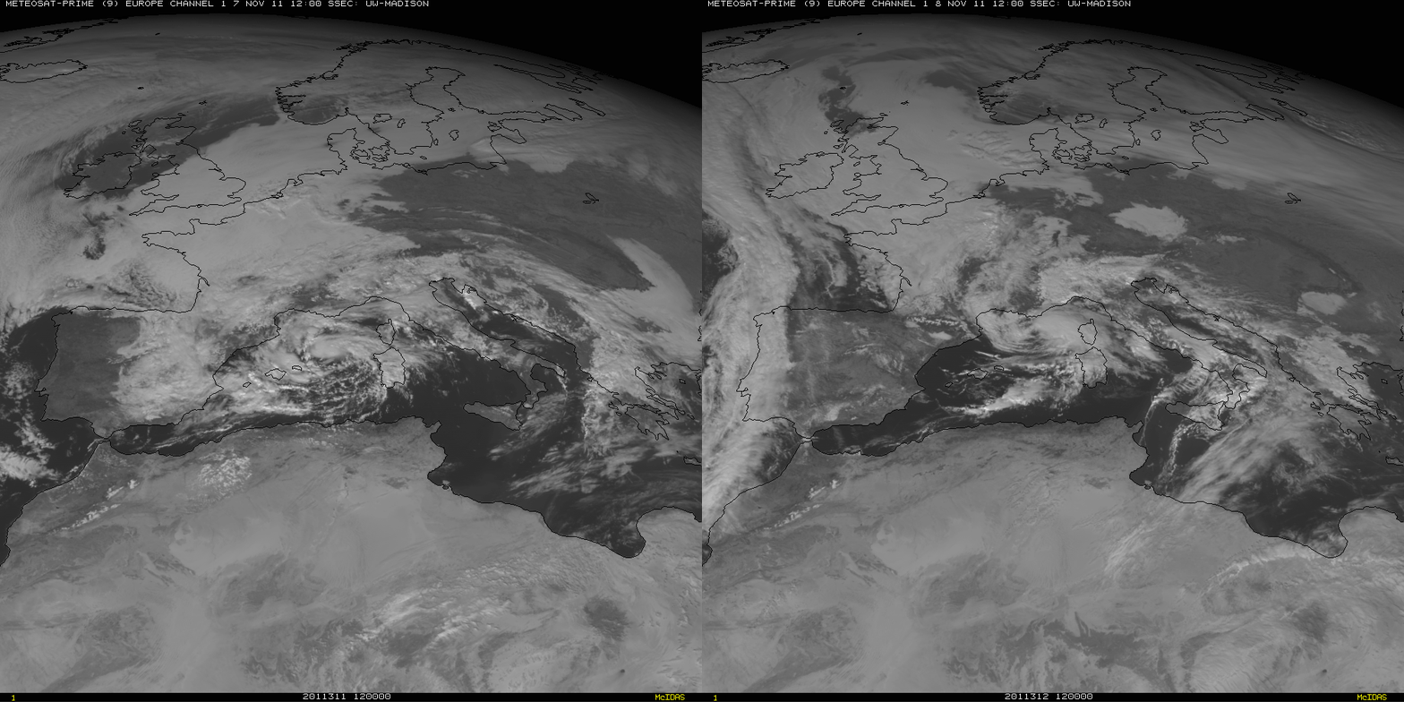
Shown below is a comparison of EUMETSAT Meteosat-9 0.64 µm visible channel images at 12:00 UTC on 07 November and 08 November.


