Tropical Storm Emily in the Caribbean Sea
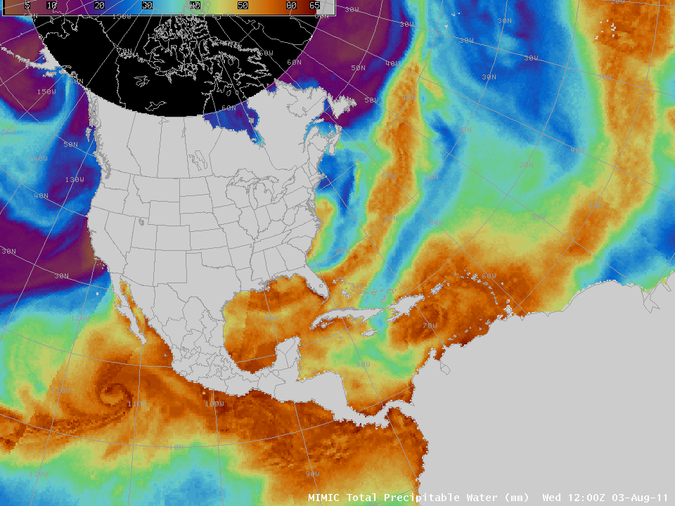
The fifth named storm of the Atlantic Tropical season, Emily, is moving towards Hispaniola. The animation of MIMIC Total Precipitable Water (TPW), above, derived from microwave data, shows that Emily is embedded within a region of enhanced moisture (Hurricane Eugene in the eastern Pacific Ocean is also obvious within the TPW loop).
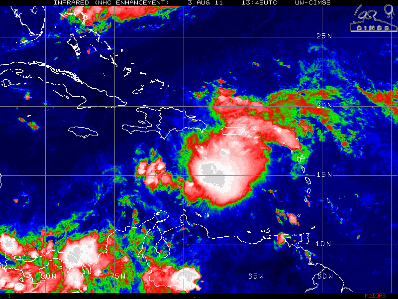
Morning IR satellite imagery from NOAA-16 and NOAA-18 (above) shows a well-developed central dense overcast (CDO), with some overshooting tops. NOAA-18 recorded cloud-top brightness temperatures as cold as -84 C at 0630 UTC. The NOAA-16 visible image from 1149 UTC also shows overshooting tops.
Emily is in an environment favorable for slow strengthening. Shear values are modest, oceanic heat content is high and Dry Air is at present displaced from the convection. The projected path over the high terrain of Hispaniola, however, should limit strengthening (and yield very heavy rains over that island).
There have been 5 other tropical systems named Emily in the Atlantic: in 1981, 1987, 1993, 1999 and 2005. The path of 1987’s Emily is — so far — closest to the path of 2011’s Emily. (Historical Hurricane paths are from the Unisys Hurricane page here)
For more information on Emily, version 2011, including its projected path off the east coast of the United States, please see the National Hurricane Center’s website and the CIMSS Tropical Cyclones website.
(Added, later on August 3rd:
Persistent shear has displaced the circulation from the convection, as shown in the loop above. Convection continues to develop in the center of the storm, but it does not persist there).


