Mesoscale Convective Vortex migrates from southern Arizona to southeast California
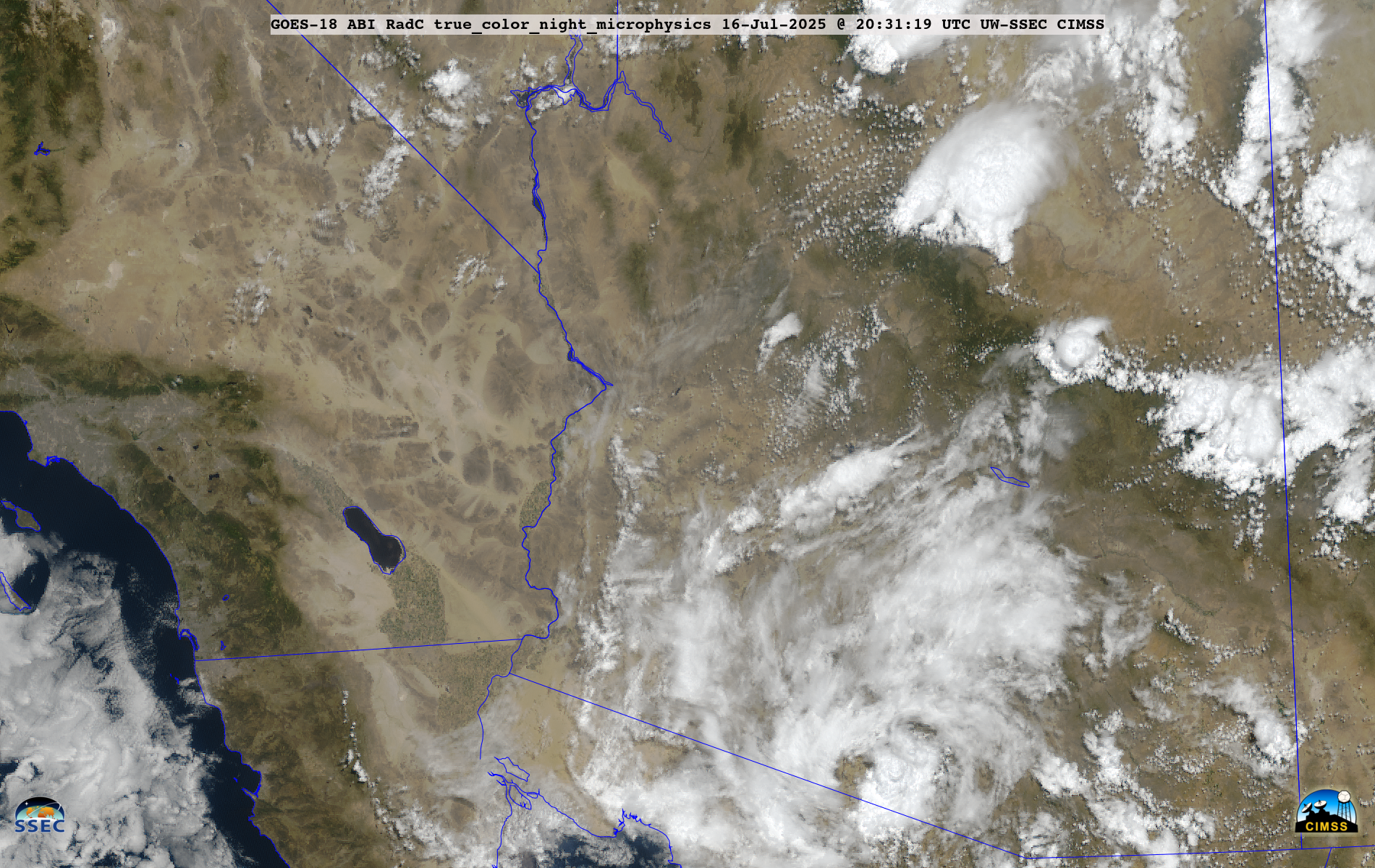
5-minute GOES-18 daytime True Color RGB and Nighttime Microphysics RGB images, from 0901 UTC on 16 July to 2301 UTC on 18 July [click to play MP4 animation]
This MCV was highlighted in NWS/WPC Mesoscale Precipitation Discussions on 16 July, 17 July and 18 July — since this middle-tropospheric feature was helping to force the development of new thunderstorms, further enhancing flash flooding risks in the vicinity of the MCV.
GOES-18 Shortwave Infrared images visualized using RealEarth (below) included outlines of the numerous Flash Flood Watches/Advisories/Warnings that were issued as the MCV propagated from southern Arizona to southeast California.

5-minute GOES-18 Shortwave Infrared images with overlays of Flash Flood Watch (darker green), Flash Flood Advisory (lighter green) and Flash Flood Warning (red) outlines, from 0601 UTC on 16 July to 2301 UTC on 18 July [click to play MP4 animation]