Typhoon Saola’s meandering path towards China
Himawari-9 Clean Window infrared (10.4 µm, Band 13) imagery (every 30 minutes) in late August and early September 2023, above, show the initially looping and later linear path of Typhoon Saola from its development east of the Philippines to its landfall in southern China. Saola was very strong just east of the Philippines before weakening on 27-28 August, then strengthening again as the storm slipped between the Philippines and Taiwan. The temporary weakening is apparent in the SATCON wind plot shown below (taken from the SSEC/CIMSS tropical website).

The animation of Total Precipitable Water from the MIMIC site, below, suggests a reason for the weakening on 27/28 August: dry air was entrained into the storm on 27/28 August. The relatively dry airstream is highlighted in this toggle from 0000 UTC 28 August 2023.

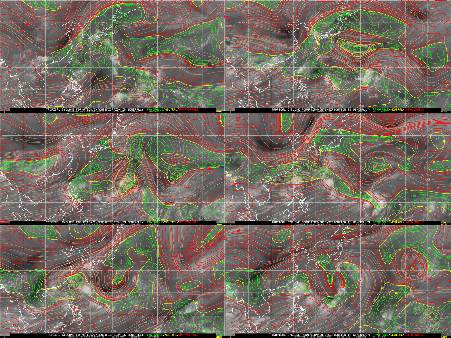
Deep-layer shear estimates (also from the SSEC/CIMSS Tropical Weather website), below, show Saola developing and traversing a region with relatively low shear values. Increased shear does not appear to have been a big factor in the weakening on 27/28 August 2023.


