Perryton, Texas tornado

GOES-16 “Red” Visible (0.64 µm) images, with/without an overlay of GLM Flash Extent Density [click to play animated GIF | MP4]
The corresponding GOES-16 “Clean” Infrared Window (10.3 µm) and Cloud Top Temperature derived product images are shown below; just prior to the tornado, the coldest 10.3 µm infrared brightness temperature and Cloud Top Temperature values were -73.41ºC and -76.92ºC, respectively, at 2158 UTC (note that the coldest temperature for this infrared color enhancement was adjusted to be -95ºC).

GOES-16 “Clean” Infrared Window (10.3 µm) and Cloud Top Temperature derived product images [click to play animated GIF | MP4]
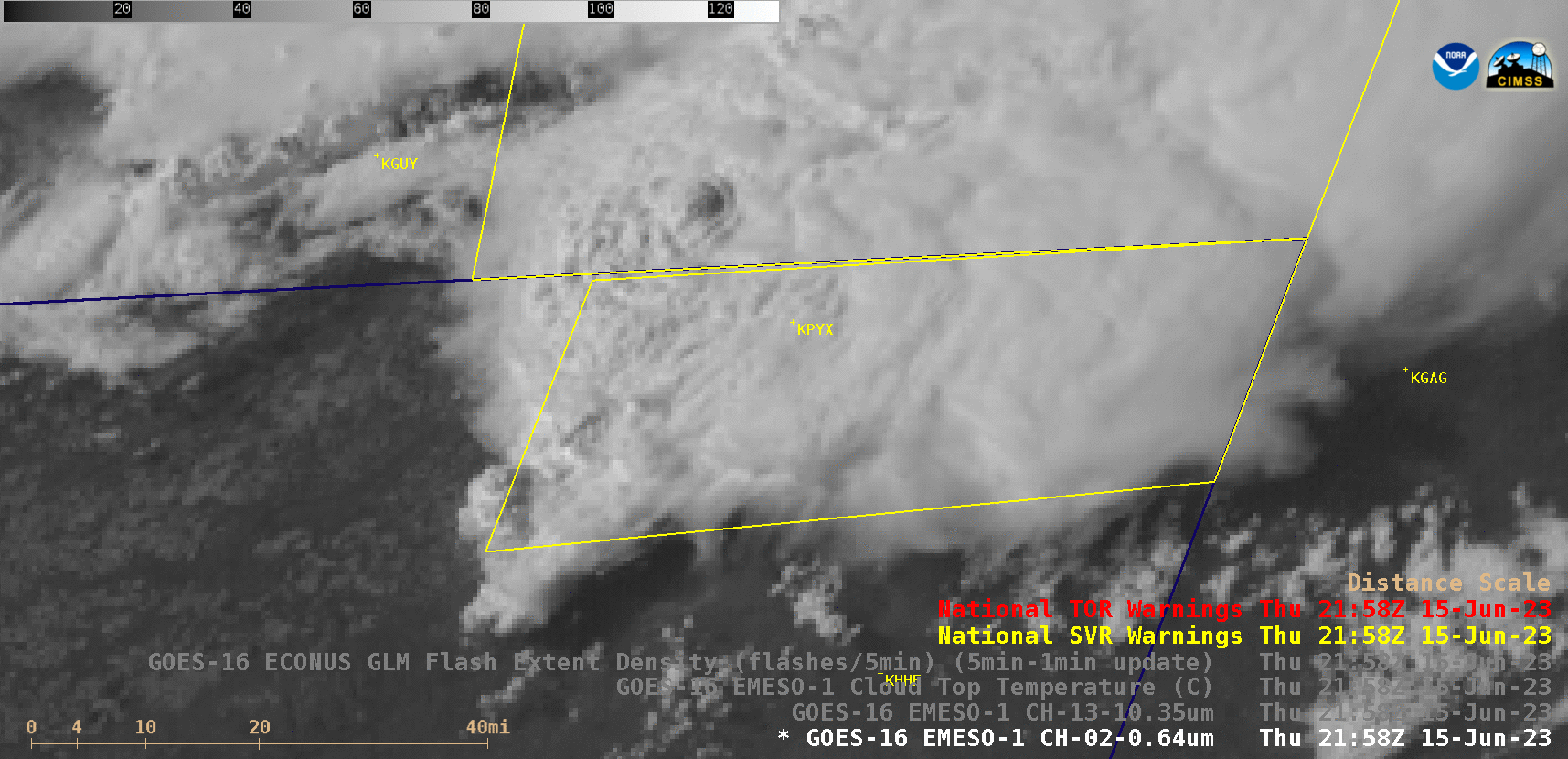
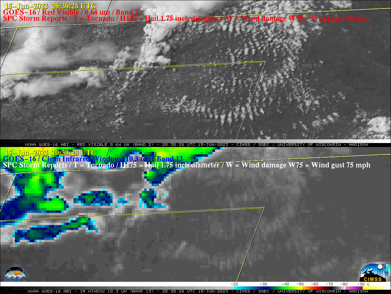
GOES-16 “Red” Visible (0.64 µm) and “Clean” Infrared Window (10.3 µm) images 2158 UTC [click to enlarge]
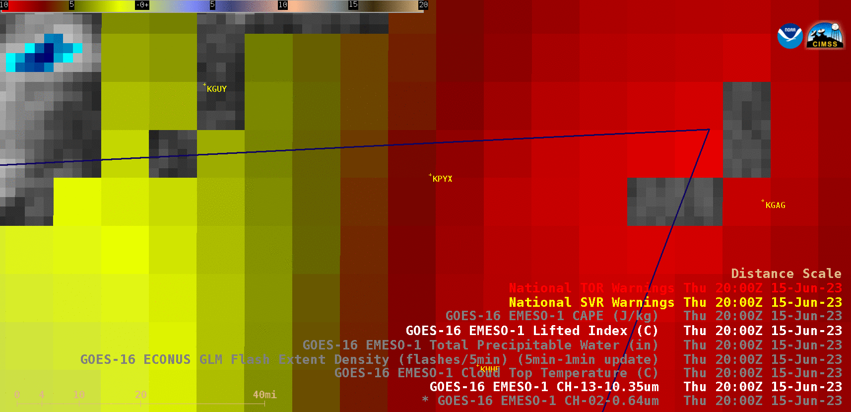
GOES-16 Lifted Index and Convective Available Potential Energy (CAPE) derived product images [click to play animated GIF | MP4]
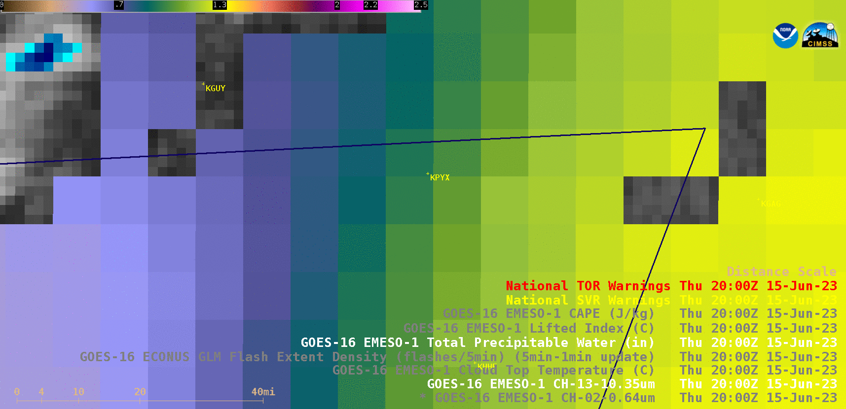
GOES-16 Total Precipitable Water derived product images [click to play animated GIF | MP4]
GOES-16 “Red” Visible (0.64 µm, top) and “Clean” Infrared Window (10.3 µm, bottom) images, with time-matched plots of SPC Storm Reports [click to play animated GIF | MP4]