Severe thunderstorms produce an EF3 tornado in Virginia Beach
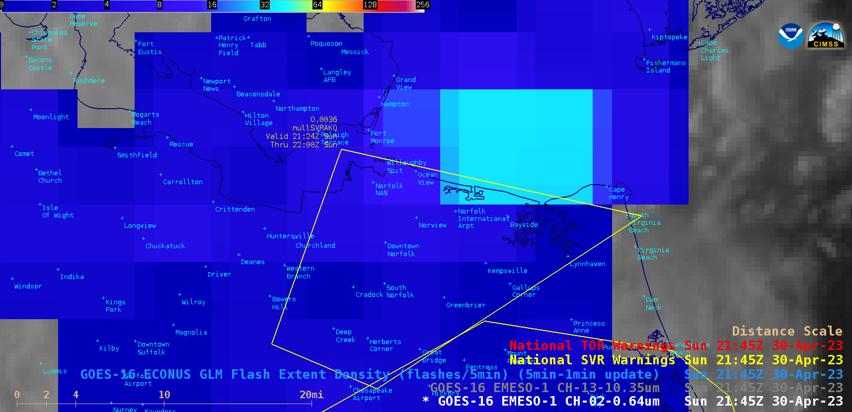
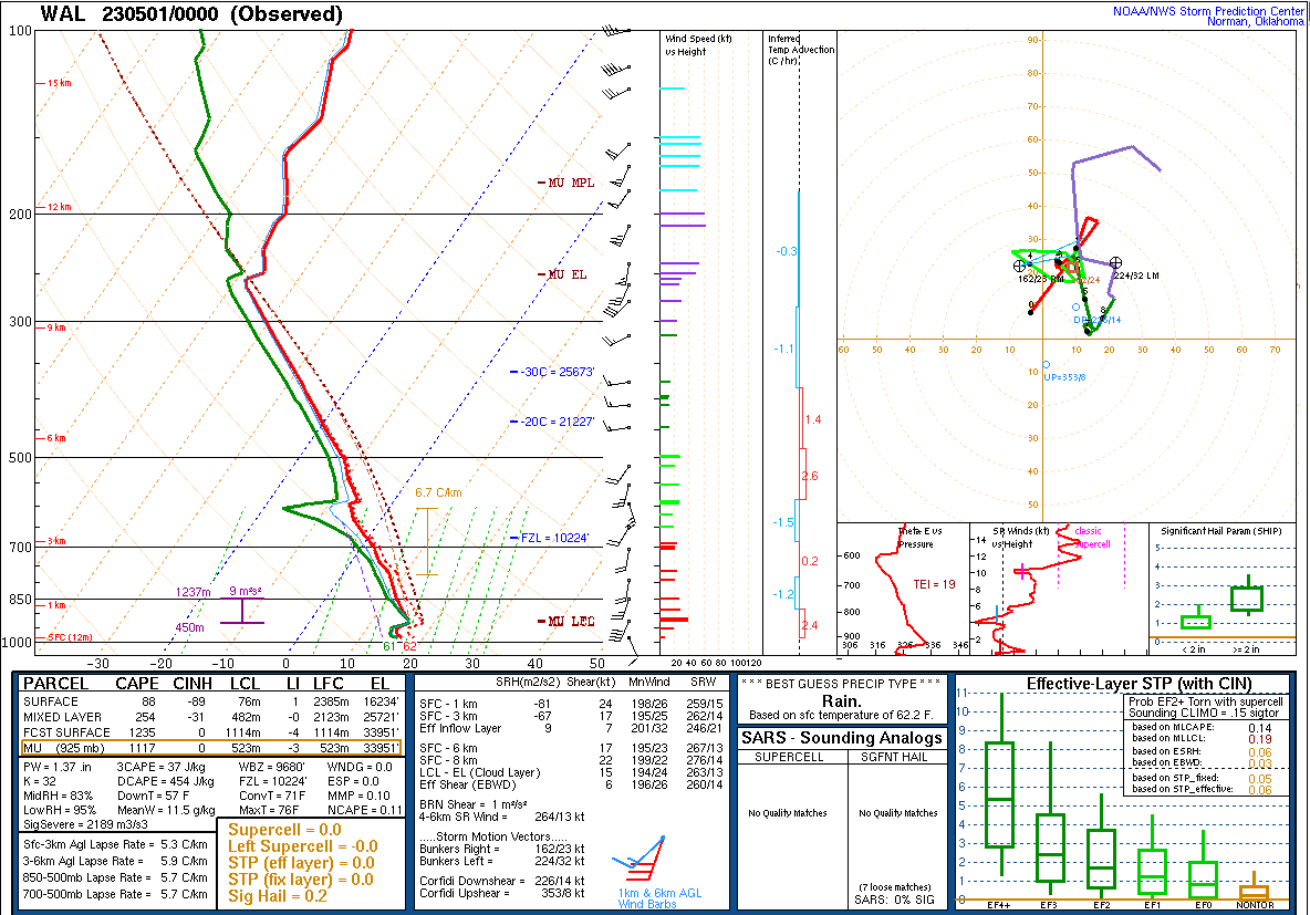
1-minute Mesoscale Domain Sector GOES-16 (GOES-East) “Red” Visible (0.64 µm) and “Clean” Infrared Window (10.3 µm) images (above) include an overlay of GLM Flash Extent Density — which showed the severe thunderstorm that produced an EF3-rated tornado in Virginia Beach, Virginia on 30 April 2023. With that particular storm a lightning jump began around 2135 UTC and peaked at 2142 UTC, and the coldest cloud-top infrared brightness temperature of -55.58ºC occurred at 2145 UTC — both during the minutes leading up to the tornado, which formed at 2148 UTC.The coldest Cloud Top Temperature derived product (which also occurred at 2145 UTC) was about 0.9ºC colder, at -56.49ºC.A plot of rawinsonde data (source) from Wallops, Virginia at 0000 UTC on 01 May (below) indicated that the -56.49ºC Cloud Top Temperature value roughly corresponded to a Most Unstable air parcel Equilibrium Level (MU EL) overshoot of about 1 km.
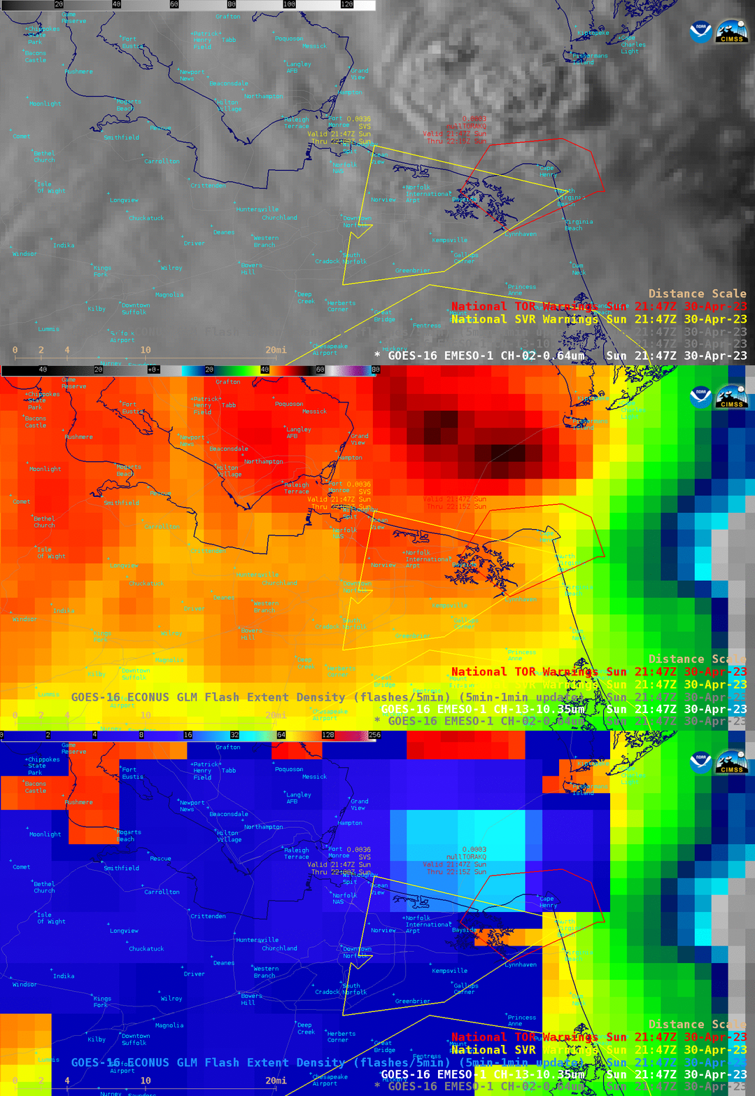
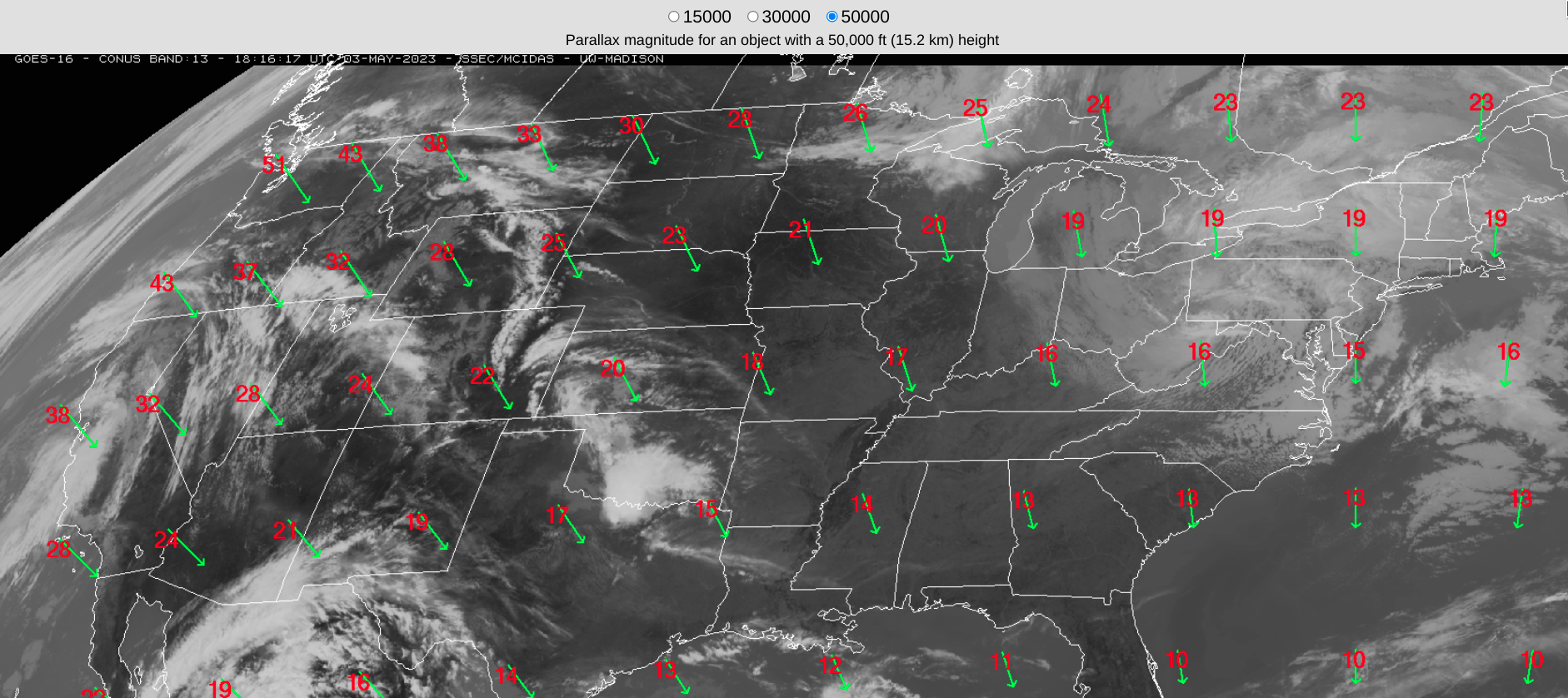
A toggle between GOES-16 Visible, Infrared and GLM Flash Extent Density images at 2147 UTC (above) showed that the thunderstorm responsible for the 2148-2153 UTC tornado — whose SW-to-NE track was from Lynnhaven to Cape Henry — was apparently located just offshore (centered over the Chesapeake Bay Bridge Tunnel). However, one must take parallax into account — which in this case was a northward displacement of around 14 km or 8.7 miles (below). A blog post discussing the use of Polar Hyperspectral Sounding data in a numerical model simulation for this storm is available here.