Gravity waves north-northwest of Hawai`i

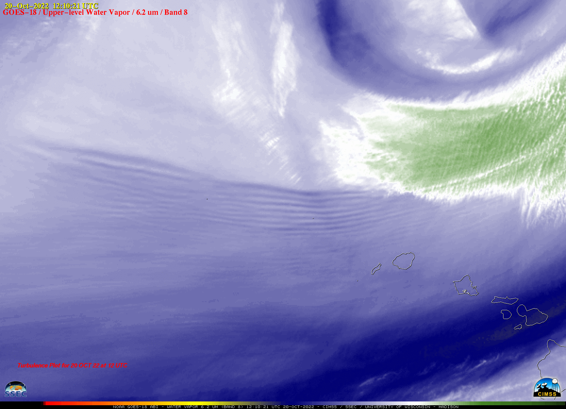
GOES-18 Upper-level Water Vapor (6.2 µm) images [click to play animated GIF | MP4]
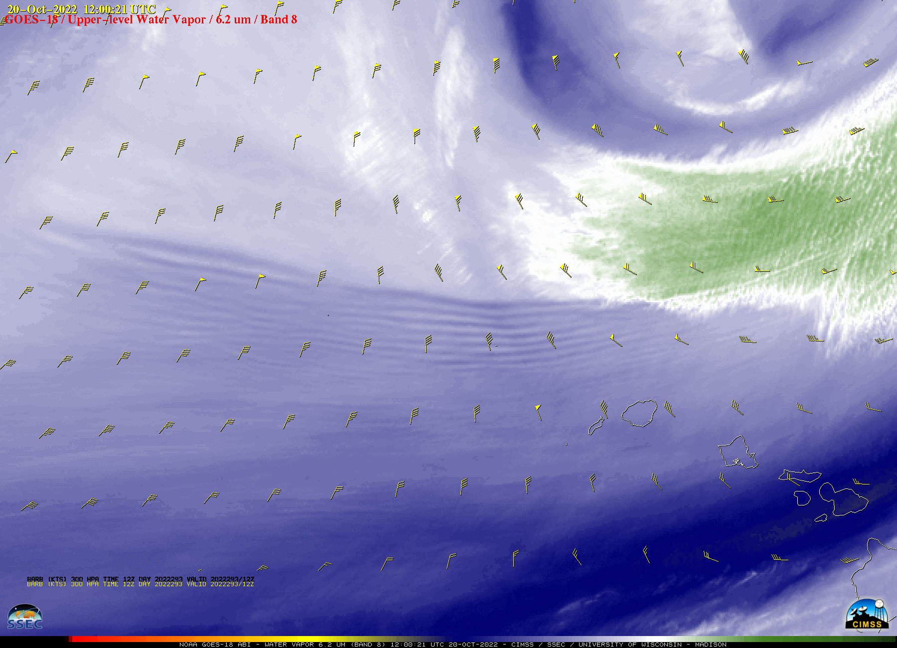
These waves developed in a region of diffluent upper-tropospheric flow, in the exit region of a jet streak along the western edge of an anomalously-deep retrograding upper-level trough north of the islands — as shown in a 2-hour sequence of GOES-18 Water Vapor images with plots of GFS model 300 hPa winds valid at 12 UTC (below).

GOES-18 Upper-level Water Vapor (6.2 µm) images, with 12 UTC GFS model 300 hPa wind barbs plotted in yellow [click to play animated GIF | MP4]


