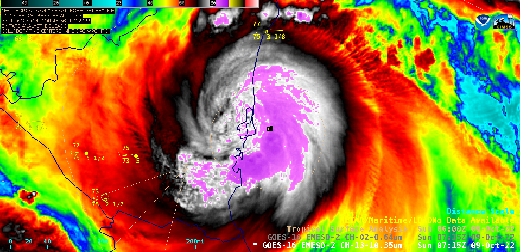
Hurricane Julia makes landfall in Nicaragua

GOES-16 “Clean” Infrared Window (10.3 µm) images [click to play animated GIF | MP4]
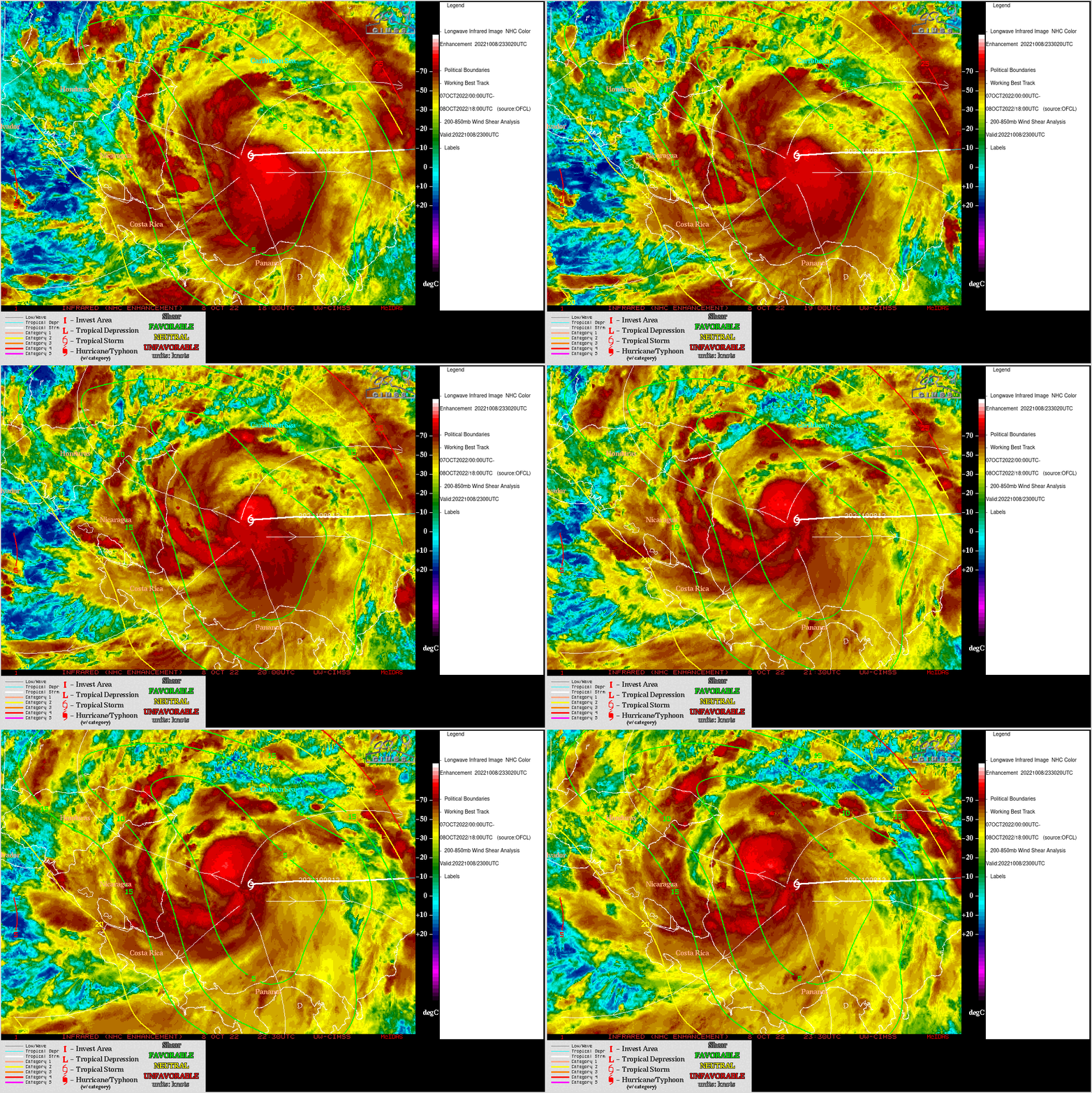
Julia was upgraded from a Tropical Storm to a Hurricane at 2300 UTC on 08 October — an analysis of deep-layer wind shear at that time from the CIMSS Tropical Cyclones site (below) indicated that Julia was moving through an environment of very low shear (which favored further intensification). The tropical cyclone was also traversing warm water with Sea Surface Temperature values around 29ºC.

GOES-16 Infrared Window (11.2 µm) images, with contours of deep-layer wind shear valid at 2300 UTC [click to enlarge]


