30-second imagery of Hurricane Ian
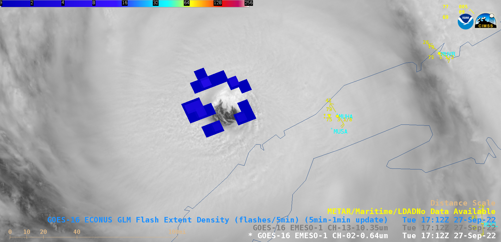
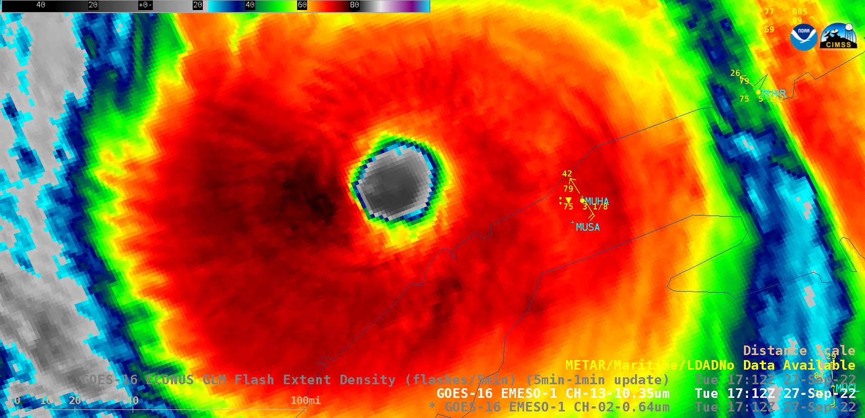
Overlapping 1-minute Mesoscale Domain Sectors provided 30-second interval GOES-16 (GOES-East) “Red” Visible (0.64 µm) images, with and without an overlay of GLM Flash Extent Density (above) — which showed the well-defined eye of Category 3 Hurricane Ian as it moved away from the northern coast of Cuba on 27 September 2022. Near-continuous lightning activity was seen in the eyewall region of Ian during the 7-hour period from 1300-2000 UTC.The corresponding 30-second GOES-16 “Clean” Infrared Window (10.3 µm) images (below) showed cloud-top infrared brightness temperatures as cold as -83ºC.
In a toggle between NOAA-20 VIIRS Infrared Window (11.45 µm) and Visible (0.64 µm) images valid at 1847 UTC (below), the coldest cloud-top infrared brightness temperatures at that time were around -83ºC (darker shades of purple),