Brief flareup of the Moose Fire in Idaho

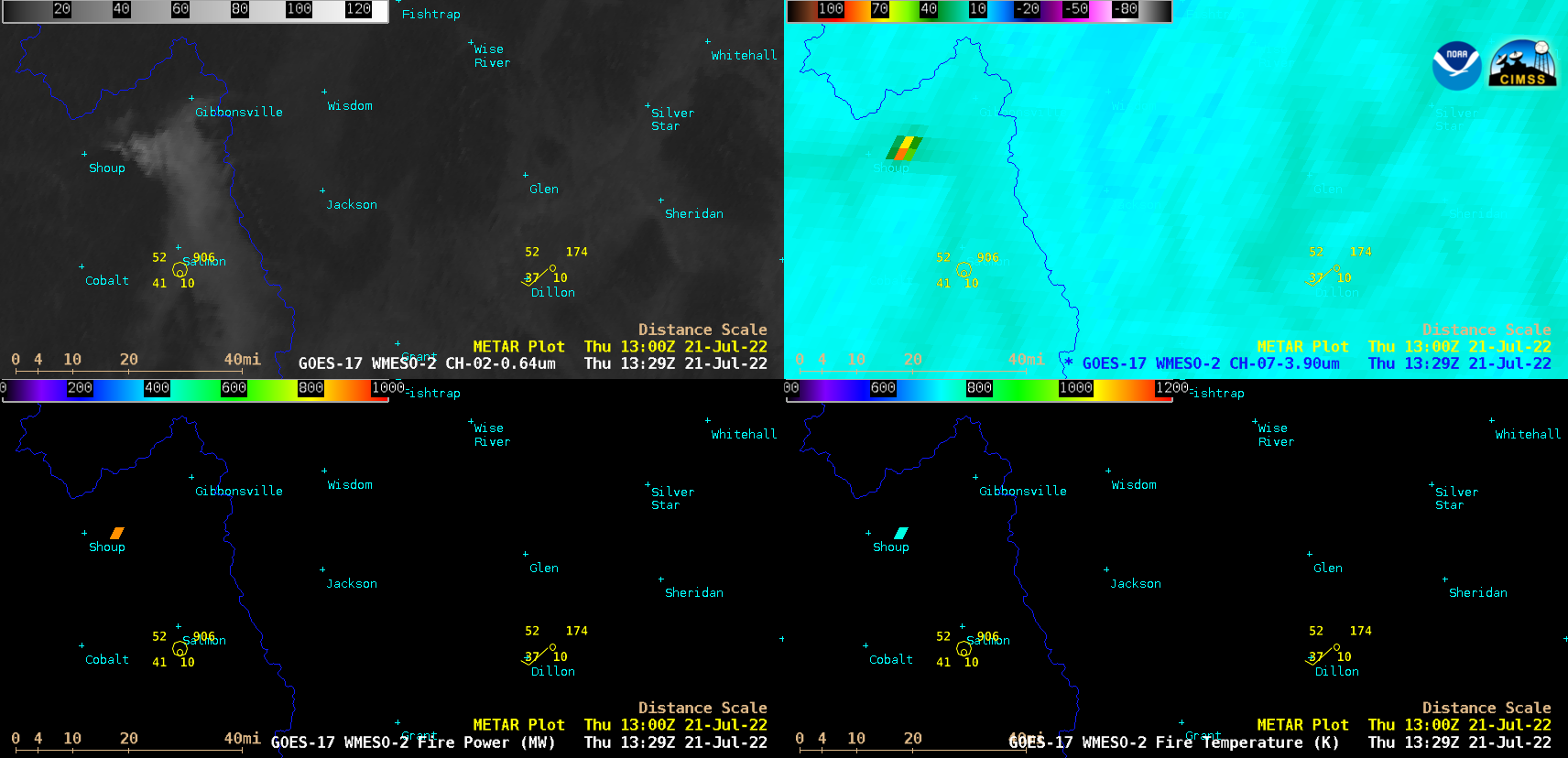
GOES-17 “Red” Visible (0.64 µm, top left), Shortwave Infrared (3.9 µm, top right), Fire Power (bottom left) and Fire Temperature (bottom right) images [click to play animated GIF | MP4]
During this brief flareup, the peak values of Shortwave Infrared, Fire Power and Fire Temperature were a rather modest 83.17ºC, 886.98 MW and 845.37 K respectively — however, the fire was hot enough to produce a notable smoke plume that then drifted southeastward. This flareup apparently occurred during a local increase in terrain-driven wind speeds, around the time that the nocturnal temperature inversion was eroding (which aided in the rapid vertical ventilation of fresh smoke).
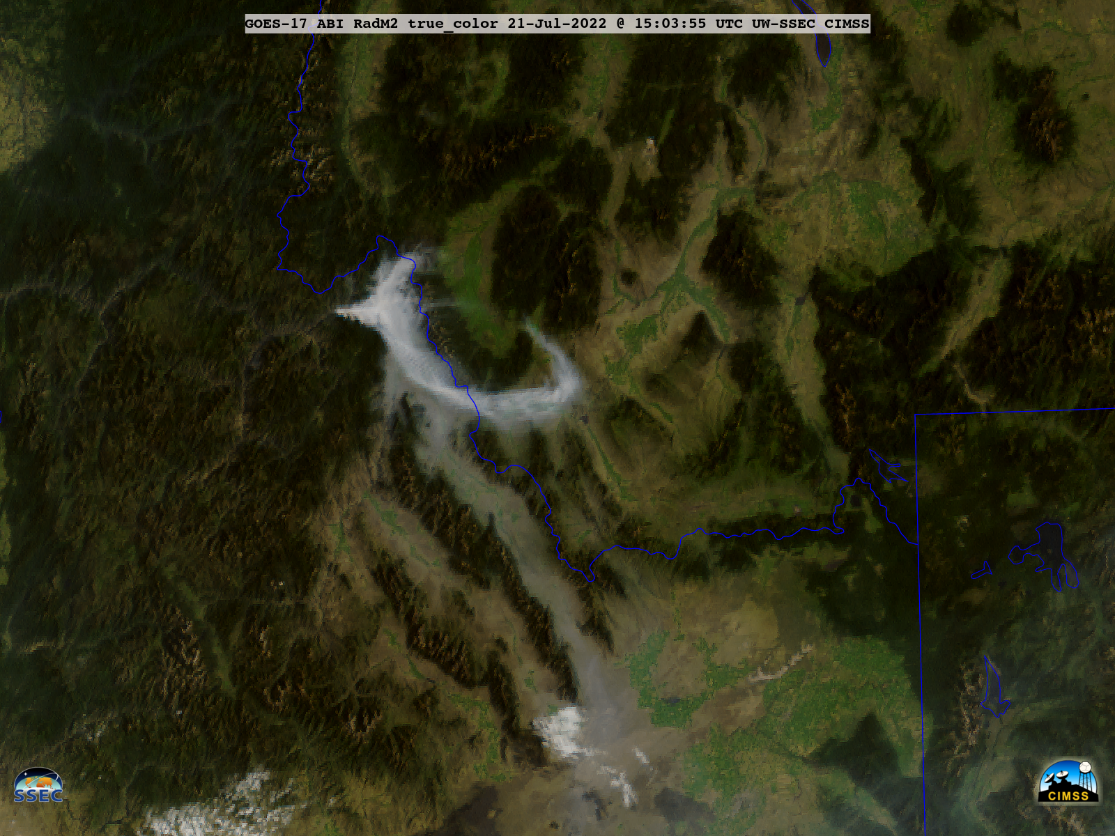
GOES-17 True Color RGB images created using Geo2Grid (below) provided a clearer view of the smoke plume as it curled southeastward — along with the ventilation of smoke from nearby valleys that had settled into lower elevations beneath the nocturnal temperature inversion.

GOES-17 True Color RGB images [click to play animated GIF | MP4]

