Wildfire smoke across Alaska

GOES-17 True Color RGB images [click to play animated GIF | MP4]
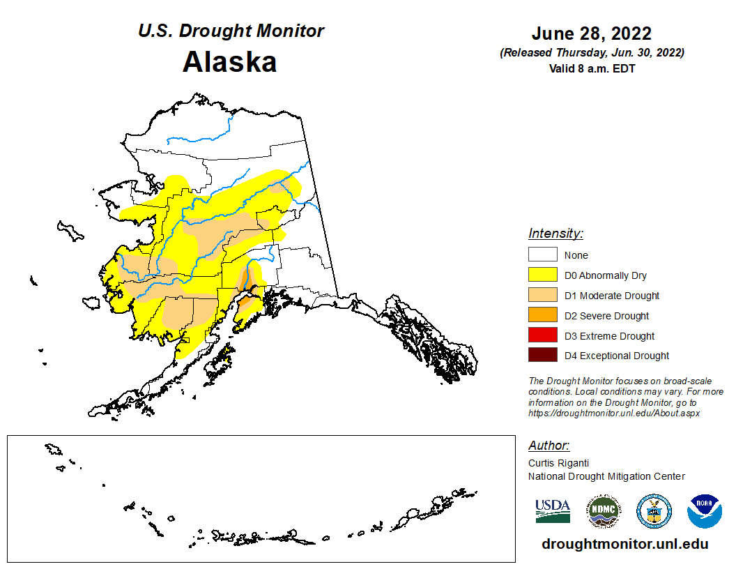
GOES-17 (GOES-West) True Color RGB images created using Geo2Grid (above) showed a widespread pall of smoke covering much of southern Alaska — from above-normal fire activity during the preceding several days, amid drought conditions — along with the growth of new smoke plumes from many of the larger fires later in the day on 29 Jun 2022. This dense smoke was restricting the surface visibility at numerous sites, creating hazards to aviation and poor air quality for inhabitants.
===== 30 June Update =====

GOES-17 True Color RGB images [click to play animated GIF | MP4]
On the following day, GOES-17 True Color RGB images (above) showed an increasing trend in the areal coverage of smoke — and also revealed the marked re-intensification of a 40-50 mile long line of the combined Koktuli River and Pike Creek fires in southwestern Alaska (northwest of Iiamna Lake).
A closer view of the Koktuli River and Pike Creek fire line is shown below, using 1-minute Mesoscale Sector GOES-17 “Red” Visible (0.64 µm), Shortwave Infrared (3.9 µm), Day Cloud Land Fire RGB and Fire Temperature RGB images. This was reportedly the largest wildfire complex in that area of Alaska in the past 70 years.

GOES-17 “Red” Visible (0.64 µm, top left), Shortwave Infrared (3.9 µm, top right), Day Cloud Land Fire RGB (bottom left) and Fire Temperature RGB (bottom right) images [click to play animated GIF | MP4]
The dense smoke plume was transported northwestward toward the Seward Peninsula, where it contributed to very poor air quality in Nome on the following day.