TD Alvin and TS Barbara
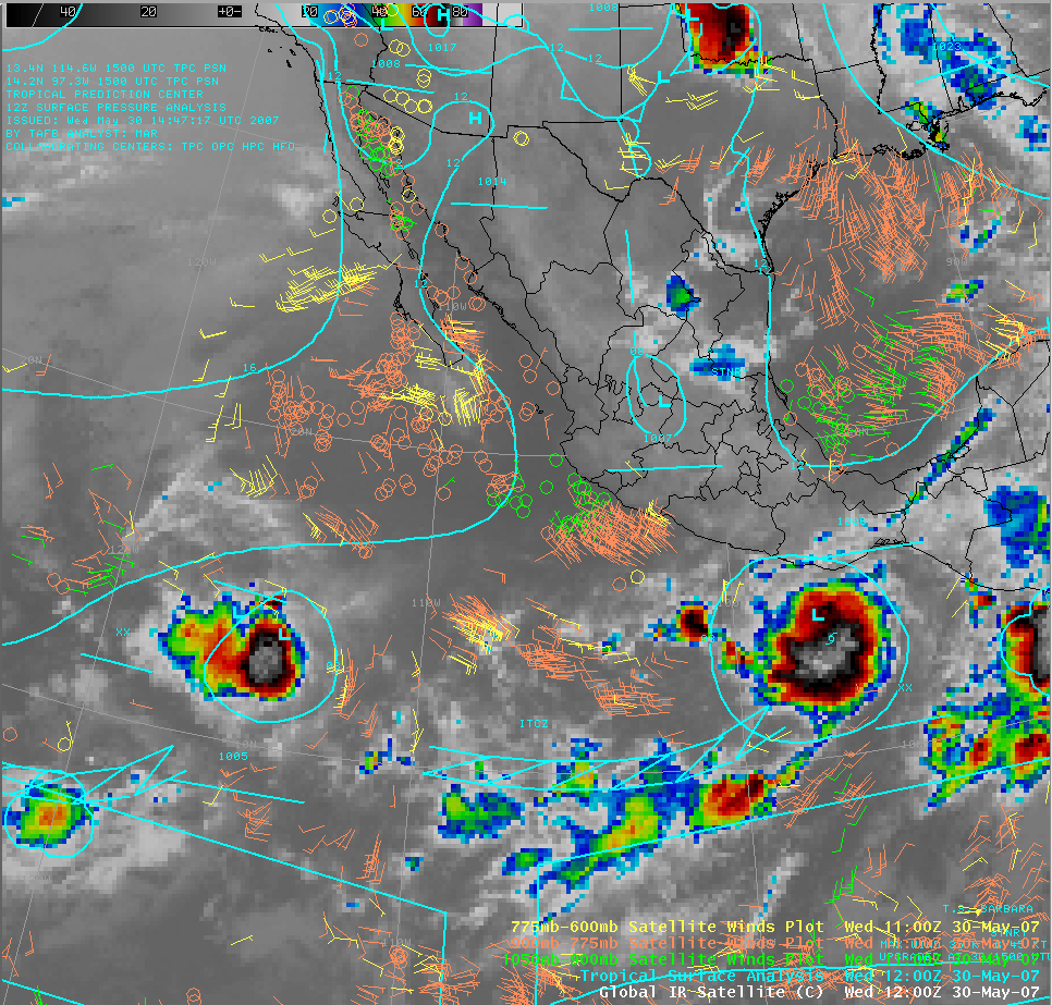
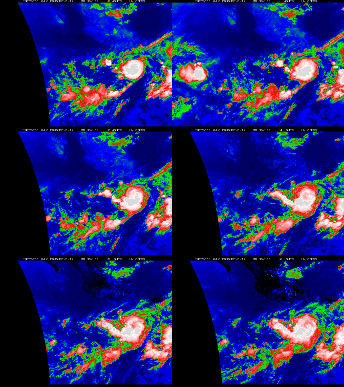
An AWIPS image of the GOES 10.7µm InfraRed (IR) channel (above) shows Tropical Depression Alvin (left) and Tropical Storm Barbara (right) on 30 May 2007 — both disturbances were located near the Intertropical Convergence Zone (ITCZ) over the Eastern Pacific Ocean. The morning NHC discussion pointed out that only twice before (in 1956 and 1984) have there been two named Eastern Pacific basin storms in the month of May. An animation of GOES-12 IR imagery with a different color enhancement (below) indicates that the cold cloud top temperatures (red to white enhancement) associated with Tropical Storm Barbara were increasing in areal coverage during the morning hours.
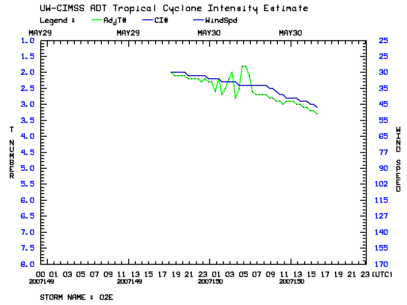
The NHC discussion also made reference to the CIMSS Advanced Dvorak Technique or ADT (below) in their decision to upgrade Tropical Depression Barbara to a Tropical Storm.


