Medicane Ionas after Greece
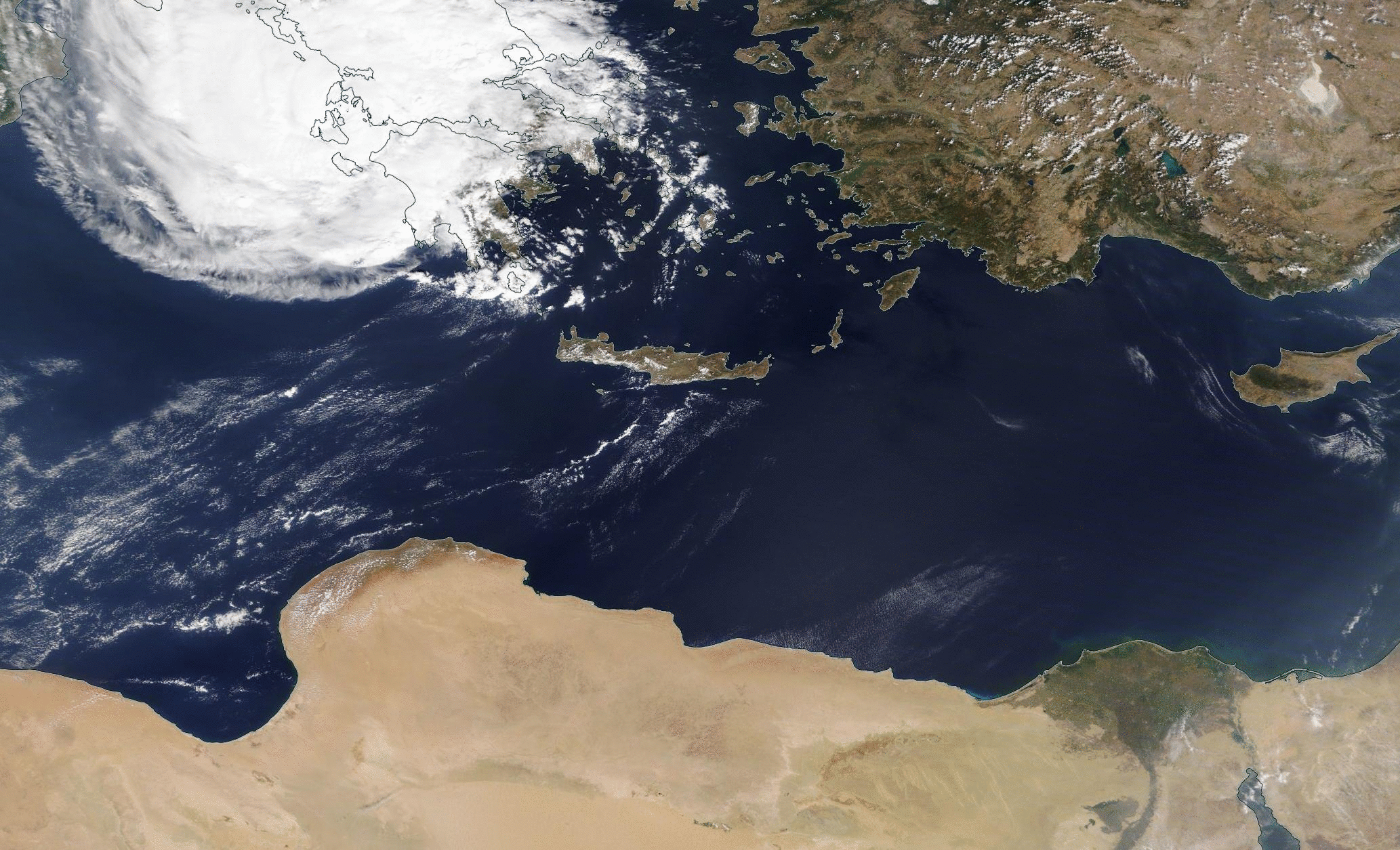
VIIRS Daily True-Color images, 18-21 September 2020 (Click to animate)
What did the Medicane that hit Greece do afterwards? VIIRS True-color imagery, above, taken from the NASA WorldView site, show an intact feature moving along the northern coast of Africa on 20-21 September towards the Nile Delta. The amount of cloudiness is in general declining as it moves into a drier environment. Total Precipitable Water (TPW) from the MIMIC website shows the general drying surrounding the storm.
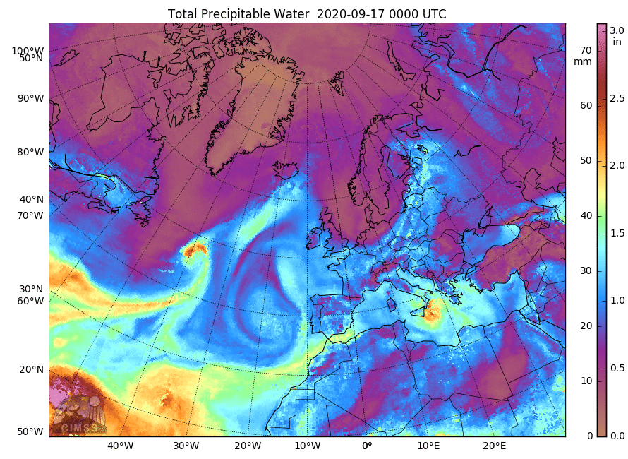
MIMIC hourly estimates of Total Precipitable Water from 00 UTC on 17 September to 14 UTC on 21 September 2020 (Click to animate)
Rick Kohrs, SSEC/CIMSS, supplied the True-Color multi-day animation from Meteosat-11 imagery below. (Updated on 23 September to include date annotations)

Meteorsat-11 True-Color Imagery over the Mediterranean sea, 15-21 September 2020 (Click to animate)