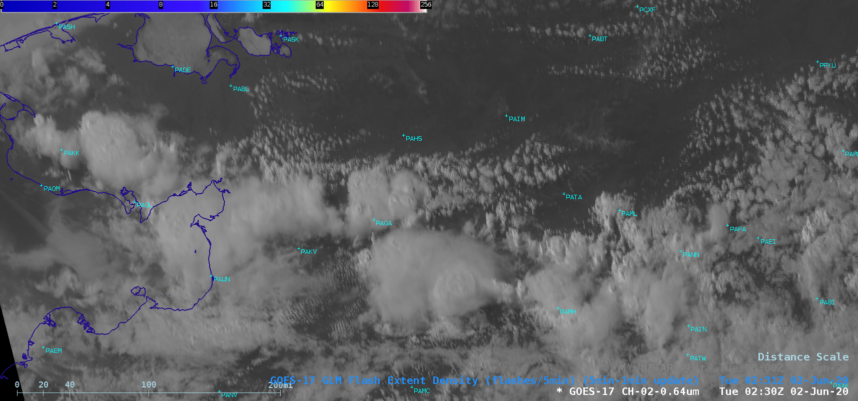
Thunderstorms across Interior Alaska and the Seward Peninsula

GOES-17 “Red” Visible (0.64 µm) images [click to play animation | MP4]
The corresponding GOES-17 “Clean” Infrared Window (10.35 µm) images (below) revealed cloud-top infrared brightness temperatures in the -55 to -59ºC range (brighter shades of yellow).
![GOES-17 "Red" Visible (0.64 µm) images [click to play animation | MP4]](https://cimss.ssec.wisc.edu/satellite-blog/images/2020/06/ak_ir-20200602_010059.png)
GOES-17 “Clean” Infrared Window (10.35 µm) images [click to play animation | MP4]


![Suomi NPP VIIRS Visible (0.64 µm) and Infrared Window (11.45 µm) images at 2123 UTC [click to enlarge]](https://cimss.ssec.wisc.edu/satellite-blog/images/2020/06/200601_2123utc_suomiNPP_viirs_visible_infrared_AK_anim.gif)
![Suomi NPP VIIRS Visible (0.64 µm) and Infrared Window (11.45 µm) images at 2306 UTC [click to enlarge]](https://cimss.ssec.wisc.edu/satellite-blog/images/2020/06/200601_2306utc_suomiNPP_viirs_visible_infrared_AK_anim.gif)