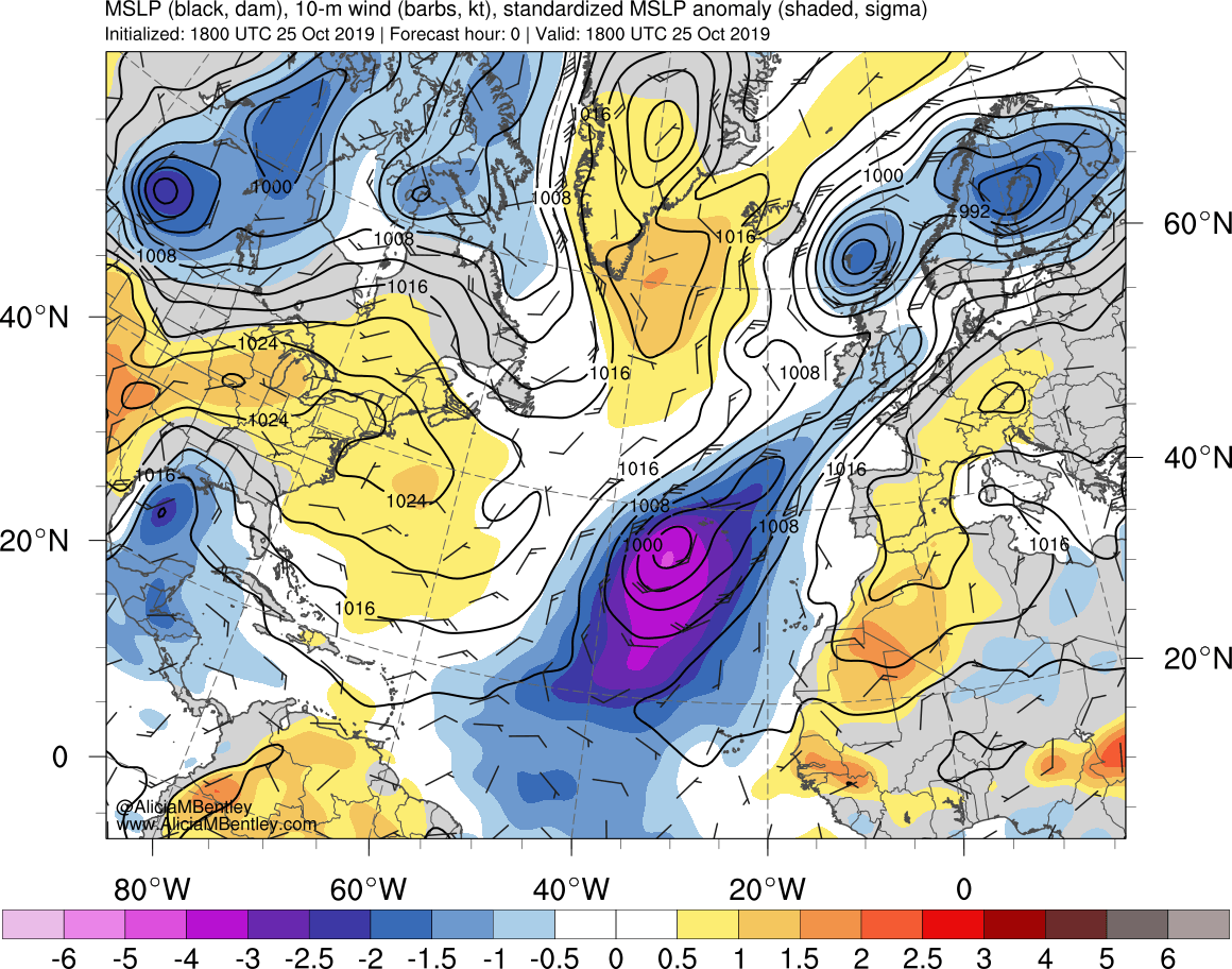
Tropical Storm Pablo in the East Atlantic Ocean
![GOES-16 “Red” Visible (0.64 µm, left) and “Clean” Infrared Window (10.3 µm, right) images [click to play animation | MP4]](https://cimss.ssec.wisc.edu/satellite-blog/wp-content/uploads/sites/5/2019/10/191025_goes16_visible_infrared_TS_Pablo_anim.gif)
GOES-16 “Red” Visible (0.64 µm, left) and “Clean” Infrared Window (10.3 µm, right) images [click to play animation | MP4]
A toggle between Suomi NPP VIIRS True Color Red-Green-Blue (RGB) and Infrared Window (11.45 µm) images viewed using RealEarth provided a higher-resolution view of Pablo around 15 UTC (below).
![Suomi NPP VIIRS True Color RGB and Infrared Window (11.45 µm) images [click to enlarge]](https://cimss.ssec.wisc.edu/satellite-blog/wp-content/uploads/sites/5/2019/10/191025_15utc_suomiNPP_viirs_trueColorRGB_infraredWindow_TS_Pablo_anim.gif)
Suomi NPP VIIRS True Color RGB and Infrared Window (11.45 µm) images [click to enlarge]
![Suomi NPP VIIRS True Color RGB and Infrared Window (11.45 µm) images [click to enlarge]](https://cimss.ssec.wisc.edu/satellite-blog/wp-content/uploads/sites/5/2019/10/191025_15utc_suomiNPP_viirs_trueColorRGB_infraredWindow_large_scale_TS_Pablo_anim.gif)
Suomi NPP VIIRS True Color RGB and Infrared Window (11.45 µm) images [click to enlarge]
===== 26 October Update =====
![GOES-16 “Red” Visible (0.64 µm, top) and “Clean” Infrared Window (10.3 µm, bottom) images [click to play animation | MP4]](https://cimss.ssec.wisc.edu/satellite-blog/wp-content/uploads/sites/5/2019/10/191026_goes16_visible_infrared_TS_Pablo_anim.gif)
GOES-16 “Red” Visible (0.64 µm, top) and “Clean” Infrared Window (10.3 µm, bottom) images [click to play animation | MP4]
After sunset, GOES-16 Infrared images (below) captured Pablo as it pass across the Azores, southeast of Santa Maria (LPAZ) — during that time, the tropical cyclone lost its intermittent eye feature.
![GOES-16 “Clean” Infrared Window (10.3 µm) images [click to play animation | MP4]](https://cimss.ssec.wisc.edu/satellite-blog/wp-content/uploads/sites/5/2019/10/191026_goes16_infrared_Pablo_Azores_anim.gif)
GOES-16 “Clean” Infrared Window (10.3 µm) images [click to play animation | MP4]