Grass Fire over north Texas

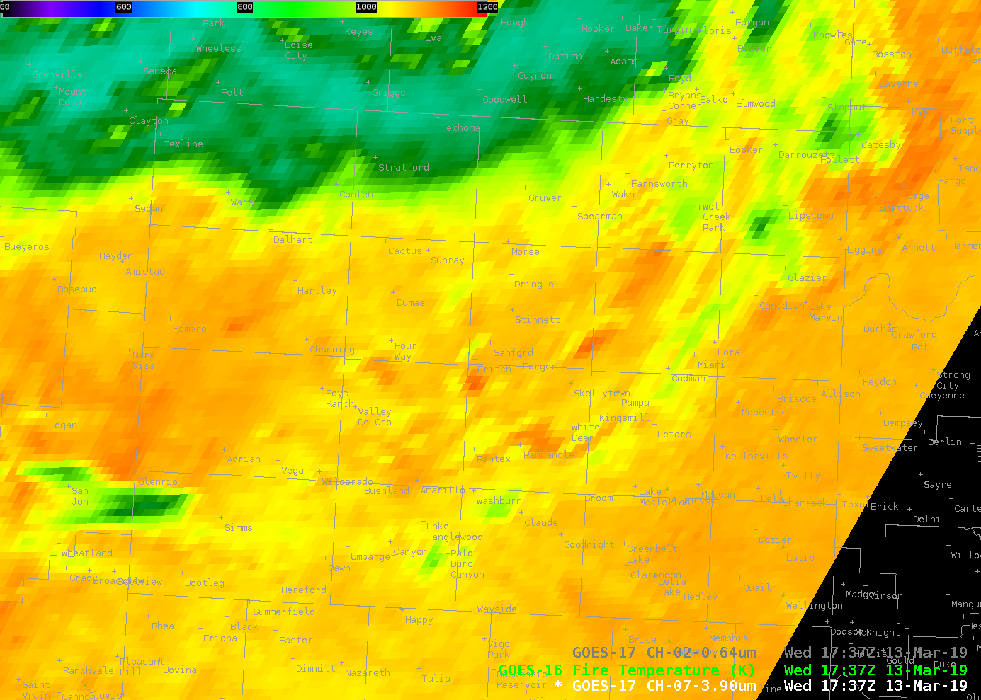
GOES-17 ABI Band 7 Shortwave Infrared (3.9 µm) Imagery, 1737-2006 UTC on 13 March 2019 (Click to play mp4 animation)
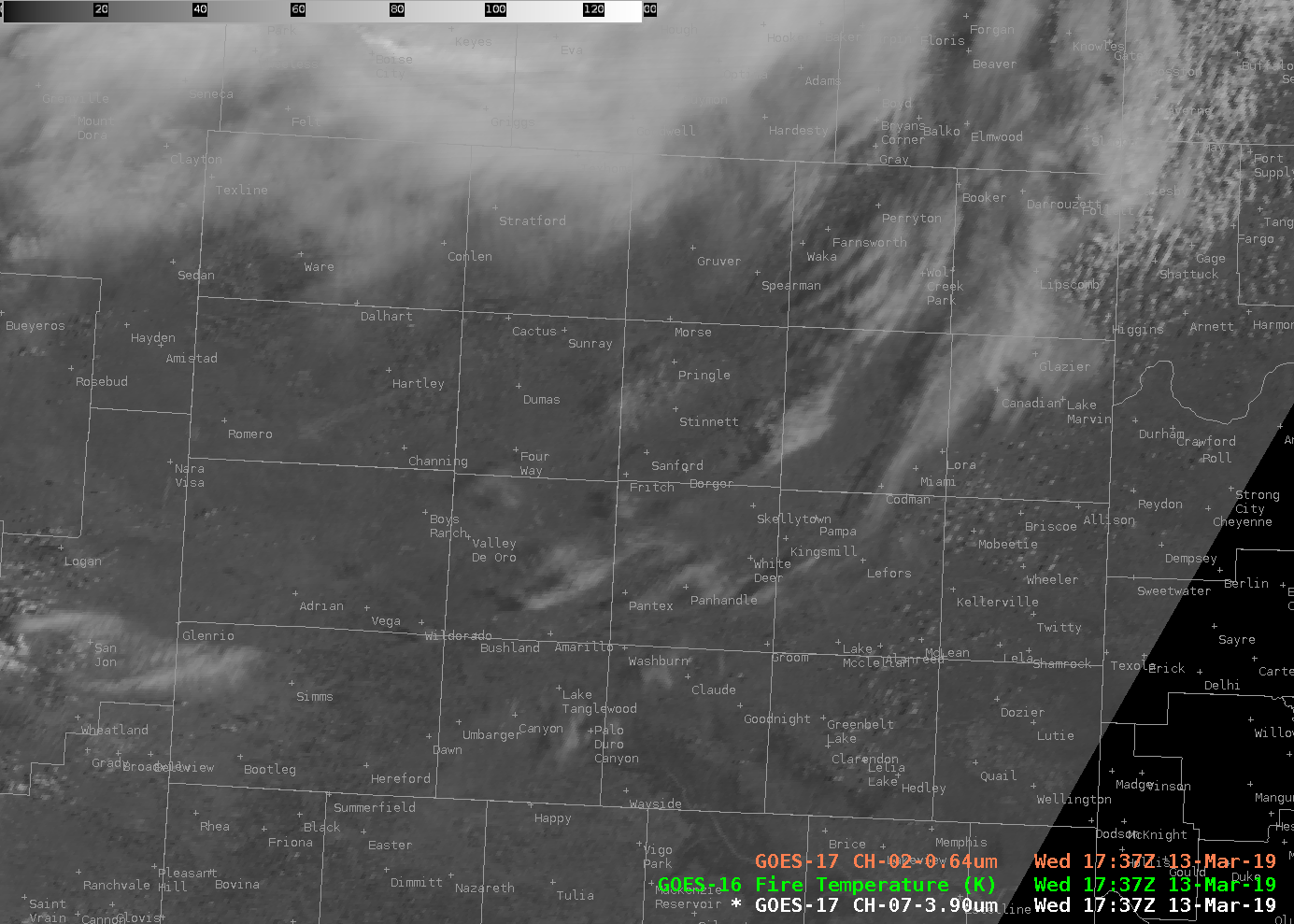
Very strong winds over the High Plains of Texas and New Mexico (associated with the extraordinary blizzard to the north) helped quickly spread a Grass Fire that developed over north Texas, north of Amarillo. (Tweet from NWS Amarillo is here). GOES-17’s Mesoscale Sector 1 was over the southern Plains, and viewed the fire development in 1-minute increments. The shortwave infrared (3.9 µm) imagery is shown in an mp4 animation above (Click here for an animated gif). Visible Imagery is shown below, and the smoke plume from the fire is difficult to see. (Click here for an animated gif). The fire first became apparent in the shortwave infrared imagery around 1837 UTC.

GOES-17 ABI Band 2 “Red” Visible (0.64 µm) Imagery, 1737-2006 UTC on 13 March 2019 (Click to play mp4 animation)
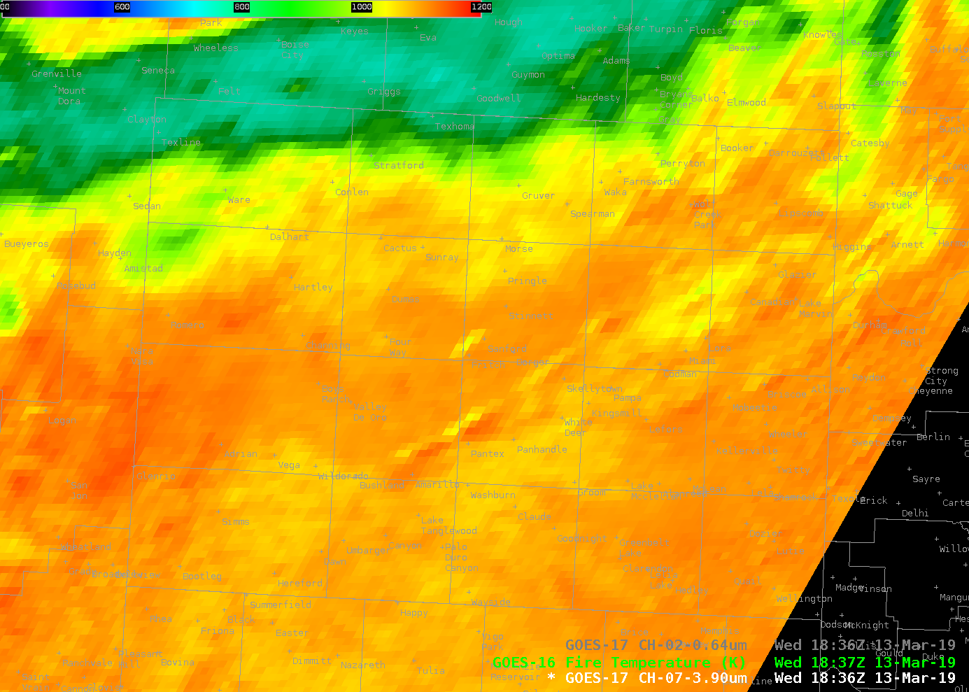
GOES-17 Fire Detection and Characterization Algorithm (FDCA) products (the Baseline Fire Product) are not yet available: distribution of these products has been delayed because of GOES-17’s Loop Heat Pipe problems (https://cimss.ssec.wisc.edu/satellite-blog/archives/29874; Blog Post 2). GOES-16 did view this fire, however, and are shown in the animation below. FDCA products are not produced for Mesoscale Domains, however, so only a CONUS product, available every 5 minutes is shown. The fire was first visually apparent in the Band 7 imagery at 1837 UTC (the fire is just northwest of a lake, and halfway between Stinett and Four Way on the map, and Fire Temperature was diagnosed starting at 1842 UTC. Note that the pixels from GOES-16, above the Equator at 75.2 Longitude are quite different from those from GOES-17, above the Equator at 137.2 W Longitude.
Both GOES-17 (and GOES-16) 3.9 µm Imagery could be used to monitor this event. GOES-16 Baseline Fire Detection products also viewed the fire, but these products are not produced for Mesoscale domains so only a 5-minute cadence is available.

GOES-17 ABI Band 7 Shortwave infrared (3.9 µm) Imagery, and GOES-16 Fire Temperature, 1836-1850 UTC on 13 March 2019 (Click to enlarge)
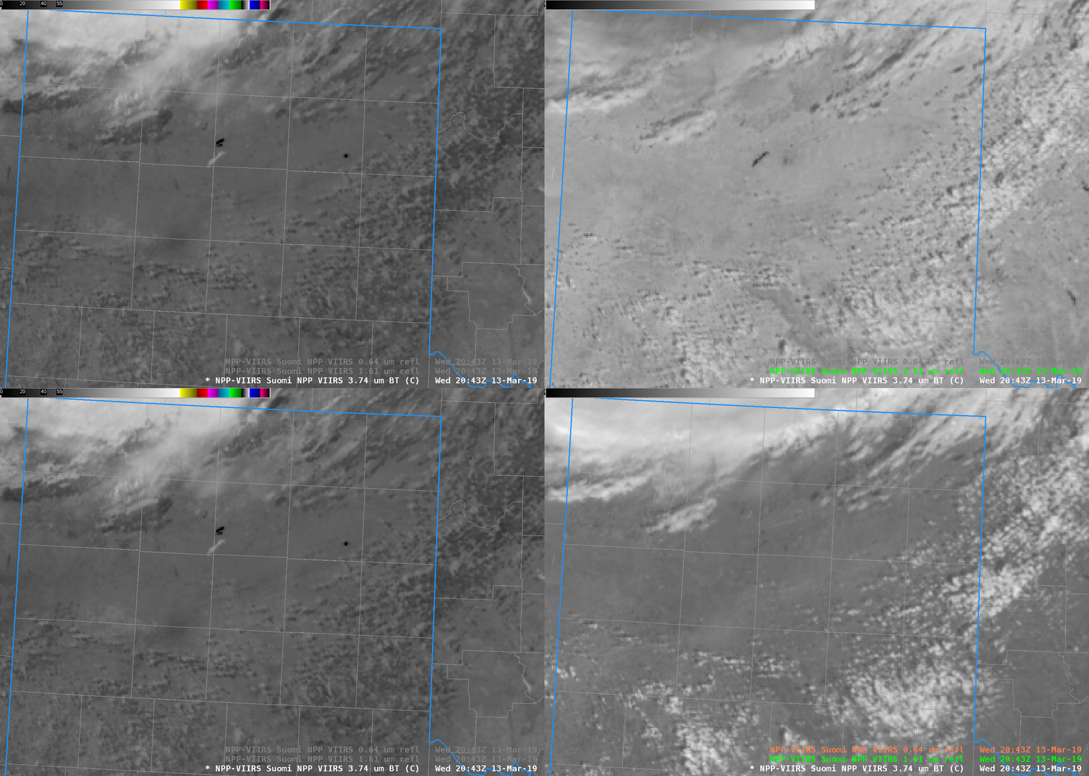
Suomi NPP overflew the region after 2030 UTC on 13 March, and it provided a higher-resolution image of the fire than is available from GOES. The toggle below compares the shortwave infrared (3.9 µm), the snow/ice channel (1.61 µm) and the visible (0.64 µm) from VIIRS (the Visible Infrared Imaging Radiometer Suite). The shape of the fire is better defined in the VIIRS imagery. (A second fire is also apparent to the east). A useful strategy, if possible, is to use GOES-17 or GOES-16 to monitor the evolution of the storm, and to use VIIRS imagery from Suomi NPP and/or NOAA-20 to see details in the horizontal structure. This animation compares the fire views (at 2043 UTC) from Suomi NPP, GOES-16 and GOES-17.


