Rare December tornado in Washington
Preliminary Damage Results for Port Orchard Tornado have been released. Survey finds EF-2 #tornado damage from Tuesday December 18th. Details in graphic and at: https://t.co/fnaZxgYG6U #wawx #PortOrchardTornado pic.twitter.com/jxpsBgkmgC
— NWS Seattle (@NWSSeattle) December 19, 2018
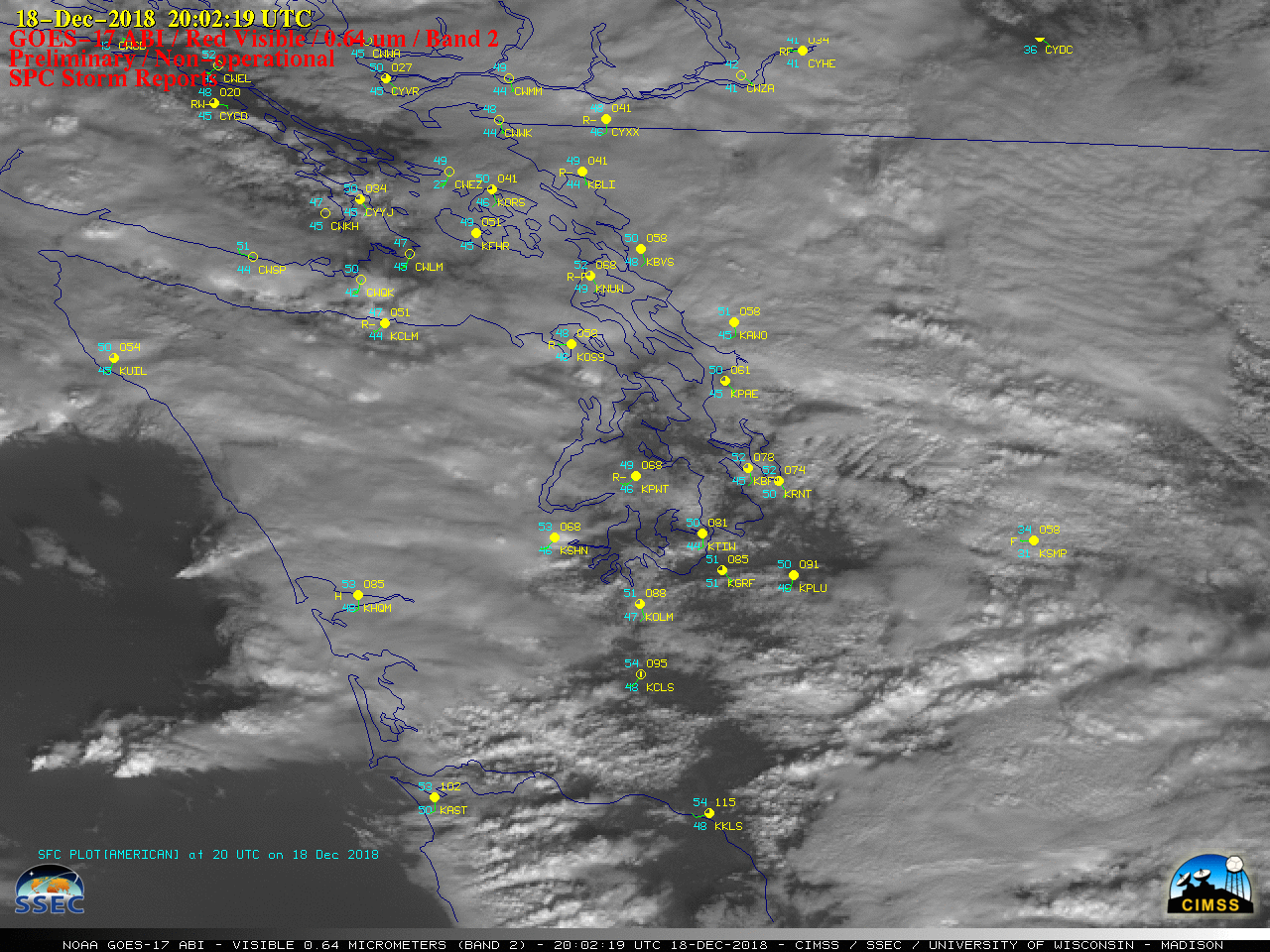
GOES-17 “Red” Visible (0.64 µm) images, with plots of hourly surface reports and SPC storm reports [click to play animation | MP4]
* GOES-17 images shown here are preliminary and non-operational *
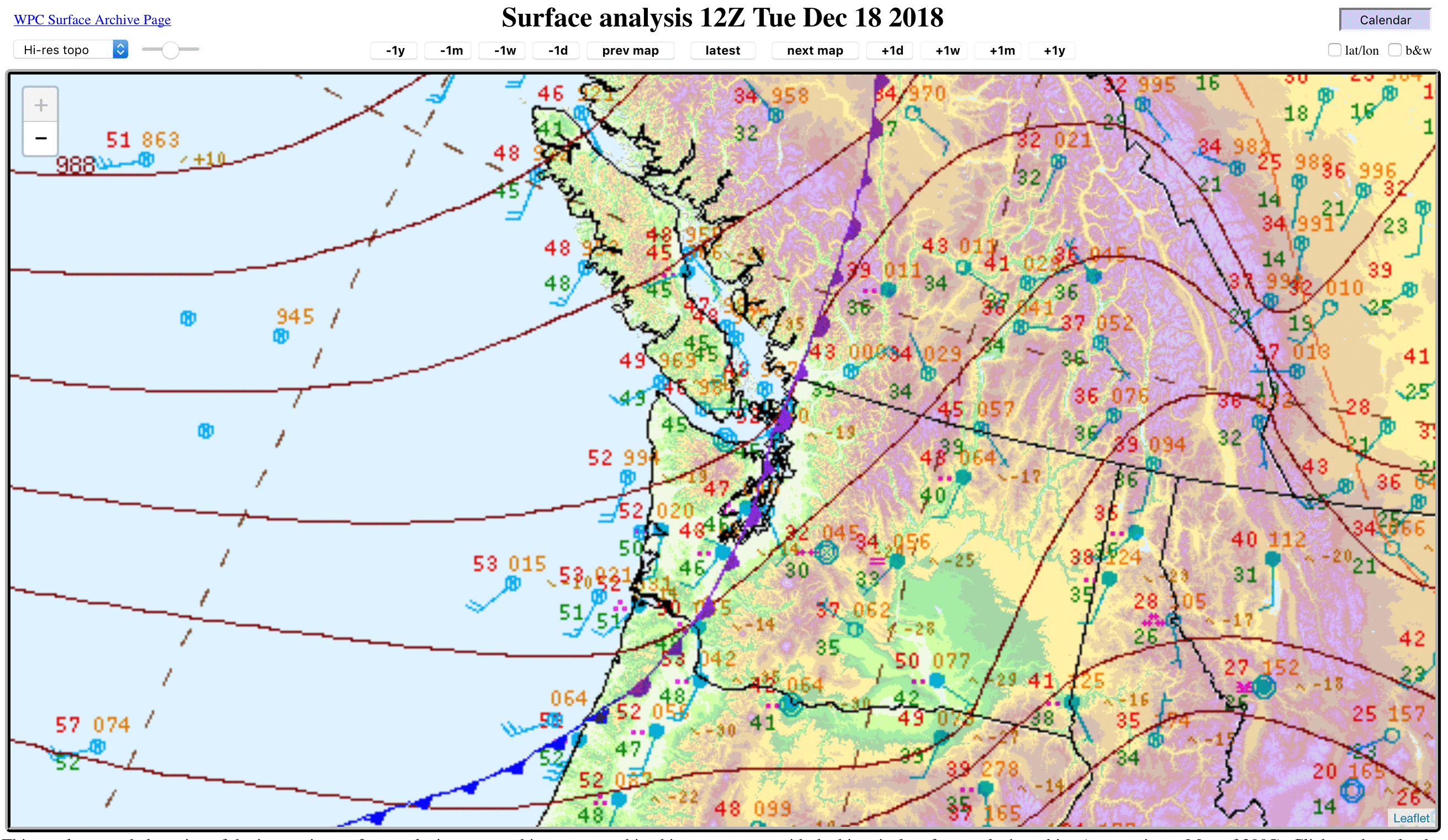
A rare December tornado occurred in Port Orchard, Washington on 18 December 2018. GOES-17 “Red” Visible (0.64 µm) images (above) and “Clean” Infrared Window (10.3 µm) images (below) showed the thunderstorms that moved eastward across the area in the wake of the passage of an occluded front earlier in the day.
![GOES-17 "Clean" Infrared Window (10.3 µm) images, with plots of hourly surface reports and SPC storm reports [click to play animation | MP4]](https://cimss.ssec.wisc.edu/satellite-blog/wp-content/uploads/sites/5/2018/12/181218_goes17_infrared_spcStormReports_WA_tornado_anim.gif)
GOES-17 “Clean” Infrared Window (10.3 µm) images, with plots of hourly surface reports and SPC storm reports [click to play animation | MP4]
![GOES-17 "Red" Visible (0.64 µm) image at 2147 UTC, with SPC tornado report plots at their actual and "parallax-corrected" locations [click to enlarge]](https://cimss.ssec.wisc.edu/satellite-blog/wp-content/uploads/sites/5/2018/12/181218_2147utc_goes17_visible_spcStormReport_parallax_WA_tornado_anim.gif)
GOES-17 “Red” Visible (0.64 µm) image at 2147 UTC, with SPC tornado report plots at their actual and “parallax-corrected” locations [click to enlarge]
![GOES-17 "Clean" Infrared Window (10.3 µm) image at 2147 UTC, with SPC tornado report plots at their actual and "parallax-corrected" locations [click to enlarge]](https://cimss.ssec.wisc.edu/satellite-blog/wp-content/uploads/sites/5/2018/12/181218_2147utc_goes17_infrared_spcStormReport_parallax_WA_tornado_anim.gif)
GOES-17 “Clean” Infrared Window (10.3 µm) image at 2147 UTC, with SPC tornado report plots at their actual and “parallax-corrected” locations [click to enlarge]
![VIIRS Infrared Window (11.45 µm) images from Suomi NPP (overpass time 2042 UTC) and NOAA-20 (overpass time 2132 UTC) [click to enlarge]](https://cimss.ssec.wisc.edu/satellite-blog/wp-content/uploads/sites/5/2018/12/181218_suomiNPP_noaa20_viirs_infrared_WA_tornado_anim.gif)
VIIRS Infrared Window (11.45 µm) images from Suomi NPP (overpass time 2042 UTC) and NOAA-20 (overpass time 2132 UTC), with the location of the SPC tornado report plotted in red [click to enlarge]
![NOAA-20 VIIRS Infrared Window (11.45 µm) images at 1952 UTC and 2032 UTC [click to enlarge]](https://cimss.ssec.wisc.edu/satellite-blog/wp-content/uploads/sites/5/2018/12/181218_noaa20_viirs_infraredWindow_WA_anim.gif)
NOAA-20 VIIRS Infrared Window (11.45 µm) images at 1952 UTC and 2032 UTC [click to enlarge]