Mesoscale vortices in Oregon and Idaho
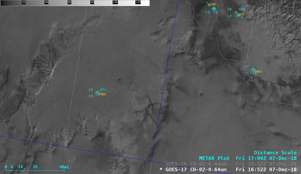
?Cool vortex in the stratus/fog between Burns Junction and Jordan Valley, Oregon this afternoon. Another one was also visible in a higher cloud deck near the Owyhee Mountains #orwx #idwx pic.twitter.com/sL0GfqBUdp
— NWS Boise (@NWSBoise) December 8, 2018
* GOES-17 images shown here are preliminary and non-operational *
As noted by NWS Boise, a pair of mesoscale vortices were apparent over far southeastern Oregon and far southwestern Idaho on 07 December 2018. A comparison of GOES-17 and GOES-16 (GOES-East) “Red” Visible (0.64 µm) images (below) showed that even with the larger GOES-16 viewing angle (or satellite zenith angle), the features could still be seen rather well.

GOES-17 and GOES-16 “Red” Visible (0.64 µm) images [click to play animation | MP4]


![Topography in feet [click to enlarge]](https://cimss.ssec.wisc.edu/satellite-blog/wp-content/uploads/sites/5/2018/12/or_id_vortex_topo.png)
![12 UTC rawinsonde data from Boise, Idaho [click to enlarge]](https://cimss.ssec.wisc.edu/satellite-blog/wp-content/uploads/sites/5/2018/12/181207_12utc_kboi_raob.png)
