SpaceX launch of Spaceflight SSO-A
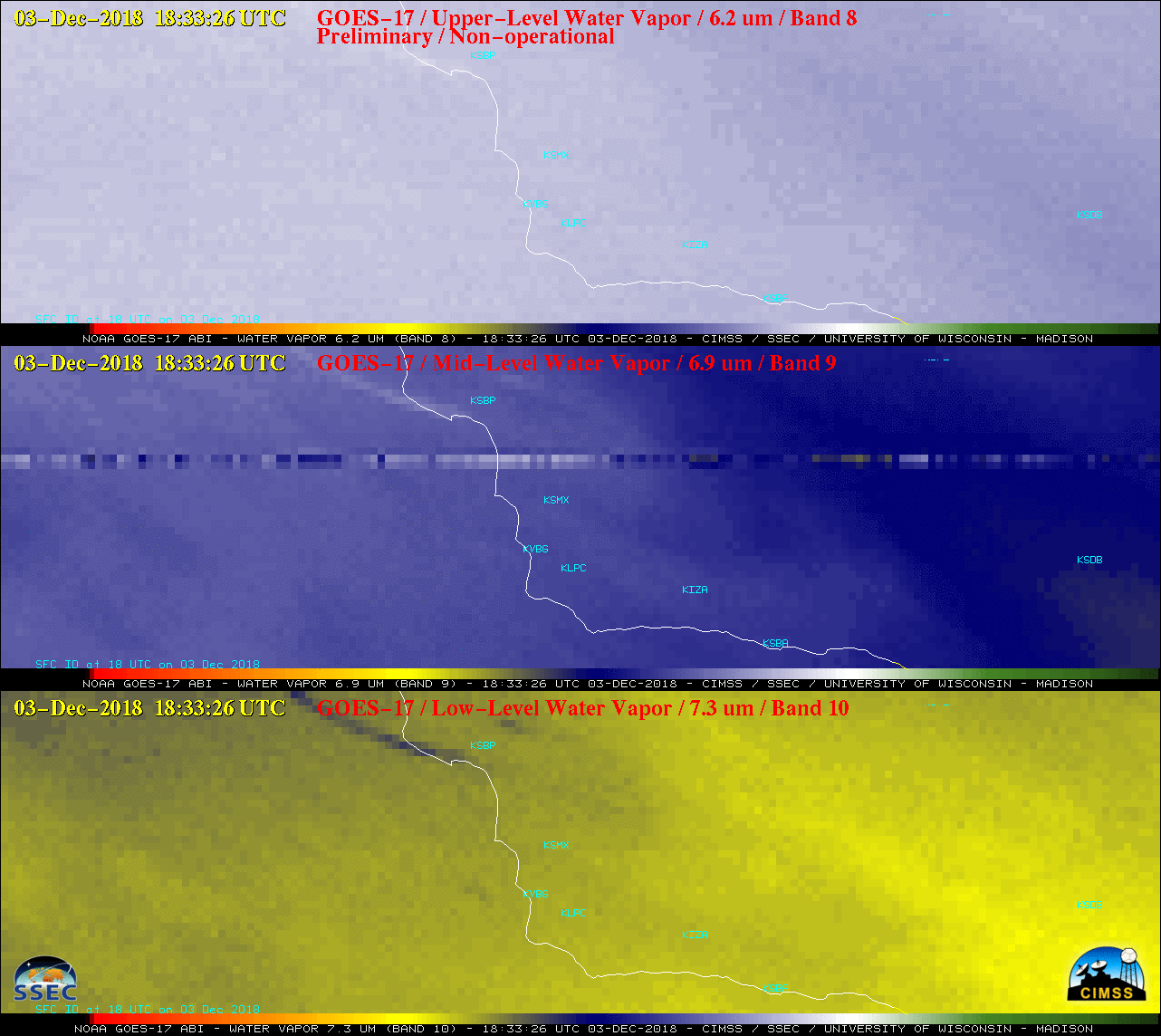
GOES-17 Upper-level (6.2 µm), Mid-level (6.9 µm) and Low-level (7.3 µm) Water Vapor, plus Near-Infrared “Snow/Ice” (1.61 µm), Near-Infrared “Cloud Particle Size” (2.24 µm) and Shortwave Infrared (3.9 µm) images [click to enlarge]
* GOES-17 images shown here are preliminary and non-operational *
SpaceX launched a Spaceflight SSO-A mission from Vandenberg Air Force Base (KVBG) in California at 1834 UTC on 03 December 2018. GOES-17 Upper-level (6.2 µm), Mid-level (6.9 µm) and Low-level (7.3 µm) Water Vapor images in addition to Near-Infrared “Snow/Ice” (1.61 µm), Near-Infrared “Cloud Particle Size” (2.24 µm) and Shortwave Infrared (3.9 µm) images (above) showed the hot thermal signature of superheated air from the booster rocket engines, along with a brief cold thermal signature of the booster engine condensation cloud on Water Vapor images. A second hot thermal signature was seen over the adjacent waters of the Pacific Ocean at 1840 UTC as the first stage rocket fired its entry burn to land on a drone ship. Since a GOES-17 Mesoscale Domain Sector was positioned over that region, images were available at 1-minute intervals.