High cloud shadow over eastern Iowa
@CIMSS_Satellite: Any idea what the relatively small, darker area/depression was going over Grundy County (west of Waterloo) from 1232z to 1342z? Most prevalent at 1312z. Shows up in all GOES bands. Channel 7 also shows a corresponding darker area just north of that area.
— Andrew Ansorge (@ajsorge) June 18, 2018
It’s always good to get a question that lends itself well to the “What the heck is this?” blog category. The answer, as is often the case, relies on an examination of imagery from a variety of GOES-16 ABI bands. To begin, note the darker feature seen on 1-minute Mesoscale Domain Sector GOES-16 “Blue” Visible (0.47 µm), “Red” Visible (0.64 µm) and Near-Infrared “Vegetation” (0.86 µm) images (below), which was moving northeastward across eastern Iowa and passing just to the west of Waterloo (KALO) on the morning of 18 June 2018.
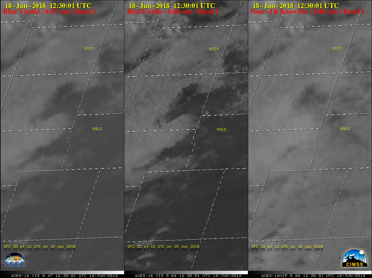
GOES-16 “Blue” Visible (0.47 µm, left), “Red” Visible (0.64 µm, center) and Near-Infrared “Vegetation” (0.86 µm, right) images [click to play animation | MP4]

GOES-16 Near-Infrared “Cirrus” (1.37 µm, left), Mid-level Water Vapor (6.9 µm, center) and Upper-level Water Vapor (6.2 µm, right) images [click to play animation | MP4]
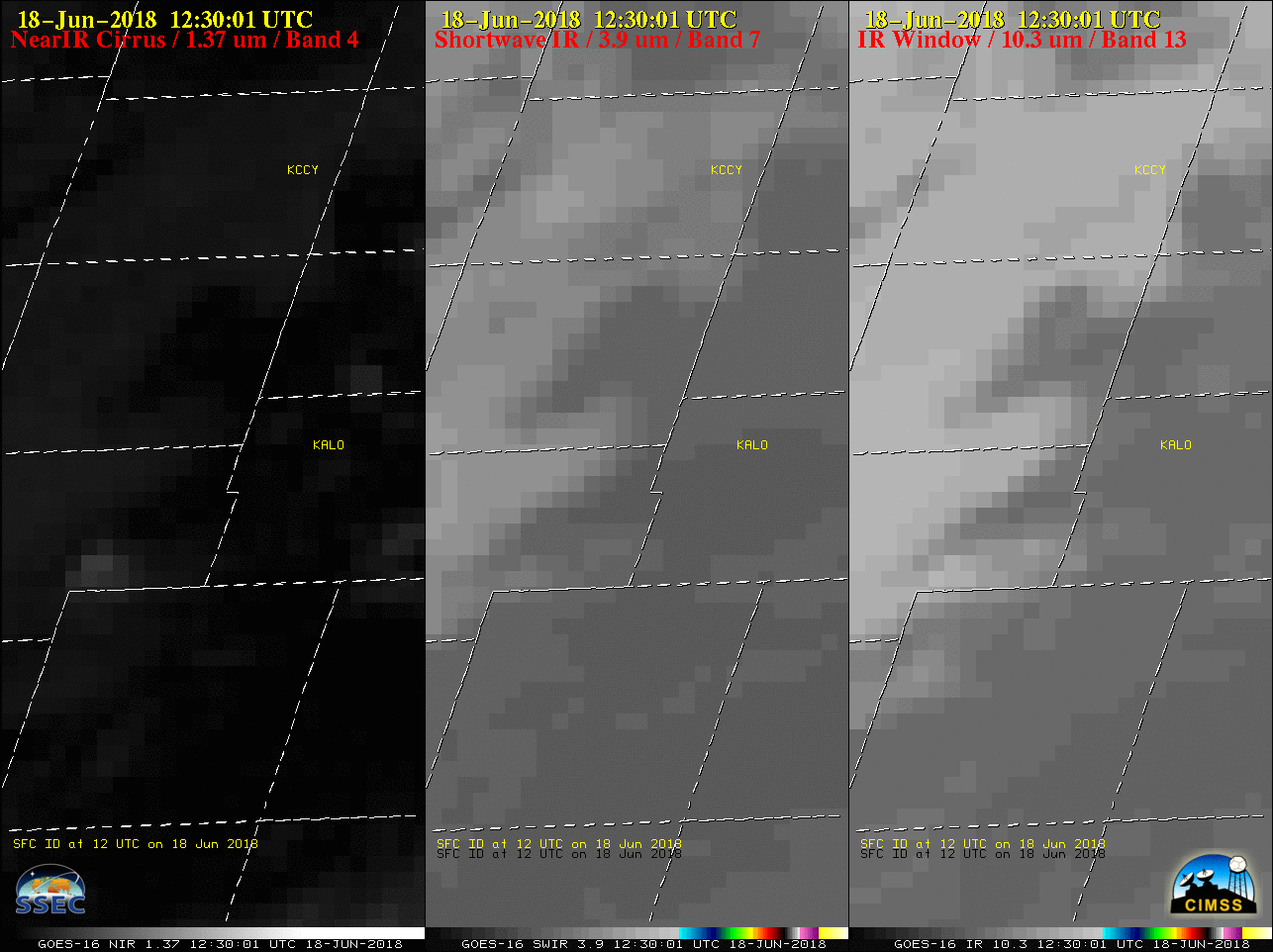
GOES-16 Near-Infrared “Cirrus” (1.37 µm, left), Shortwave Infrared (3.9 µm, center) and “Clean” Infrared Window (10.3 µm, right) images [click to play animation | MP4]
![12 UTC rawinsonde data from Davenport, Iowa [click to enlarge]](https://cimss.ssec.wisc.edu/satellite-blog/wp-content/uploads/sites/5/2018/06/180618_12UTC_KDVN_RAOB.GIF)
12 UTC rawinsonde data from Davenport, Iowa [click to enlarge]