Winter storm from the Upper Midwest to the Northeast US
GOES-16 Water Vapor (6.9 µm) images, with hourly plots of surface weather [click to play MP4 animation]
A winter storm produced heavy snow across parts of the Upper Midwest on 13 March 2017, and then merged with subtropical jet stream energy to help develop an intense and rapidly-deepening storm which affected much of the Northeast US during 14 March – 15 March (WPC storm summary). GOES-16 ABI Water Vapor (6.9 µm) images covering the 13-15 March period (above) showed the development and motion of this complex storm. .
A closer view of the Northeast US on 14 March (below) displayed some of the complex banding structures associated with the deepening storm, and also showed the sharp gradient of precipitation type along the coastal areas. Notable weather impacts included a storm total snowfall of 48.4 inches at Hartwick, New York, a new all-time 24-hour snowfall accumulation of 31.1 inches at Binghamton, New York, 0.4 inch of freezing rain accumulation at Chesilhurst, New Jersey and a wind gust of 77 mph at Plum Island, Massachusetts.
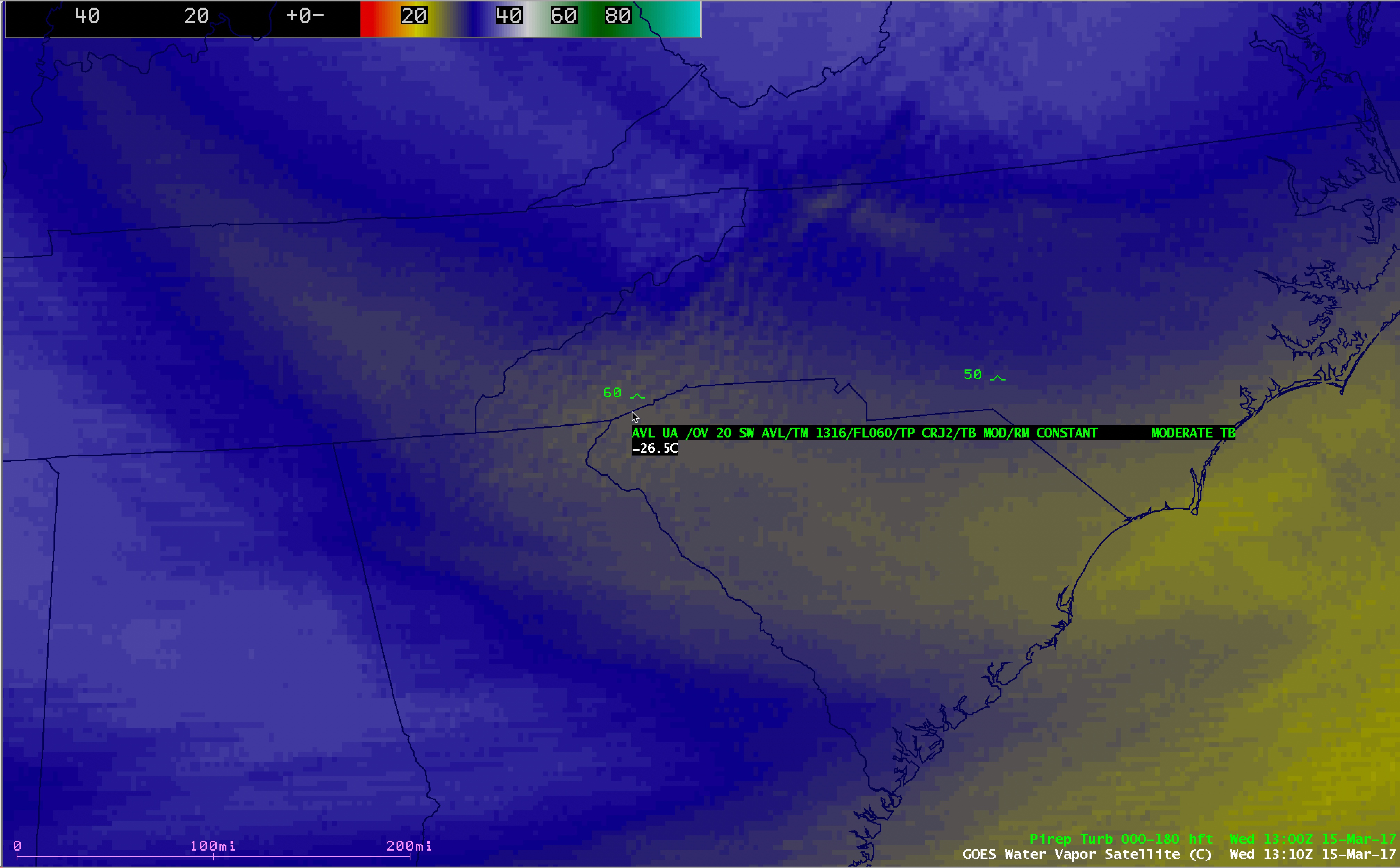
Some interesting features were also seen in the wake of the large Northeast US component of the storm. For example, a GOES-16 Mesoscale Sector provided 1-minute interval 0.5-km resolution Visible (0.64 µm) imagery of lake effect snow bands streaming southward off Lake Michigan on 14 March, which produced heavy snow in parts of southeastern Wisconsin, northeastern Illinois and northwestern Indiana (below). GOES-16 6.2 µm, 6.9 µm and 7.3 µm Water Vapor images (below) revealed widespread mountain waves downwind of the southern Appalachians on 15 March. These mountain waves were responsible for a few pilot reports of moderate turbulence, two of which are highlighted below.


![GOES-13 Water Vapor (6.5 µm) image, with pilot report of turbulence [click to enlarge]](https://cimss.ssec.wisc.edu/satellite-blog/wp-content/uploads/sites/5/2017/03/170315_1400utc_goes13_water_vapor_pirep.jpeg)