Tornado-producing severe thunderstorm in northern Italy
EUMETSAT Meteosat-10 SEVIRI High Resolution Visible (0.8 µm) images (above; click to play animation) showed the development of an isolated supercell thunderstorm that produced large hail and a violent tornado (1 fatality; estimated EF3 damage) near Venice, Italy (station identifier LIPZ) around 1530 UTC on 08 July 2015. Additional information and imagery is available from meteonetwork.
The corresponding Meteosat-10 Infrared (10.8 µm) images (below; click to play animation) revealed the development of a very cold overshooting top prior to the development of the tornado (1430-1500 UTC) — the minimum cloud-top IR brightness temperature was -70º C (darker black enhancement) on the 1445 UTC image. The overshooting top then rapidly collapsed, as seen by the warming cloud-top IR brightness temperatures on the 1515 and 1530 UTC images. Such an overshooting top collapse sometimes occurs prior to tornado formation in a supercell thunderstorm.
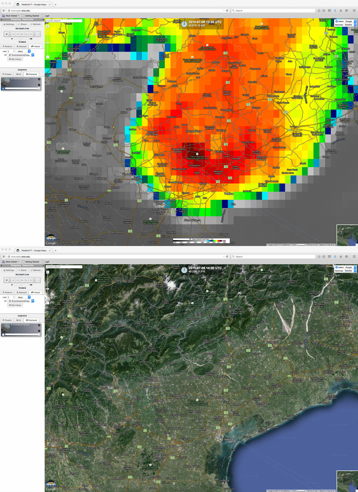
A close-up view of the 1500 UTC Metosat-10 Infrared (10.8 µm) image is shown below, as displayed using SSEC RealEarth.


